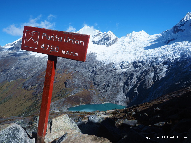
The Santa Cruz Trek is regarded as one of the most beautiful hikes in the world. The trek takes you from one side of the Cordillera Blancas to the other, via the Punta Union Pass (at 4750m) and passes through lush alpine valleys bordered by snowy mountains, with some magnificent views of turquoise alpine lakes. Unfortunately, we had pretty atrocious weather on the first and second days of our trek, and consequently the scenery didn’t look particularly impressive. ![]() Thankfully, the weather was perfect on days 3 and 4, so we could finally understand what all the fuss was about!
Thankfully, the weather was perfect on days 3 and 4, so we could finally understand what all the fuss was about!
We had contemplated doing an organized trek for the Santa Cruz route, as we haven’t done any hiking training of late and David only has trail runners with him and not proper hiking boots. However, the cheapest price that we could find on the internet for the Santa Cruz Trek was US$200 per person (not including the Park Pass and rental equipment) (we also received other quotes as high as US$800 per person!) and considering that we have all of the necessary equipment, except backpacks and also that we don’t normally like organized tours (especially after our recent tour to Quelap), we decided to hike the Santa Cruz route independently and save some money. We also wanted to hike to Laguna 69, which is accessed via the same road to Vaqueria, so instead of doing Laguna 69 as a day trip, we decided to tack it onto the Santa Cruz Trek.
It is possible to hike the Santa Cruz Trek from the towns of either Vaqueria or Cashapampa. We read various blogs and decided that we would start in Vaqueria for the following reasons:
- We hadn’t done any hiking training and there is less climbing if you start in Vaqueria;
- Apparently the sign posting is better from Vaqueria; and
- Apparently the scenery is more spectacular when hiked from Vaqueria to Cashapampa.
We were also under the impression that it is the more popular direction, so we anticipated that it would be easier to find a colectivo at the end of the hike.
As we decided to walk the Santa Cruz trek from Vaqueria, we hiked up to Laguna 69 before we started the Santa Cruz Trek. We had a lot of trouble getting a colectivo from the bus stop near Laguna 69 to Vaqueria – we waited more than 4 hours. If you intend to follow this route, you should make sure that you are waiting for the colectivo by 9am.
In hindsight, we would recommend doing the hike from Cashapampa. See our reasoning and other recommendations below.
Day 1: Caraz to Campsite at Laguna 69
From Caraz, we caught a colectivo to Yungay for 2 soles per person. From the bus station in Yungay, we then caught a colectivo to Cebollapampa, the start of the hike to Laguna 69 for 15 soles per person (you can also hire a taxi to Cebollapampa for 80 soles).
Before depositing us and our packs at Cebollapampa, the colectivo driver made a stop at one of the national park control points where we were able to purchase our park pass for 65 soles per person (it is valid for 21 days) and register for our hike to Laguna 69.
While waiting for the colectivo we met a lovely Spanish cycle tourer, Javier, who we hiked with up to the laguna. Javier also planned to start the Santa Cruz Trek the following day; however, unlike us, he didn’t plan to camp at Laguna 69. The advantage of this for him was walking up to Laguna 69 as a day trip without a heavy backpack, and staying at the campground at Cebollapamapa. It also meant that he was ready to take the early colectivo to Vaqueria the following morning.
The Laguna 69 hike is not very long, and unless you are carrying a big backpack like us, or have difficulty with the altitude, it isn’t particularly difficult. In total, it is 12kms (return), although we climbed approximately 1000m.
We haven’t done an overnight hike since we climbed Volcano Acatenango in Guatemala. That hike was only for 1 night and we were part of a tour group that was sharing equipment. For this multi-day trek, our packs were filled with food for 6 days and we had all of our camping gear with us. It was a huge shock to the system and my back was absolutely killing me! We had hired 2 backpacks in Caraz for the trek (one from Pony’s Expeditions for me and one from Apu Adventures for David). Both of the backpacks were very old and mine, in particular, was in pretty bad shape. The straps would not hold the weight and we had to tie knots in them to make them stay in place.
Generally speaking, we understand that the weather and visibility really starts to deteriorate after 11am at Laguna 69, so it’s a good idea to get an early start. We started hiking around 11am and were the last 3 people to start the hike that day. We had fabulous weather for most of the way up. Essentially, we hiked through an alpine valley, then up a series of switchbacks, past a small laguna, across another high plain (with a little river crossing) and then up a final series of switchbacks to the laguna. The views while hiking were stunning!
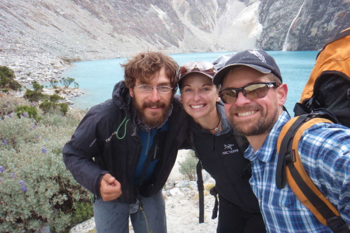
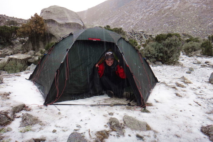
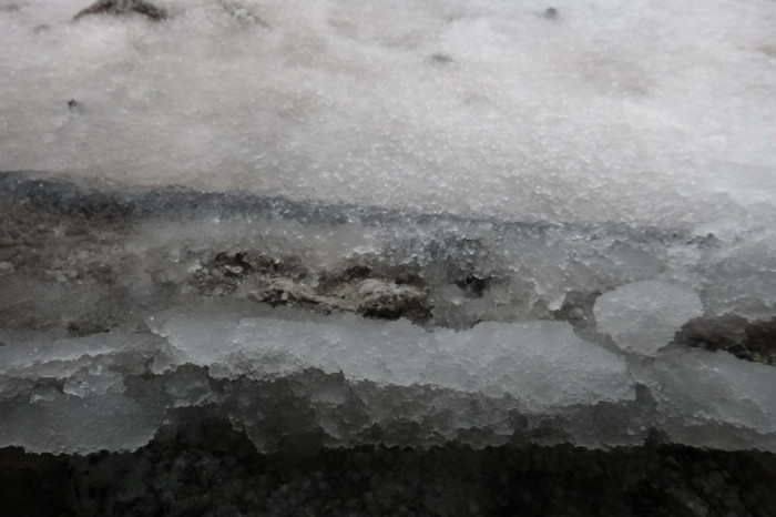
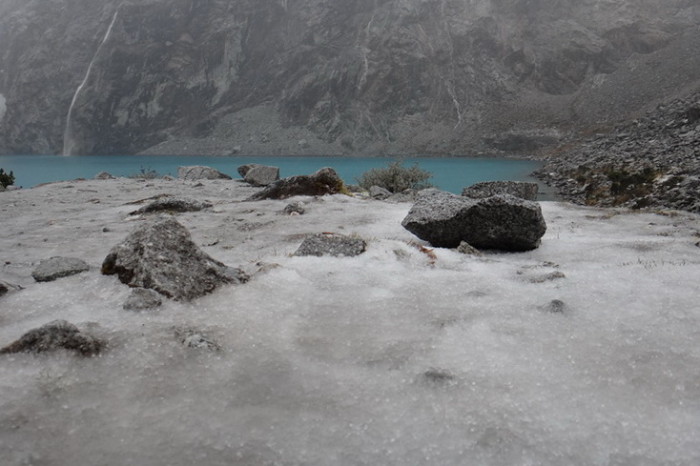
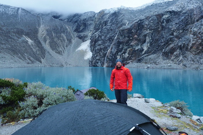
Struggling under the weight of my pack, I stopped for numerous rest stops on the way up to the laguna. As we started to climb the final series of switchbacks, the weather started to turn and the clouds closed in. I wasn’t too fussed, as we planned to camp at the laguna and I assumed that we would have some good weather in the morning. But, at 4600m, bad weather meant hail. As soon as we made it to the laguna, we took a quick picture with Javier and then had to frantically put our tent up as we were being pelted with hail. We put the tent up in record speed and then dived into it to take cover. The hail lasted for about an hour. Unfortunately, a little lake formed on our ground sheet under the tent and the floor of our tent became terribly wet, along with the bottom of our sleeping mats. It was bitterly cold at Laguna 69. We huddled in our sleeping bags to keep warm. There were 2 other couples camping at the lagoon, who we met when the hail stopped. I was extremely happy that I had packed my big down jacket, as it was freezing!
We made an early dinner of pasta and were in our tent by the time the sun went down. Thankfully, we were warm in our sleeping bags and slept well, despite the wetness in the tent and the almost constant rain overnight.
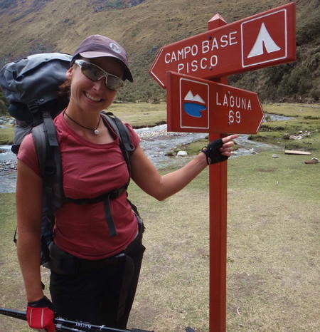
Ready to begin our hike to Laguna 69!
Ready to begin our hike to Laguna 69!
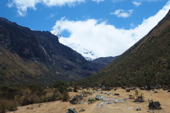
The hike started gently with a nice stroll across the valley floor
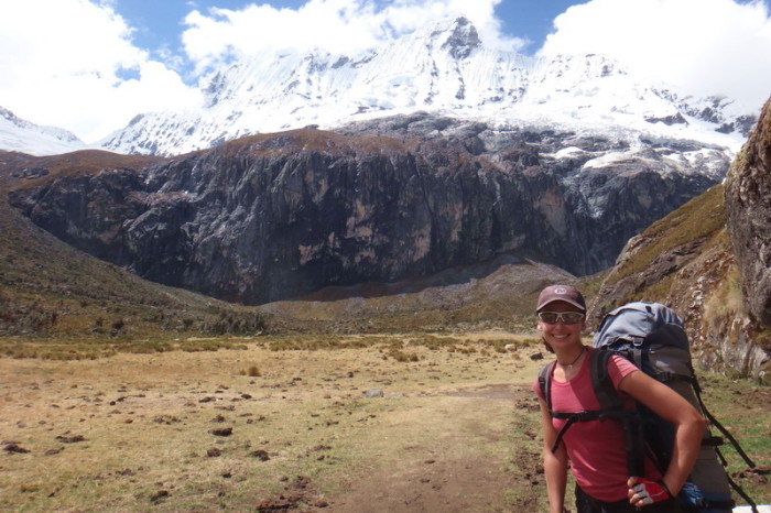
David at the beginning of our hike to Laguna 69
Views of the mountains from our lunch stop
We hadn’t walked very far when we decided to have lunch! We were joined by Javier, a cool cyclist from Spain
After lunch we started to climb a series of switchbacks. The views of the surrounding mountains and waterfalls were impressive!
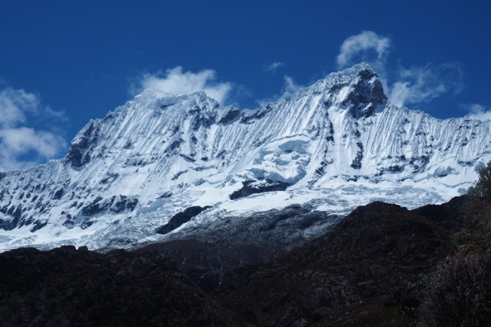
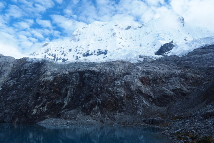
This gorgeous mountain towers over Laguna 69
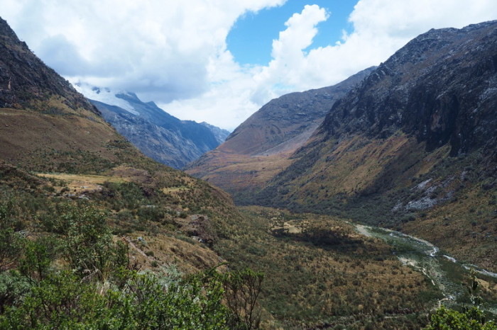
Views of the valley while climbing up the switchbacks to Laguna 69
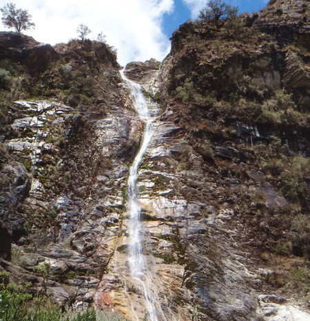
One of the waterfalls on the way to Laguna 69
After the first series of switchbacks, we came to another high plain
We hiked up to Laguna 69 with Javier – an awesome cycle tourer from Spain!
It started to hail when we arrived at the laguna – we have never put up our tent so fast!
Hail!
Laguna 69 with hail!
Day 2: Laguna 69 to start of Santa Cruz Route
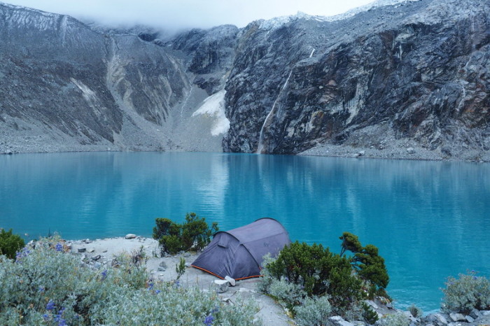
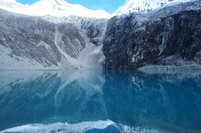
We planned to start the Santa Cruz Trek today, so we were up by 6.30am for a chilly breakfast by the laguna. We hadn’t really been able to enjoy Laguna 69 the afternoon before due to the bad weather. But, fortunately for us, the clouds started to clear as we were having breakfast and we enjoyed some magical views, with the glacier hugging the laguna in the background.
We packed up our tent and were heading back down the mountain by 8am. Although our packs were a fraction lighter, they were still incredibly heavy and we made slow progress down the mountain, with a few breaks.
We reached the road to Vaqueria around 11am. There were numerous taxis offering rides to Yungay, but there were no colectivos or taxis to Vaqueria, although we were told that there would be 2 more that afternoon. We waited for over 4 hours to get a colectivo to Vaqueria. There is little traffic from Yungay to Vaqueria after 10am. The first colectivo arrived around 2pm, but it was full. We were contemplating that we may need to camp at the campsite near the bus stop, but thankfully the final colectivo arrived at 3pm. It was also full, but as it was the last colectivo for the day, the driver agreed to squeeze us in. David had to squish in with 3 other men on the backseat and I was given a tiny stool to sit on in the aisle! The dirt road to Vaqueria is pretty hairy and our colectivo got in an accident while trying to pass a truck on one of the narrow switchbacks. The colectivo sustained some damage and we all had to hang around waiting while the drivers argued over who was at fault (we think it was our driver’s fault!). We paid 20 soles per person for the colectivo ride.
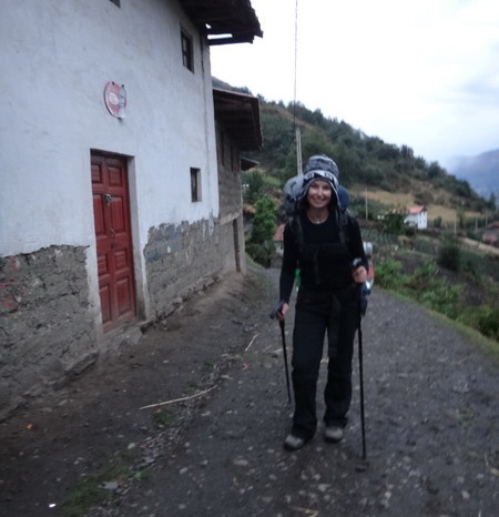
When we finally made it to Vaqueria, it was 5pm. Vaqueria is a tiny place – from what we could see, it was literally just a couple of houses. We needed some more toilet paper, but all of the shops were already closed. Thankfully, there was a local trekking guide on our colectivo, who was returning home to one of the nearby villages. He assured us that there were shops in the valley below Vaqueria along the Santa Cruz route and he told us to follow him as he was on his way home. This was very fortunate, as we weren’t able to see a single sign indicating the start of the trek! How strange! The guide led us down a little mountain path to a nearby village where, as promised, we found an open shop. He also kindly offered that we could stay at his house for the night, but we wanted to get started and figured that we still had another hour or so of daylight in which to find a campsite.
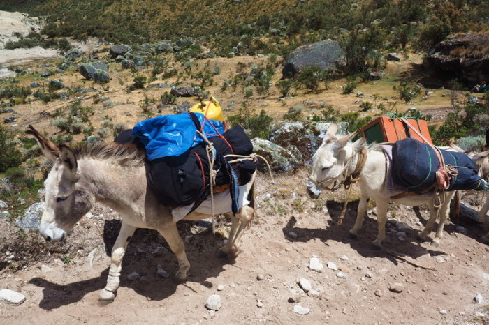
We hadn’t realized that we would be walking through local villages for as long as we did. It took us about an hour and a half to make our way clear of the last village. The locals were extremely friendly, and given our late start, many offered that we could camp in their gardens. As the sun went down, we seriously considered taking them up on their offers, but we were being bombarded with offers of donkeys to carry our gear to the top of the pass the following day, so we decided to wild camp in the national park beyond the last village.
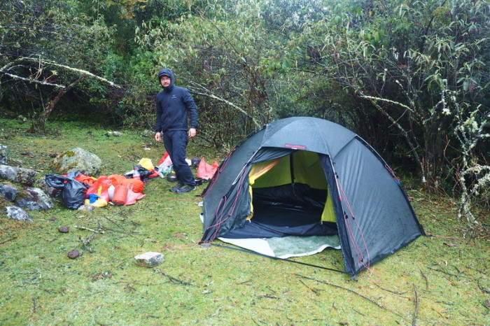
By the time we past the last house, it was dark and we needed our headlights to continue. About 2kms further, we found a lovely flat campsite above the trail. It was perfect and we decided to pitch camp. As we started to set up our tent, it started raining – great! Our tent was still wet on the inside from the day before. I tried to dry it somewhat before setting up our mats, but everything was pretty wet for the second night in a row. Meanwhile, David made us another lovely pasta dinner, which we ate huddled under some trees, trying to keep dry.
Campsites don’t get much better than this!
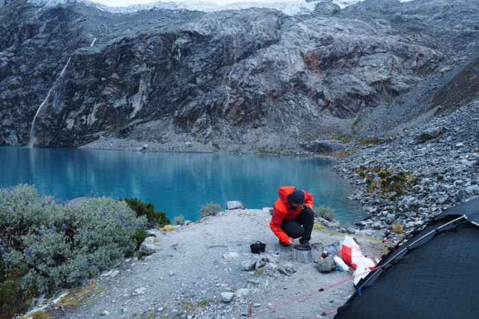
David making our brekkie at Laguna 69
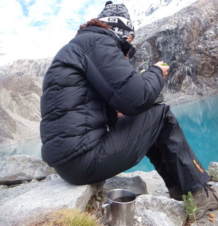
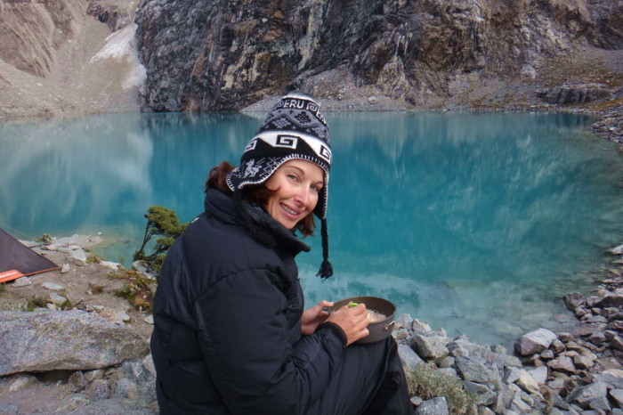
Jo enjoying brekkie and coffee with a view
Jo enjoying brekkie and coffee with a view
Campsites don’t get much better than this!
Stunning Laguna 69 on the following morning
Stunning Laguna 69 on the following morning
Stunning Laguna 69 on the following morning
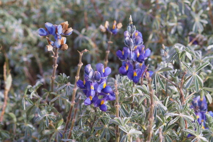
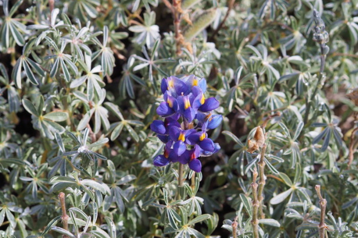
Wild flowers, Laguna 69
Wild flowers, Laguna 69
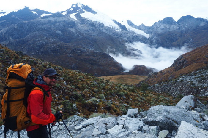
David on the descent to the high plain the following morning
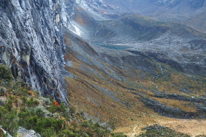
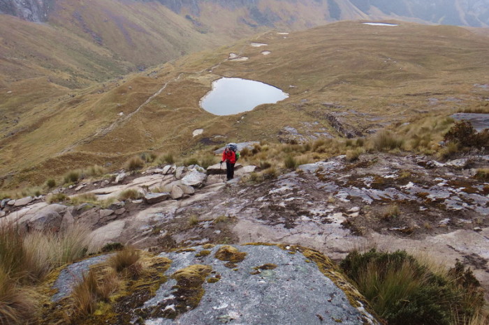
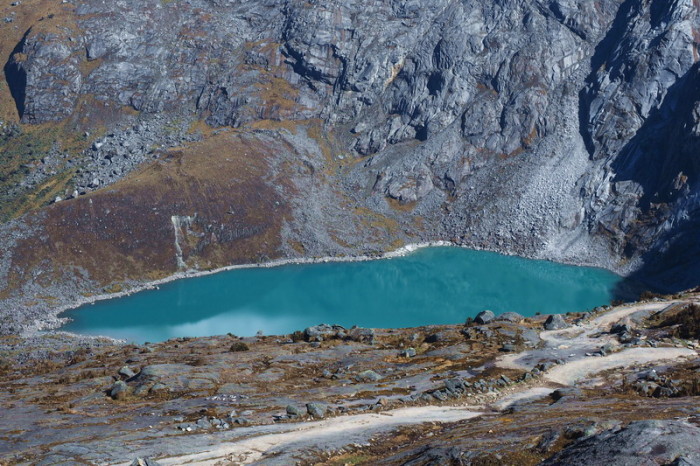
We caught glimpses of other lakes on the descent from Laguna 69
Views on the descent to the high plain the following morning
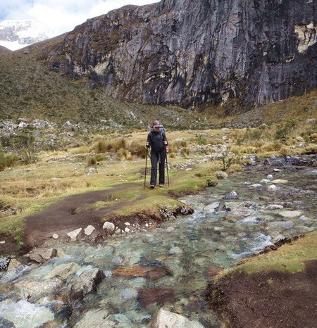
Jo at the river crossing on the high plain
Our colectivo had an accident on the way to Vaqueria …
We didn’t start hiking until 5pm and it took us a good 1.5 hours to pass through the initial villages
Day 3: Start of Santa Cruz Route to Unofficial campsite below the Punta Union Pass
We were pretty pleased with our late night campsite and didn’t think we would be visible from the trail, but while we were having breakfast (oats with jam and sultanas), a little girl from one of the local villages came begging for some biscuits and also offered us a donkey for the ascent to Punta Union! Hah – clearly another stealth camping fail!
While eating breakfast, we also discovered that our campsite was infested with tiny, biting insects, like midges. We packed up our camp in record time and hit the trail by 7.30am.
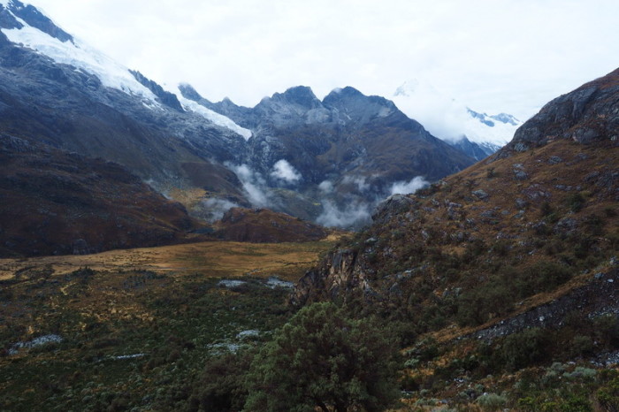
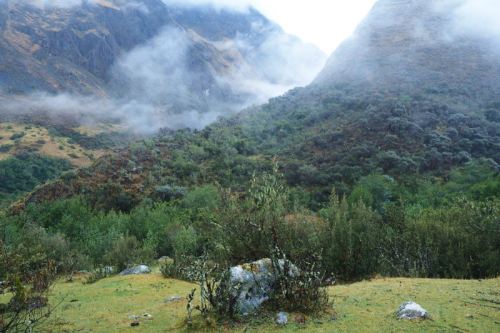
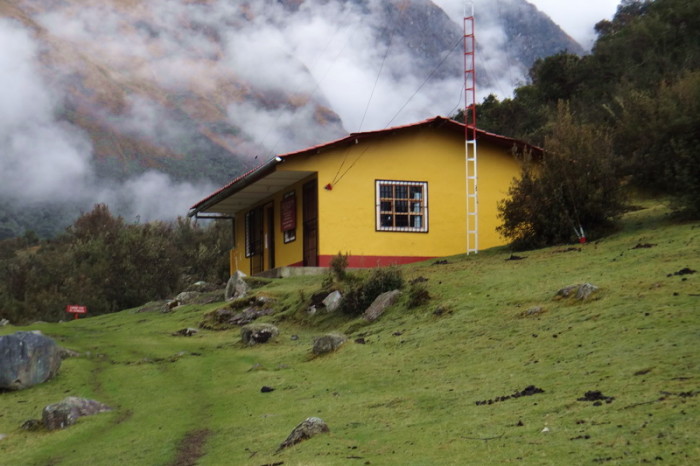
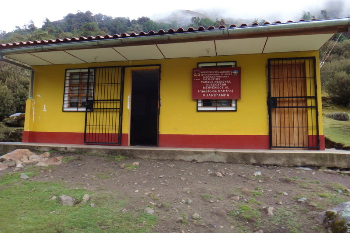
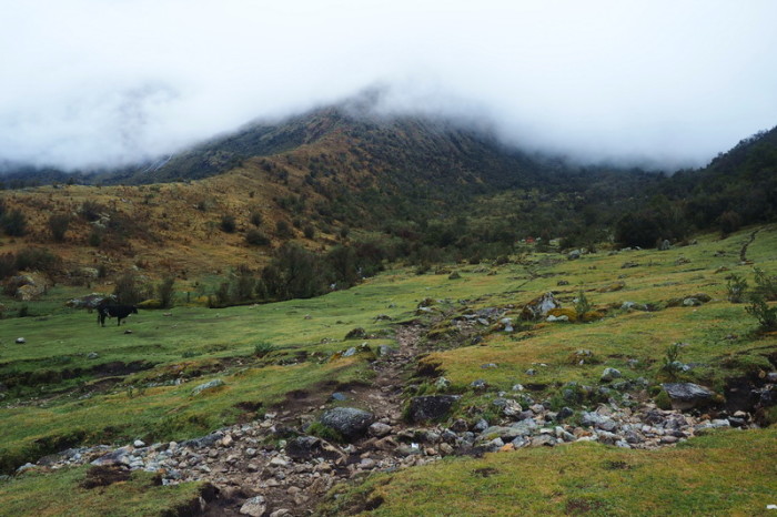
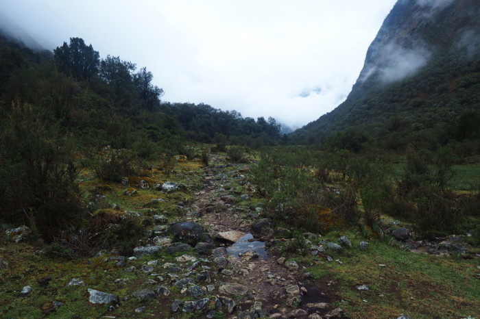
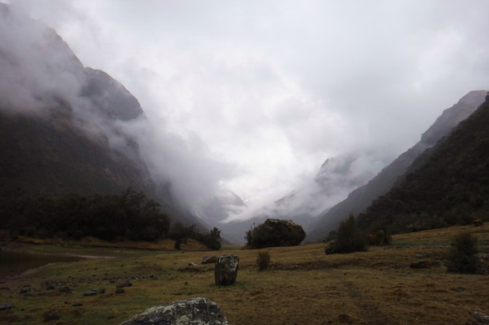
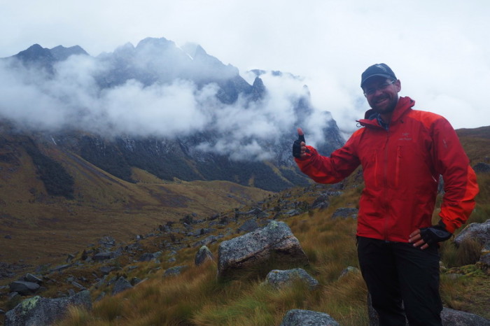
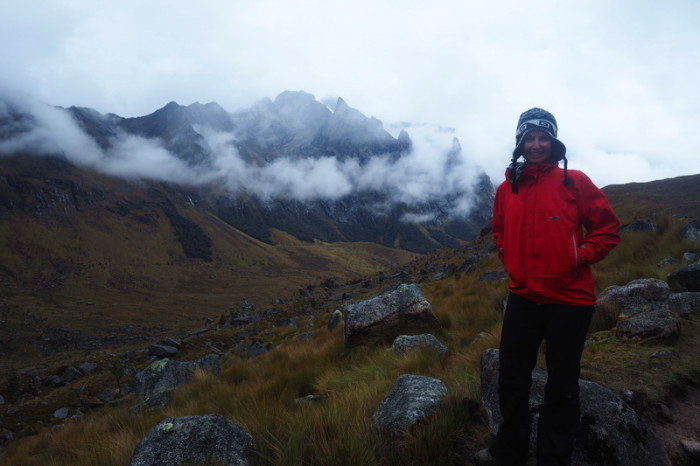
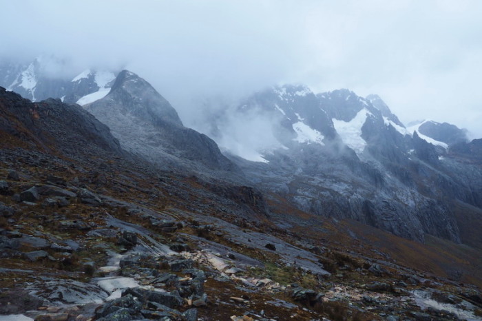
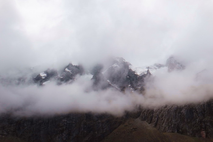
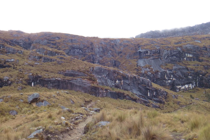
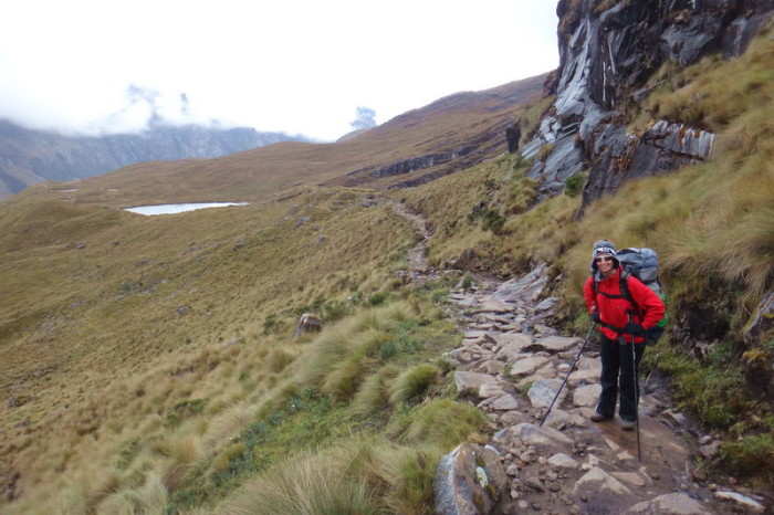
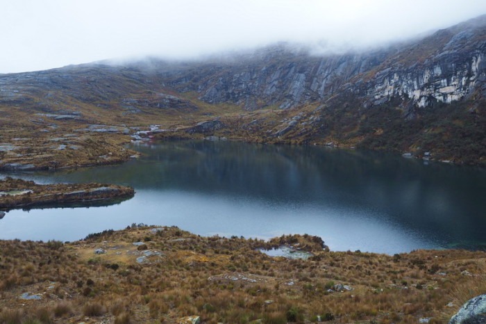
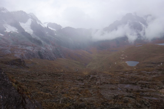
About 1km from our campsite, we came across the bright yellow refugio building, where we registered for the Santa Cruz Trek. The official at the refugio warned that rain was likely around lunchtime, but it started drizzling around 8am and continued on and off for the whole day. ![]() The surrounding mountains were enveloped in fog and the landscape looked very gloomy.
The surrounding mountains were enveloped in fog and the landscape looked very gloomy.
We found ourselves walking slightly uphill through the Paria Valley, which appeared to be pastoral land (although it is a national park), dodging cow pats. We passed a few lakes, but they were murky and in no way comparable to Laguna 69 or Paron. We stopped for lunch (bread and honey) at the second official campsite. It was still raining and we weren’t sure whether it was a good idea to push onto the pass in this weather, but we kept going.
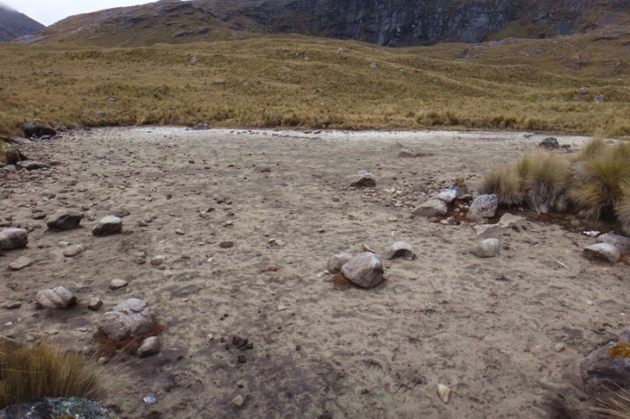
From our lunch spot, we started to climb steadily up to a little rocky path. We passed a few dry lakes and finally the rock face leading to the Punta Union Pass came into view. We stopped for a breather at the bottom of the ascent and were pleased to see that the fog that had surrounded the mountain ranges all day was clearing slightly, so we decided to push onto the Pass that afternoon.
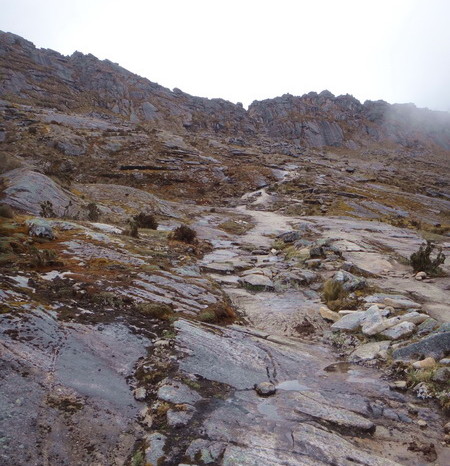
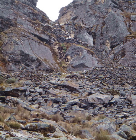
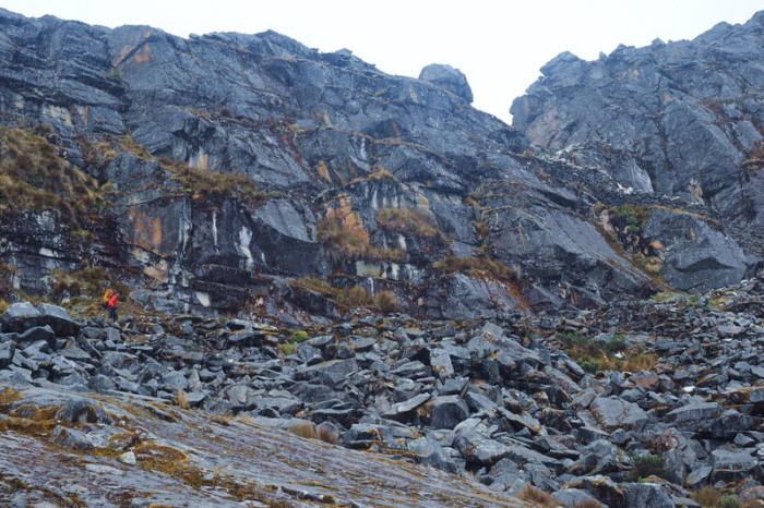
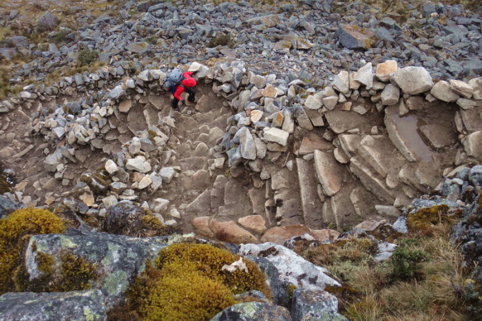
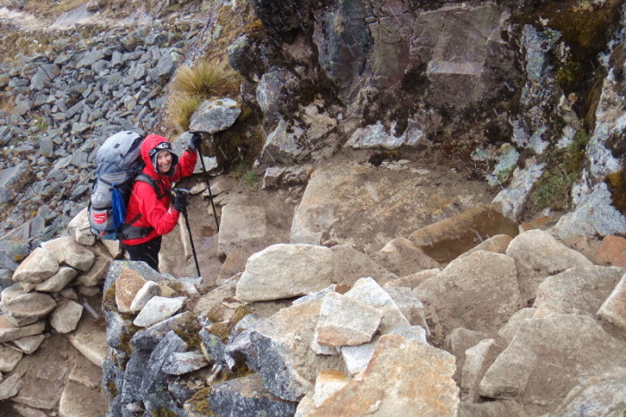
The ascent to the Punta Union Pass was very rocky, but manageable, and not overly slippery. At times we walked up rock faces and at other times, we were climbing up rock staircases. On the way up, we passed a beautiful lake. I was very tempted to camp on the bank, but David wanted to keep going while it wasn’t raining.
By the time we could see the final staircase leading up to the Punta Union Pass, it started snowing! I was extremely glad for our recent cycling and hiking above 4000m, as neither of us struggled at all with the altitude. In fact, given that we were well acclimatized to the altitude, if not for our backpacks, the hike would have been relatively easy for us. However, I can imagine that the climb up to Punta Union would be quite the challenge if you had just come up from Lima on a bus and were not appropriately acclimatized.
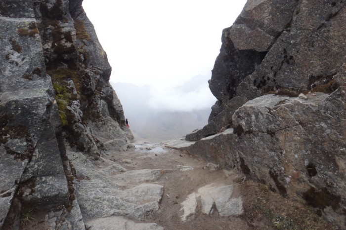
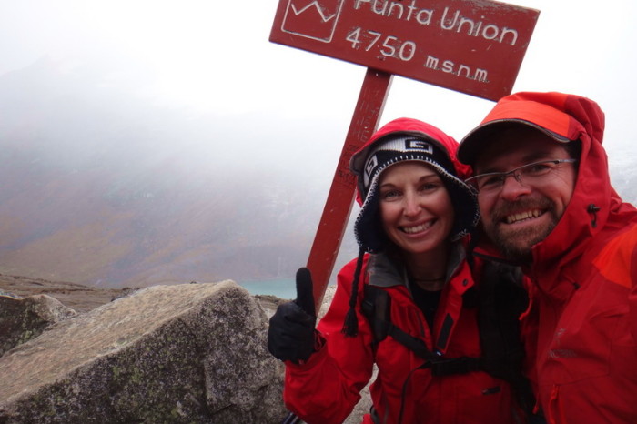
We were very excited to make it to the top of the Pass, but we couldn’t hang around for long, as it was extremely cold, snowing, windy and getting late. The Santa Cruz Valley on the other side of the Pass was also enveloped in clouds, but we could see a gorgeous turquoise lake – Laguna Taullicocha. We would have loved to camp near the laguna, but we couldn’t find a path down to it and by this stage it was after 4pm. Reluctantly, we started to make our way down the switchbacks to the valley floor. On the way down, we passed two possible campsites with views overlooking the laguna. They would have been perfect (but chilly at 4600+m), but we only had 1.5L of water between us and we couldn’t find a water source. So, we were forced to keep hiking down to the valley floor, where we found a stream and a nearby unofficial campsite.
By the time we made it to the valley floor, it was after 5.30pm. It had been a huge day of hiking and we were both happy to be free of our heavy backpacks – my back and shoulders were killing me! As usual, it started to rain as we set up our tent! We had hoped to dry our gear while having lunch, but given the weather, that hadn’t been an option.
While I set up the inside of our tent, David cooked us another yummy pasta dinner. Although we weren’t camped overlooking the laguna, we were still very high up (approximately 4400m). My teeth were chattering as we ate dinner and it took me several hours to warm up in the tent. I was so cold that I couldn’t even read my book and fell asleep by 8pm!
The campsite that we found in the dark on Day 1 of our Santa Cruz Trek
The view from our campsite
The refugio where we registered for the Santa Cruz Trek. You can camp here
The refugio where we registered for the Santa Cruz Trek. You can camp here
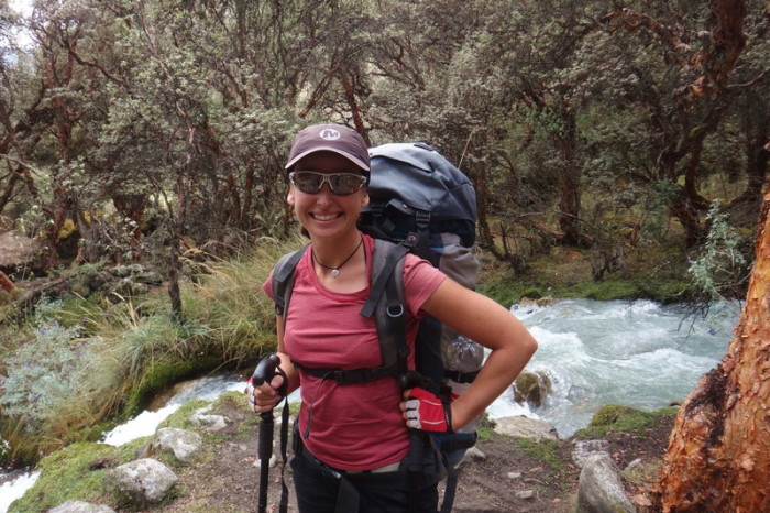
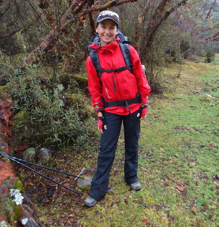
Jo on Day 2 of the Santa Cruz Trek
Misty views on Day 2 of our Santa Cruz Trek
Misty views on Day 2 of our Santa Cruz Trek
More misty views on Day 2 of our Santa Cruz Trek
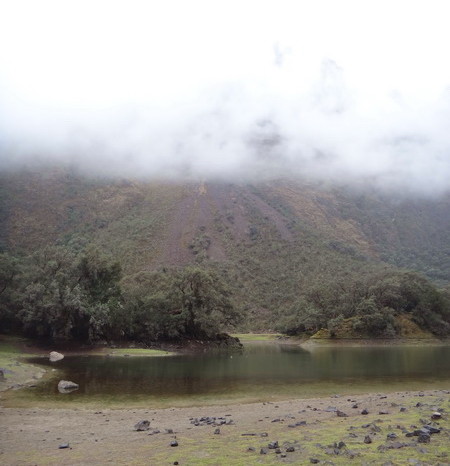
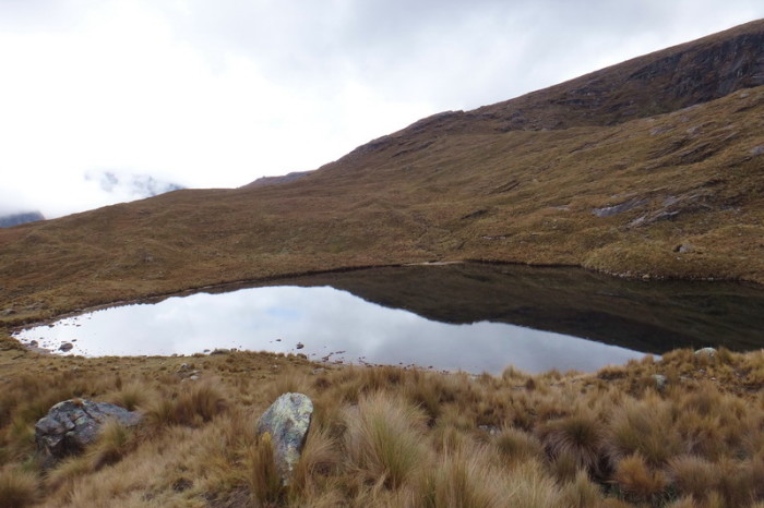
We passed this laguna early on Day 2 of our Santa Cruz Trek
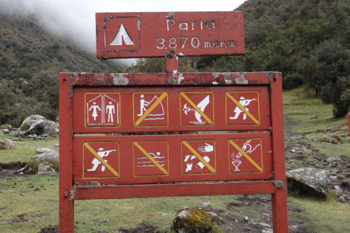
Campground Paria – the first official campsite that we passed
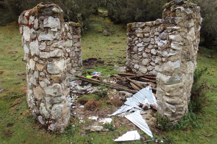
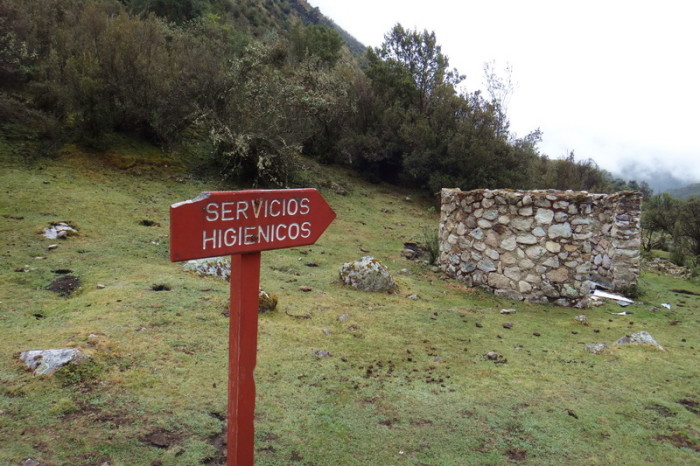
Hmmm … not very inviting. This is the toilet at Campground Paria …
Hmmm … not very inviting. This is the toilet at Campground Paria …
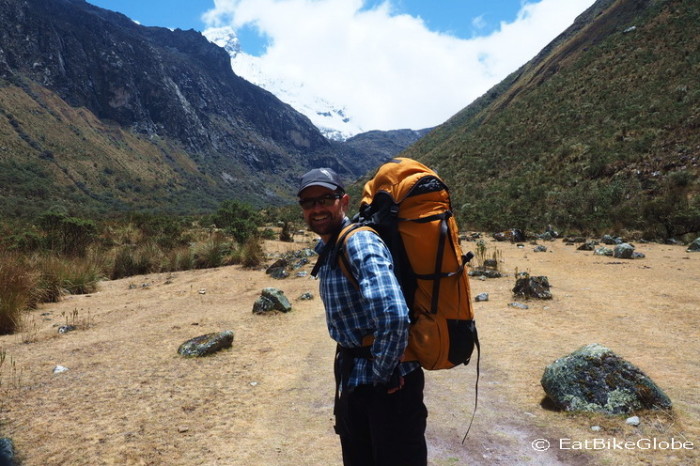
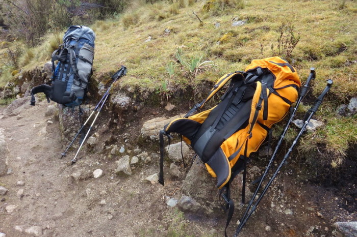
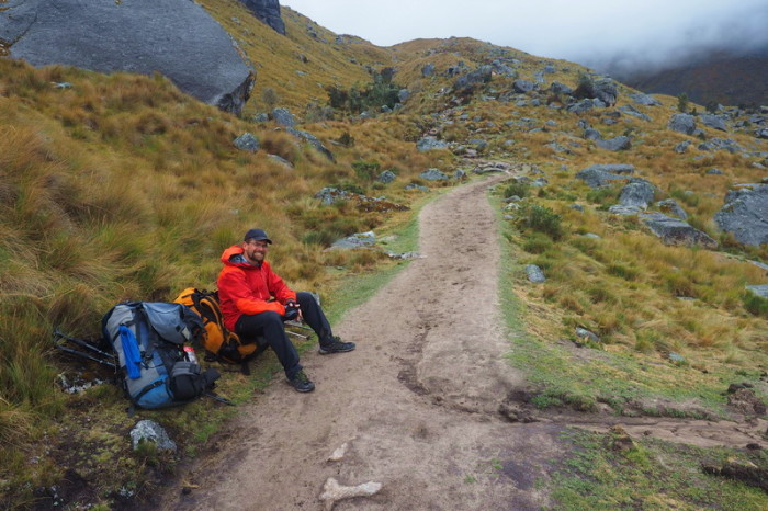
Our backpacks – we were happy to take them off whenever possible
David taking a break on Day 2 of the Santa Cruz Trek
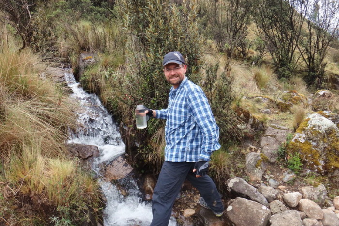
David collecting water from a mountain stream
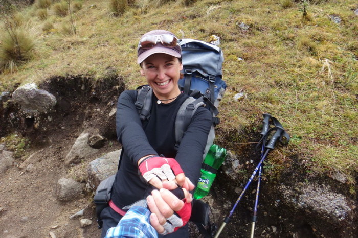
My backpack was so heavy, David had to help me stand up!
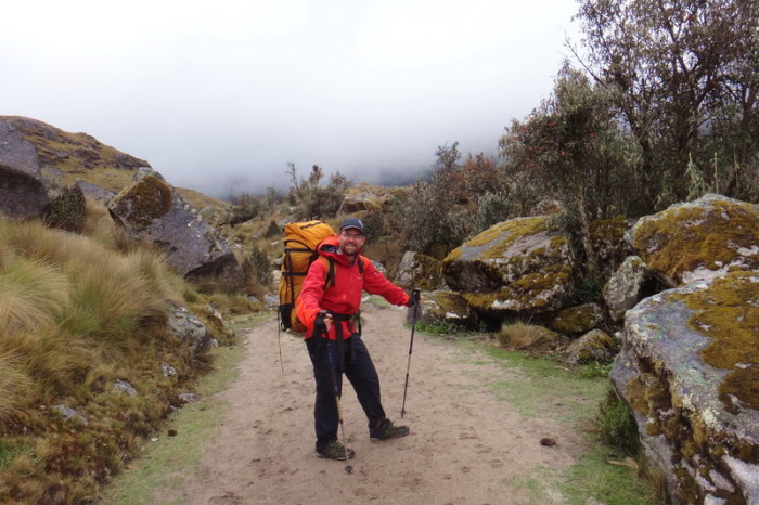
The Santa Cruz Trek is often like this – a wide hiking highway!
More misty views on Day 2 of our Santa Cruz Trek
More misty views on Day 2 of our Santa Cruz Trek
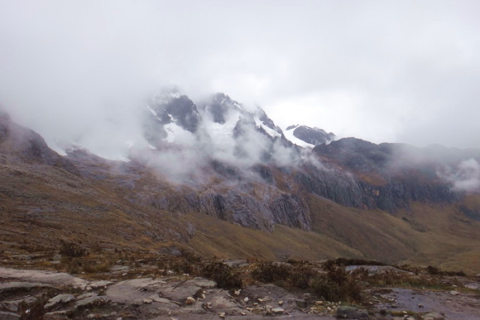
As we neared the pass at Punta Union, some of the fog cleared and we caught glimpses of the mountain ranges that we had been hiking past all day
We passed a number of dried up lagoons on the way to Punta Union
This was the view of the mountain ranges that we had for most of Day 2
It was all uphill from here to Punta Union
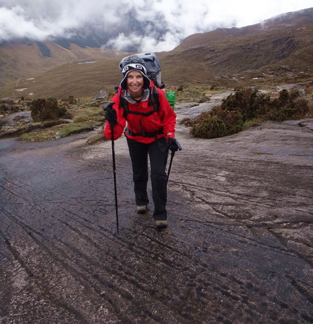
Jo hiking up to Punta Union on Day 2
Jo hiking up to Punta Union on Day 2
Jo hiking up to Punta Union on Day 2
We stopped beside this laguna before tackling the ascent up to Punta Union
The view on the way up to Punta Union – pretty miserable weather
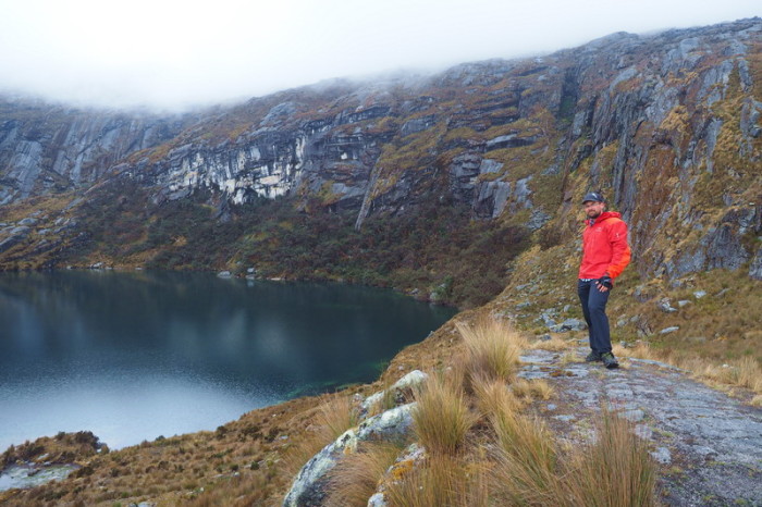
We passed this lovely lake on the way to Punta Union. It must be beautiful when the sun is shining!
We passed this lovely lake on the way to Punta Union. It must be beautiful when the sun is shining!
By this point we could see the gap in the rock that we were heading for – Punta Union – AND then it started to snow!
The view on the way up to Punta Union – pretty miserable weather
Punta Union – reached by a stone staircase
David making the last push up to Punta Union
Jo climbing the stone staircase to Punta Union
Meters away from the summit at Punta Union
Punta Union!!!
Misty views from Punta Union on Day 2
Reaching Punta Union on Day 2 in the snow!!!
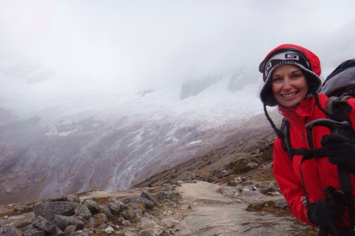
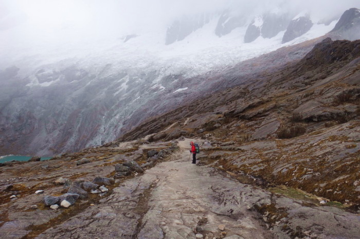
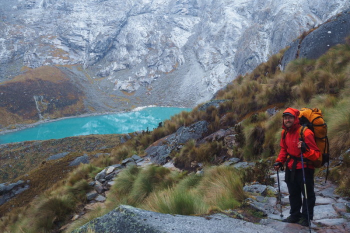
Jo on the descent from Punta Union
Jo on the descent from Punta Union
Although generally sure footed, the trail must be a little hazardous at times for donkeys … poor thing
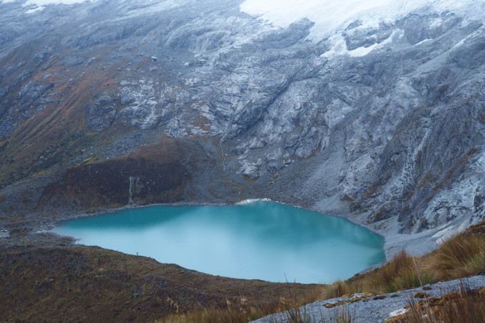
Laguna Taullicocha was a magical sight – even in the rain!
Laguna Taullicocha was a magical sight – even in the rain!
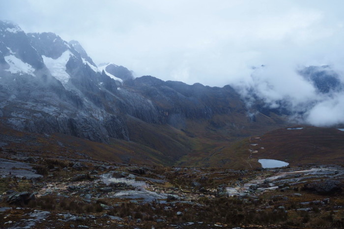
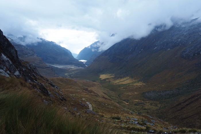
Cloudy views of the valley on our descent from Punta Union on Day 2
By the time we made it to our campsite it was getting dark. We found a well used “unofficial” campsite with access to a stream
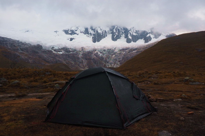
Our campsite with Mount Taulliraju in the background covered in clouds
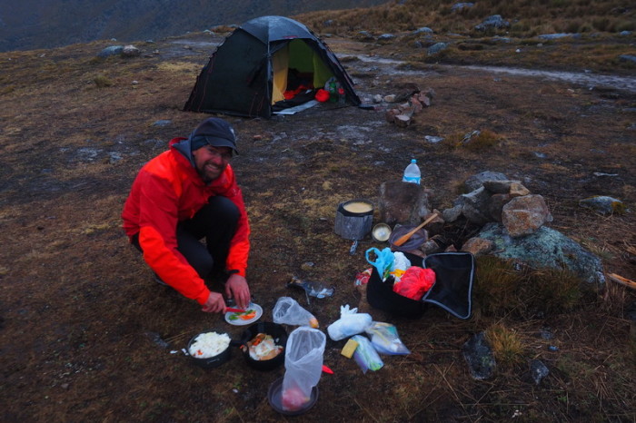
David made us a yummy pasta dinner!
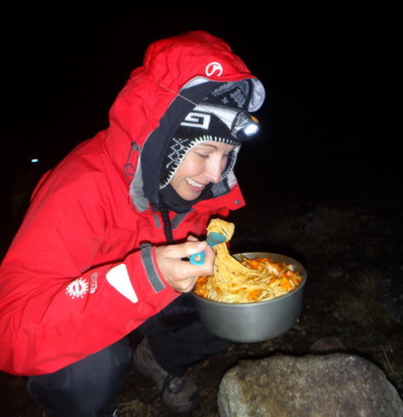
Dinner would have been perfect if my teeth weren’t chattering while eating it! It was freezing at this altitude
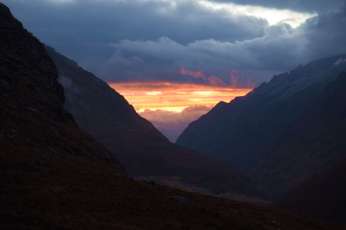
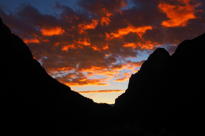
Chilly sunset on Day 2
Day 4: Unofficial campsite below Punta Union to Campground by river (7kms from Cashapampa)
I was quite disappointed that we hadn’t been able to camp overlooking the beautiful Laguna Taullicocha. Thankfully, we woke up to clear skies and the promise of a perfect day of weather. We had made up a lot of ground the previous day, so we decided that there was time for me to hike back up to the Pass to take the photos that we hadn’t been able to take the day before.
It was wonderful hiking in the crisp morning air and without my heavy backpack, I felt as light as a feather! I made it to the Pass and back, with lots of photo stops, in 2 hours. Meanwhile, David had been able to dry our tent, mats and other equipment in the sun, which was a relief, as our mats were already starting to get a little mouldy after 3 wet nights.
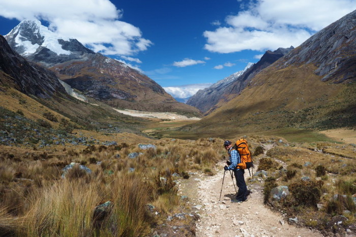
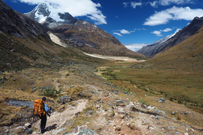
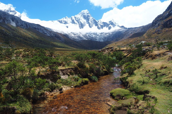
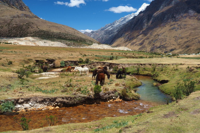
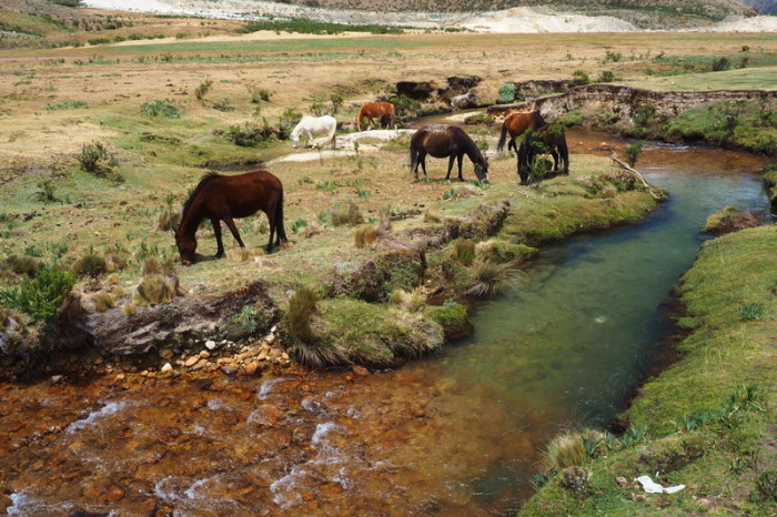
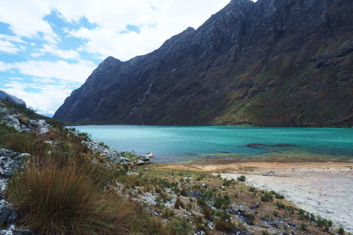
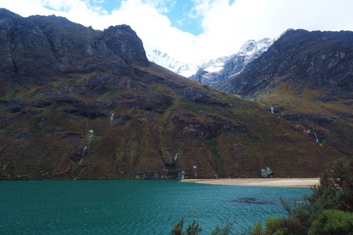
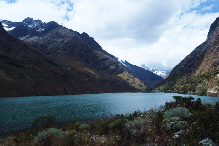
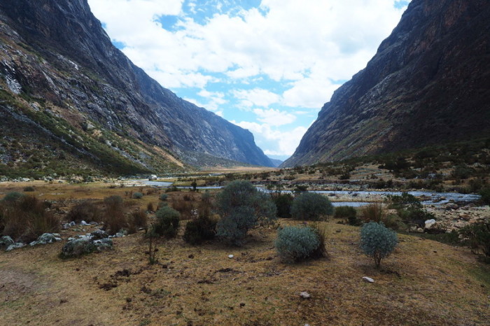
We hit the trail around 10am and soon found ourselves at the official campground of Taullipampa (4250m), which had a beautiful river running through it, with horses and cows grazing nearby. The views were incredible – the sun makes all the difference!
From the campground, we made our way down a series of rocky switchbacks to another valley floor, which led to another spectacular, blue lake – Laguna Jatuncocha. We passed the turnoff to Alpamayo, but after my morning excursion to Punta Union and our visits to Laguna 69 and Paron, we decided to skip it.
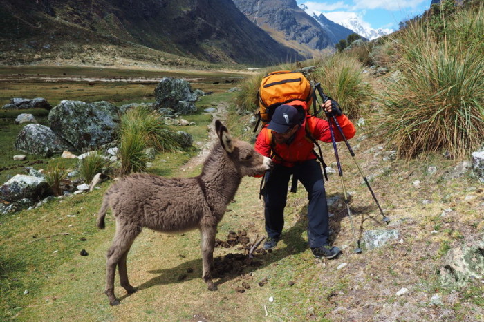
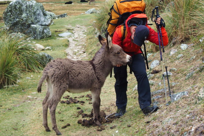
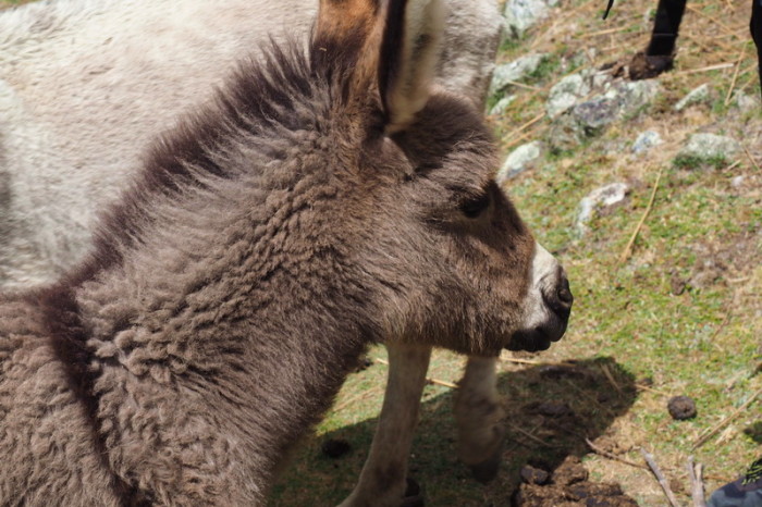
We came across a tour group which had been ahead of us since Day 1, but without heavy backpacks, as their gear was transported by donkeys, they were able to stay ahead of us for the remainder of the day. We stopped for lunch at Laguna Jatuncocha and then continued hiking, slightly downhill, into some wetlands. The wetlands were very popular with the local cows and donkeys. The donkeys were quite friendly and a curious little foal followed us for a short distance.
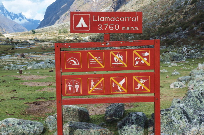
After the wetlands, we followed a rocky track along the river. Eventually, we came to the official campsite of Llamacorral (3800m), but we wanted to camp closer to Cashapampa, so we kept going. In general, we were very surprised by the state of the toilet facilities at all of the official campsites – they really did not look useable. This was one of the reasons why we camped each night at unofficial campsites.
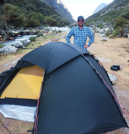
We hiked for another 2km, until we found a lovely campsite by the river. It was about 4.30pm by the time we made camp for the night and amazingly, it did not rain as we were putting up the tent! It had been another 8 hour day of hiking for me. Thankfully, my back wasn’t feeling too bad (as David was taking most of the heavy stuff), but he was suffering a bit of back pain. ![]()
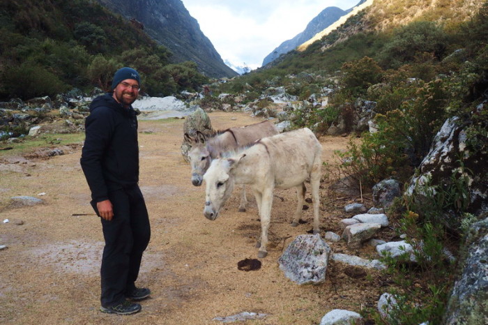
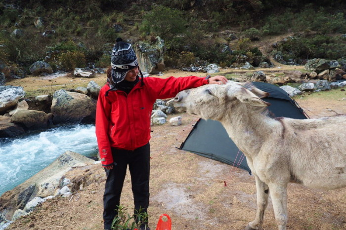
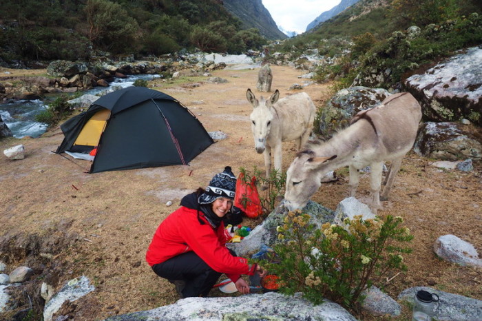
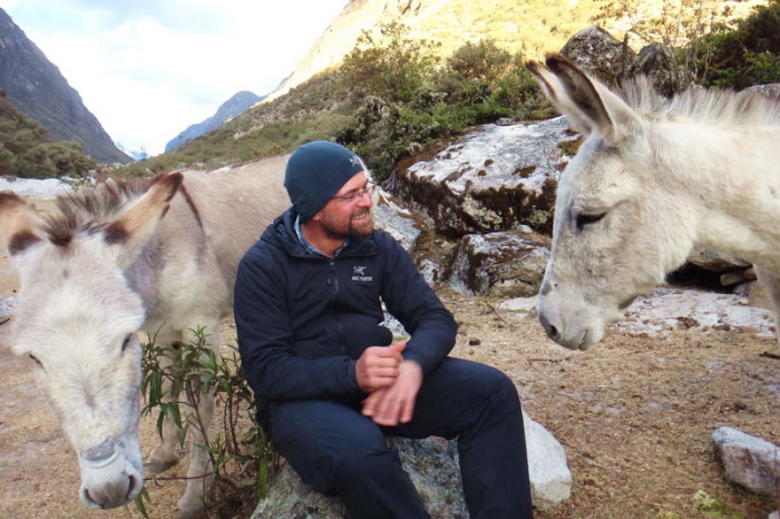
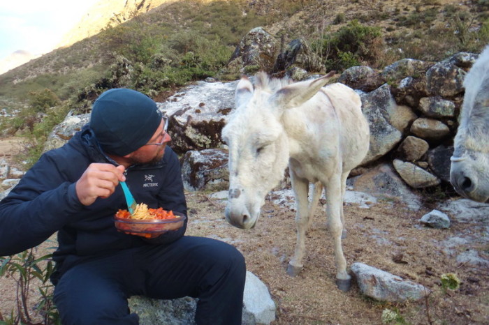
After our freezing dinner the night before, I was keen for us to cook while it was still daylight. We started cooking around 5pm and the smells of our yummy pasta sauce attracted a pair of donkeys! They were lovely and enjoyed eating some carrot peal and an unripe avocado that we didn’t want to carry any further. They looked longingly at our dinner, until David had to chase them away. Some people are accompanied by “trail dogs” on the Santa Cruz Trek, but we seem to attract donkeys!
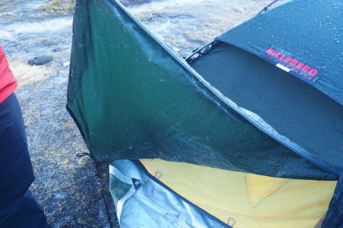
Our tent was covered with ice the following morning!
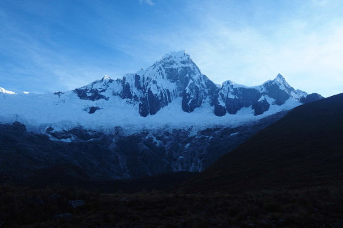
View of Mount Taulliraju from our campsite on Day 3
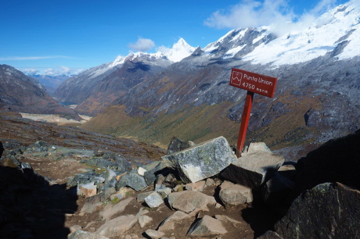
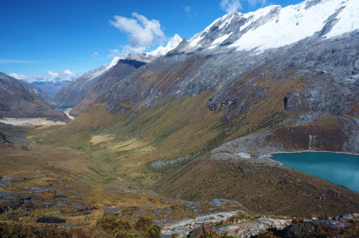
Jo hiked back up to Punta Union on the morning of Day 3 to take pictures of the pass in the sunshine. This is the view from Punta Union of Paria Valley that we should have had the day before. So much nicer in sunshine!
Jo hiked back up to Punta Union on the morning of Day 3 to take pictures of the pass in the sunshine. This is the view from Punta Union of Paria Valley that we should have had the day before. So much nicer in sunshine!
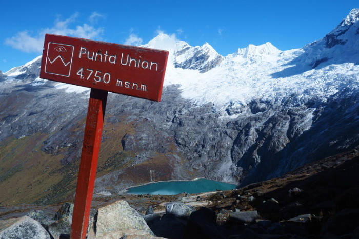
The highest point of our trek – the Punta Union Pass at 4750m, with views of stunning Laguna Taullicocha
The highest point of our trek – the Punta Union Pass at 4750m, with views of stunning Laguna Taullicocha
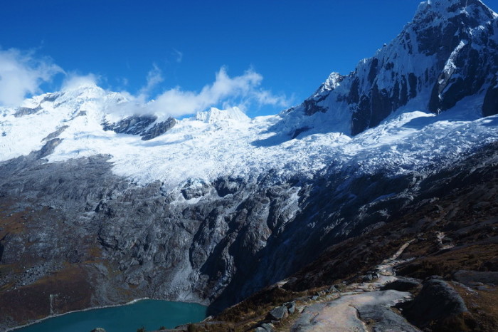
Mount Taulliraju and Laguna Taullicocha – simply gorgeous in the sunshine!
Mount Taulliraju and Laguna Taullicocha – simply gorgeous in the sunshine!
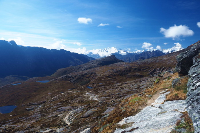
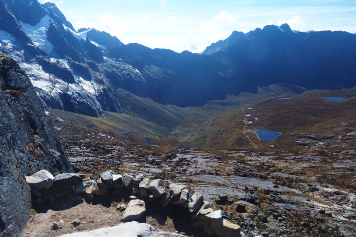
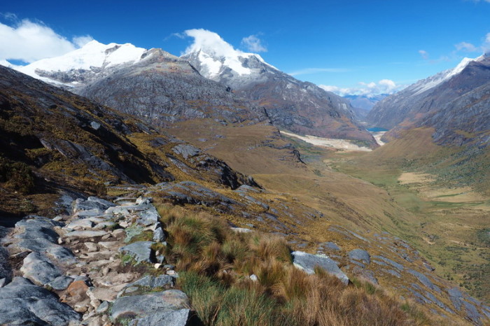
Views on the descent from Punta Union – pretty spectacular!
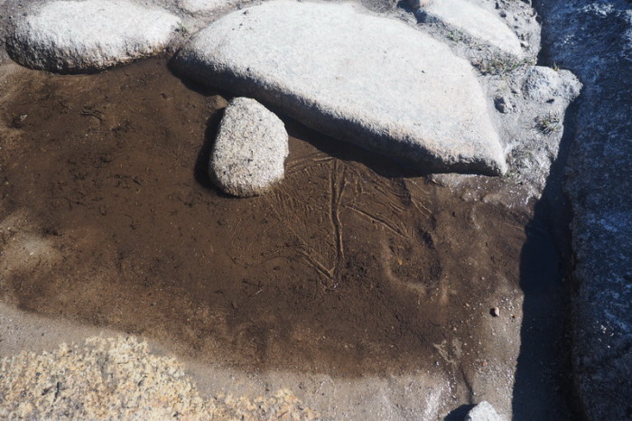
The puddles of water froze overnight!
Lovely Laguna Taullicocha in sunshine
Laguna Taullicocha – simply gorgeous in the sunshine!
Views on the descent from Punta Union – pretty spectacular!
Possible campsite overlooking Mount Taulliraju and Laguna Taullicocha
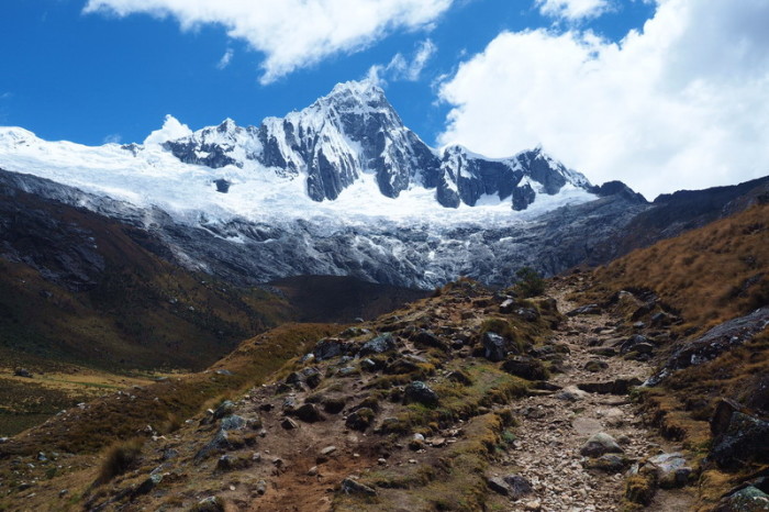
The magnificent Mount Taulliraju
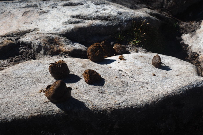
You have to watch where you step!
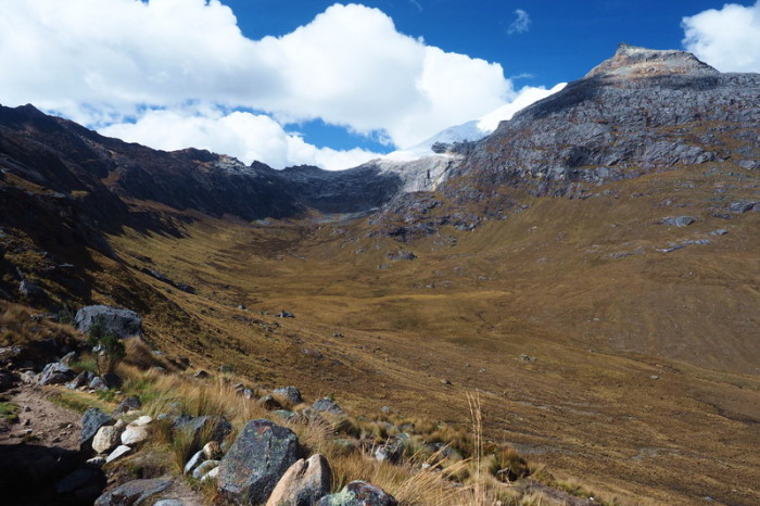
Sunny views on the descent from Punta Union on Day 3
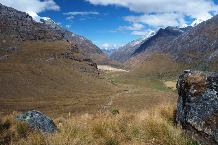
Sunny views on the descent from Punta Union on Day 3 – our campsite is visible in the distance
Sunny views on the descent from Punta Union on Day 3 – our campsite is visible in the distance
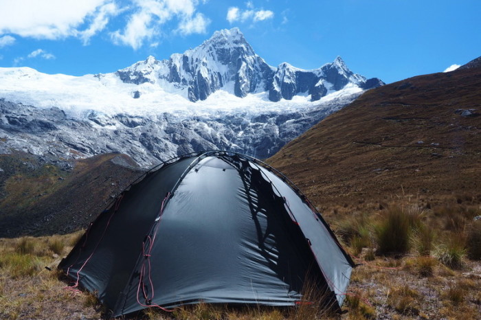
Our spectacular campsite with views of Mount Taulliraju – it doesn’t get much better than this!
Mount Taulliraju
Mount Taulliraju
Mount Taulliraju
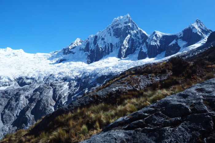
Day 3 of our trek brought sunshine and some gorgeous mountain vistas!
Day 3 of our trek brought sunshine and some gorgeous mountain vistas!
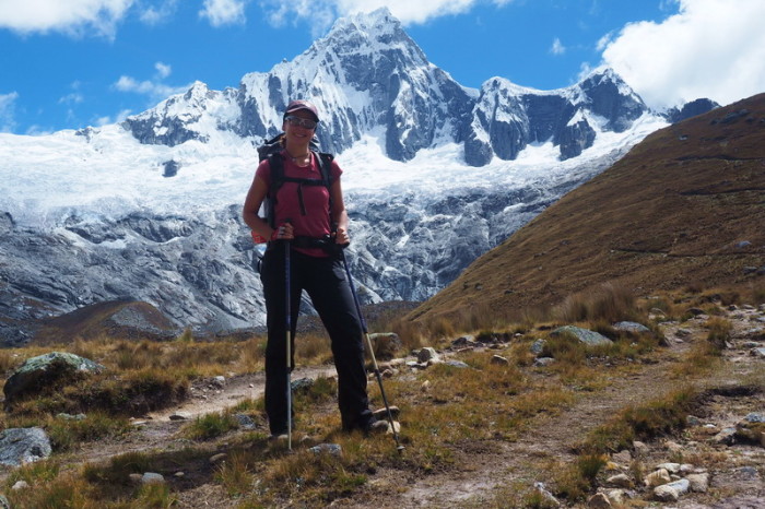
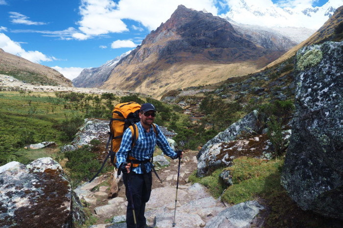
Enjoying the sunshine and lovely views on Day 3
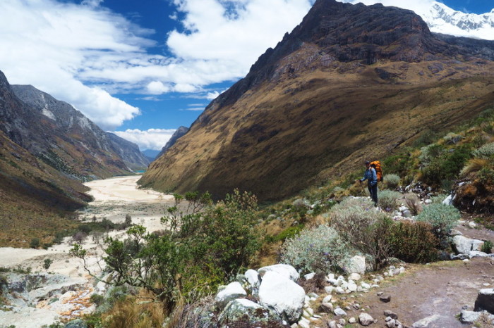
Day 3 of our trek brought sunshine and some gorgeous mountain and river vistas!
As always, the toilet facilities were in a terrible state
The official campsite, a 2 hour hike from Punta Union
The official campsite 2 hours from Punta Union was home to an array of horses and cows
The official campsite 2 hours from Punta Union was home to an array of horses and cows
Enjoying the sunshine and lovely views on Day 3
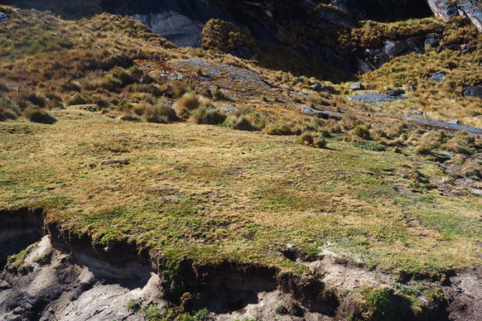
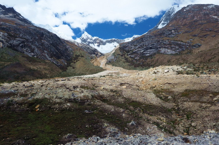
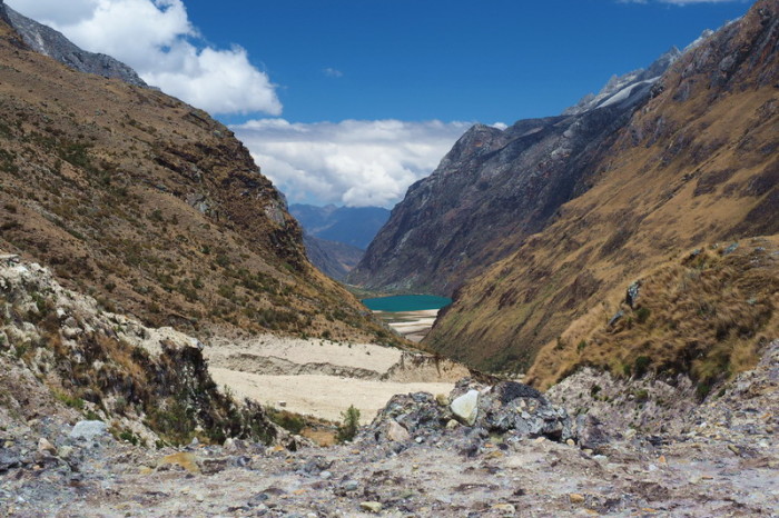
There appeared to have been a landslide in this area, possibly caused by one of the lagunas higher up
Stunning views on Day 3 of our Santa Cruz Trek
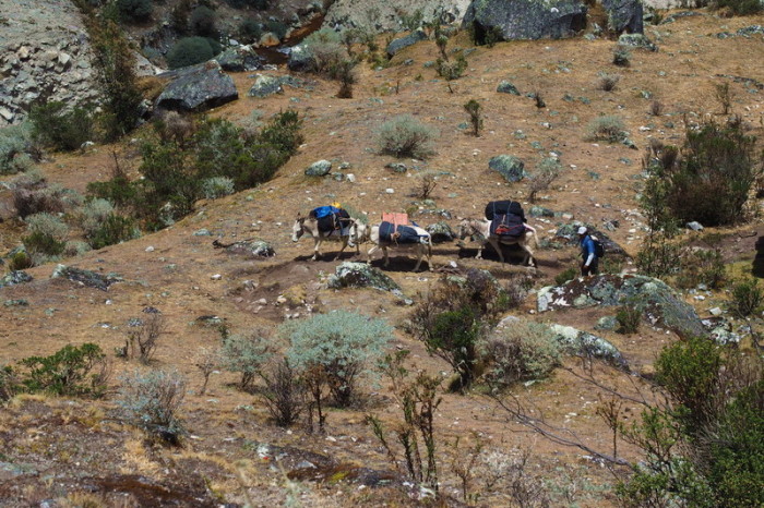
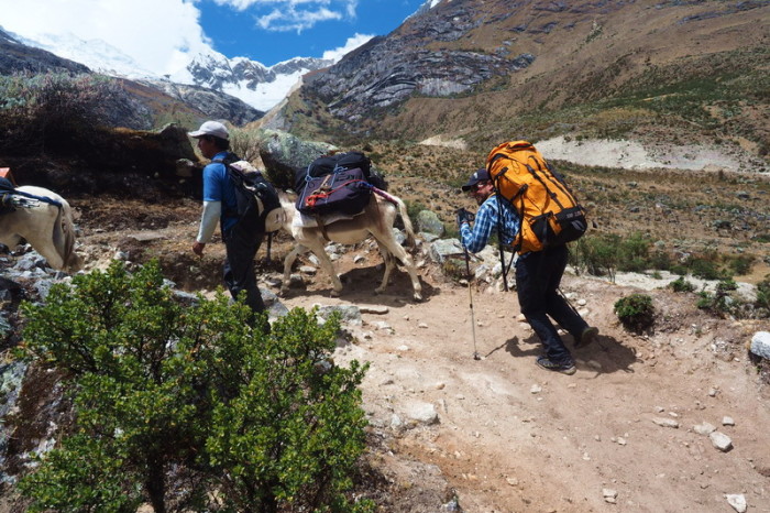
We stopped to watch these heavily laden donkeys make their way up the path
We stopped to watch these heavily laden donkeys make their way up the path
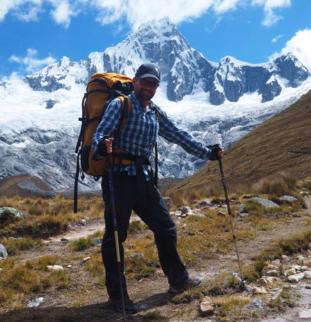
David’s backpack was so heavy, he felt like a donkey!
All morning we hiked towards the lovely Laguna Jatuncocha
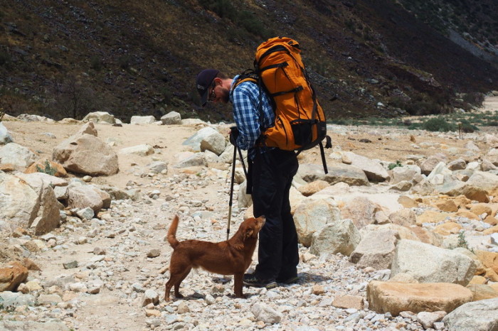
On Day 3 we met this cute trail dog, which was following one of the tour groups
On our way to Laguna Jatuncocha
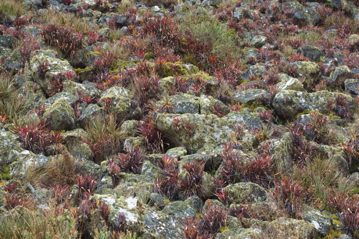
Bromeliads decorated the mountain side
On our way to Laguna Jatuncocha
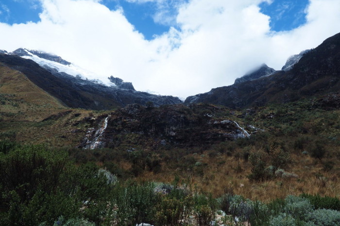
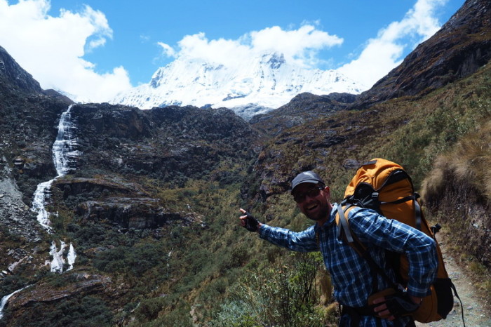
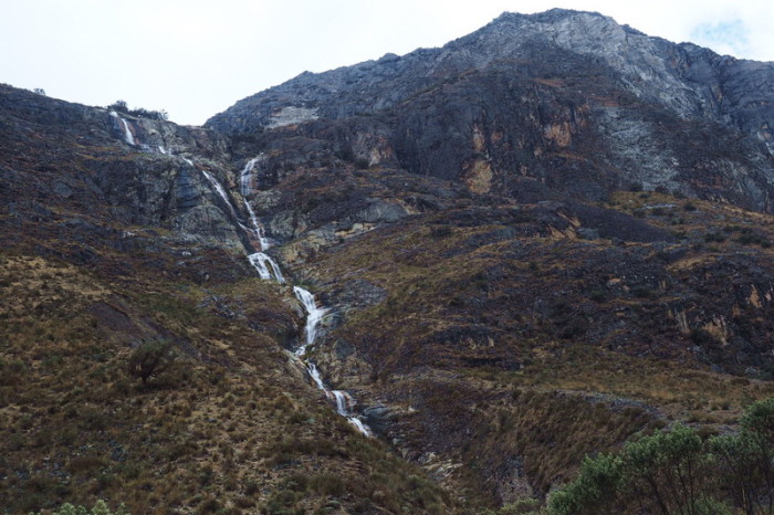
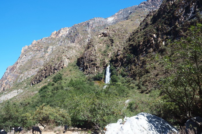
Lovely waterfall on the way to Laguna Jatuncocha
On our way to Laguna Jatuncocha
We stopped for lunch at Laguna Jatuncocha
We stopped for lunch at Laguna Jatuncocha
We stopped for lunch at Laguna Jatuncocha
After lunch, we passed into a wetlands area, favoured by the local donkeys and cows
On the way to the wetlands
This little guy was very curious and super cute!
This little guy was very curious and super cute!
What a cutie!
What a cutie!
After the wetlands, we eventually arrived at the Llamacorral Campsite.
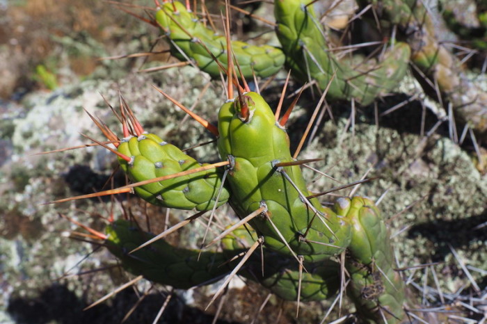
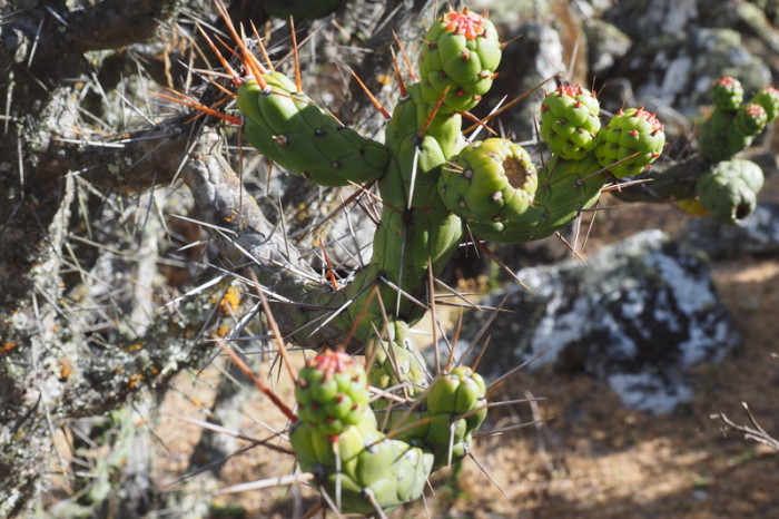
Cacti on the way to Cashapampa
Cacti on the way to Cashapampa
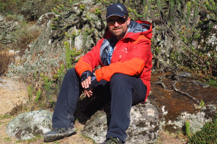
David taking a well-deserved break!
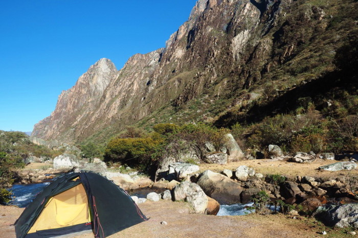
Our campsite by the river on Day 3
Our campsite on Day 3 of the Santa Cruz Trek
Our campsite by the river on Day 3
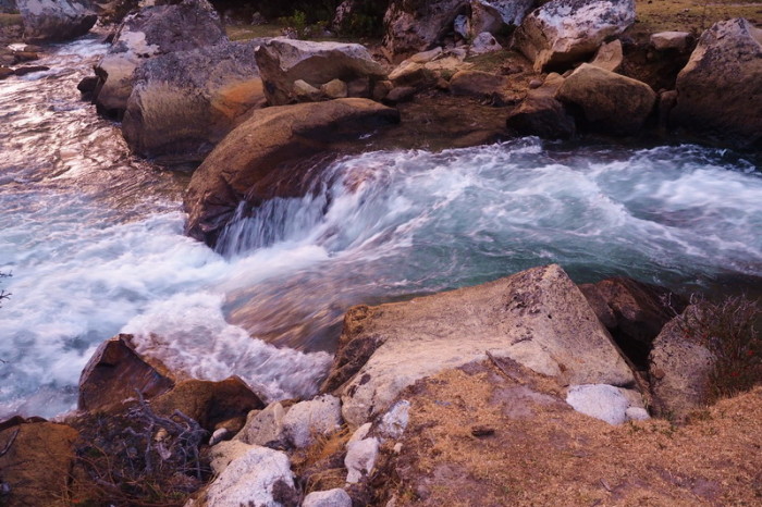
The lovely river beside our campsite
We had some unexpected guests for dinner on Day 3!
We had some unexpected guests for dinner on Day 3!
We had some unexpected guests for dinner on Day 3!
We had some unexpected guests for dinner on Day 3!
We had some unexpected guests for dinner on Day 3!
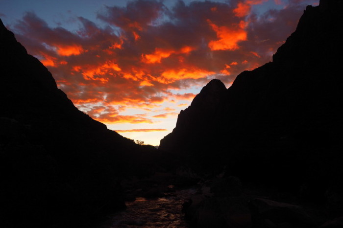
The awesome sunset on Day 3!
The awesome sunset on Day 3!
Day 5: Campground by river (7kms from Cashapampa) to Cashapampa
Day 5 was a short day, as we were only about 7kms from Cashapampa. We left our campsite around 8.30pm after a hot breakfast of 2 minute noodles! There were some annoying midges at this campsite, but nothing like the ones on our first morning on the Santa Cruz Trek.
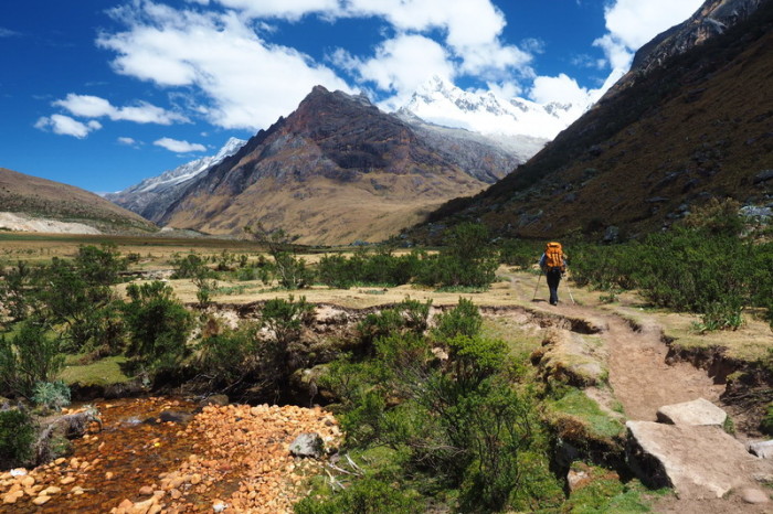
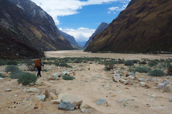
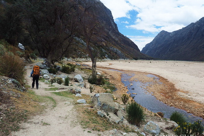
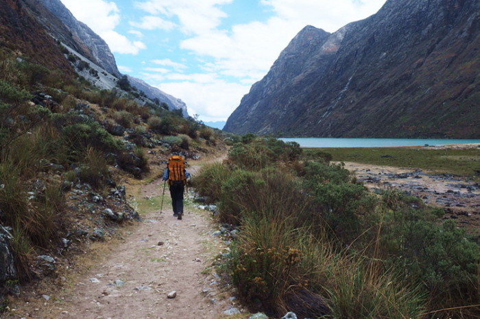
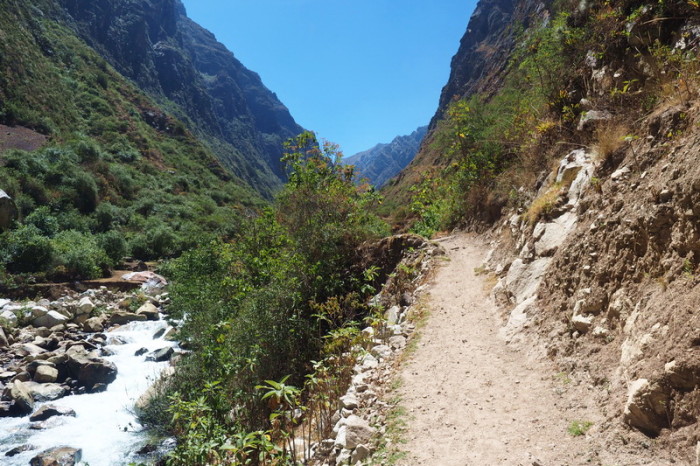
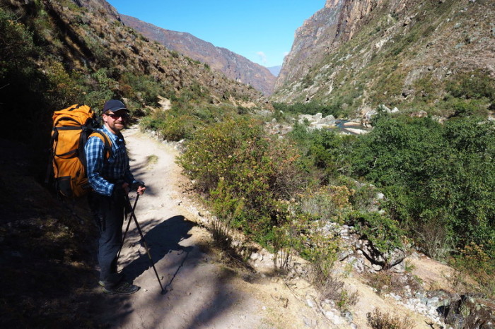
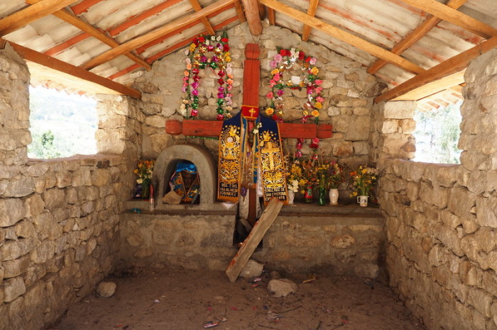
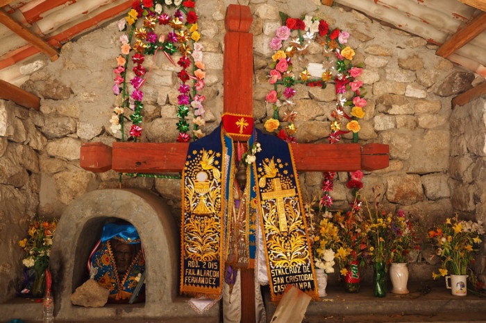
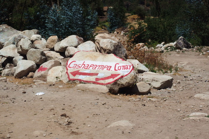
We hiked downhill alongside the river for almost the entire way to Cashapampa. The path was very rocky, but we made good progress and arrived in Cashapampa around 10.30am, with lots of photo breaks. We were surprised to see a beautiful shrine at the end of the trek – we couldn’t recall seeing anything near Vaqueria. There was also a sign reminding us to deregister from the hike, however we couldn’t work out where to do so. After paying a quick visit to the shrine, we followed the well-marked track towards Cashapampa.
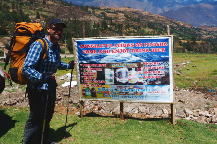
On the fringe of Cashapampa, we came across a “beer garden” of sorts. We contemplated having one, but it was a bit early for a beer and the prices were pretty steep. We had planned to continue onto the town to look for a collectivo, but the colectivo came to us! We paid 20 soles per person for the trip back to Caraz, plus an extra 5 soles per person when the colectivo driver was unable to find additional passengers for the ride back to Caraz.
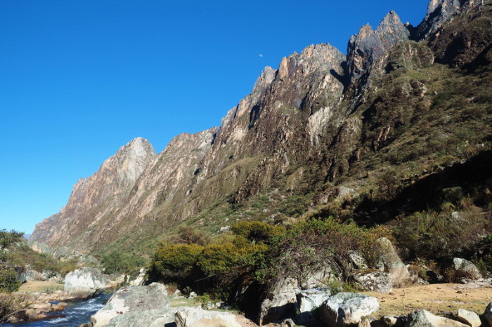
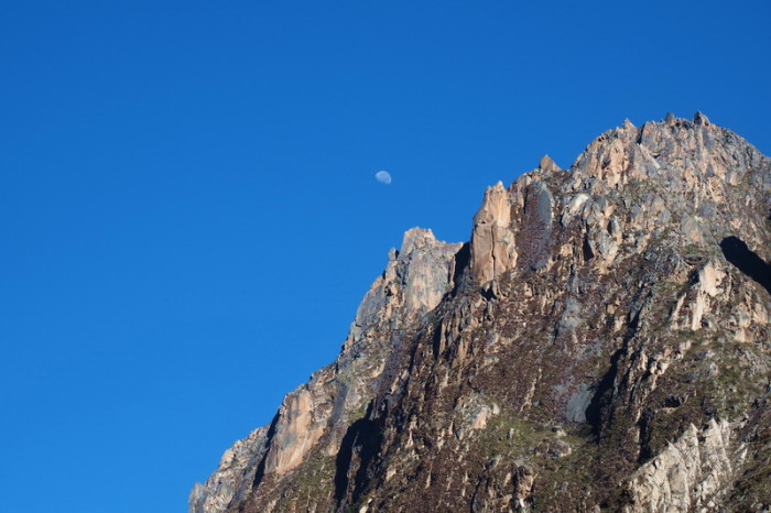
The moon was still visible above our campsite while we were having brekkie on Day 4
The moon was still visible above our campsite while we were having brekkie on Day 4
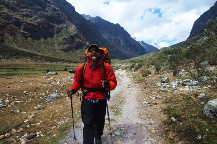
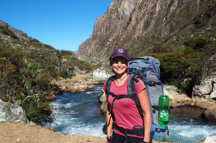
Jo ready to start hiking on Day 4 – only 7kms to go!
On our way to Cashapampa
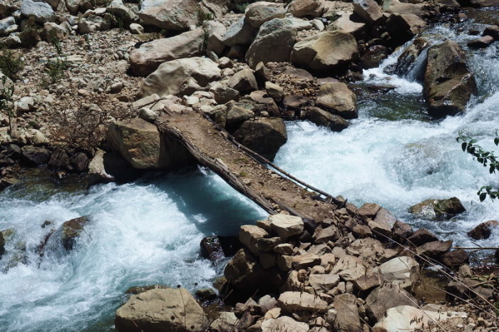
Little bridge on our way to Cashapampa
On our way to Cashapampa
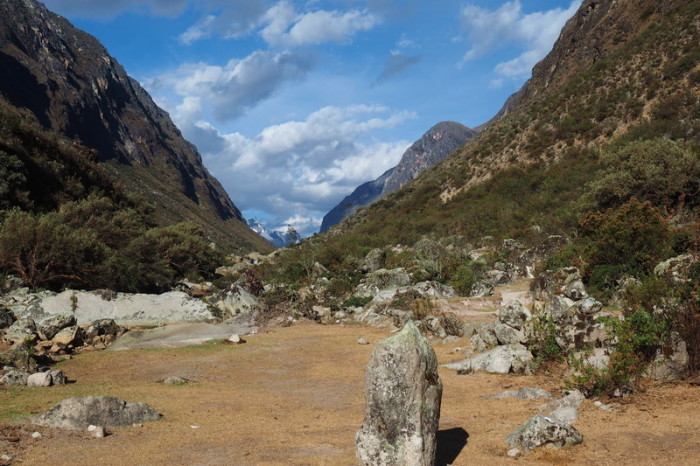
Views on our way to Cashapampa
On our way to Cashapampa
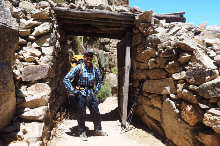
David and the huge door that we passed through towards the end of the trek
This lovely shrine marked the end of the trek
This lovely shrine marked the end of the trek
Almost at Cashapampa!
Some enterprising Peruvians have set up a pub at the end of the trek, but it was a bit early for a beer!
Recommendations:
In hindsight, if we were to hike both the Santa Cruz Trek and Laguna 69 again, we would start in Cashapampa and finish with Laguna 69, for the following reasons:
- In our opinion, if you are acclimatized, the Santa Cruz Trek (although longer), is actually easier than the hike up to Laguna 69. If you do Laguna 69 last you will have a lighter backpack and you can buy additional food and drinks as required in Vaqueria;
- After 11am it is a struggle to get a colectivo from Cebollapampa to Vaqueria, but there seemed to be a lot of colectivos coming in the other direction, so it is likely to be easier to get transport from Vaqueria to Cebollapampa than the other way around;
- We didn’t think the sign posting was better from Vaqueria to Cashapampa;
- We didn’t think the scenery was more spectacular when hiked from Vaqueria to Cashapampa, in fact, hiking towards to Mountain Taulliraju (near Punta Union) all day is pretty spectacular!
- Although, there may be less climbing if you start in Vaqueria, the uphill is very gentle for most of the way from Cashapampa and the ascent to Punta Union is probably easier from that side.
Other recommendations:
- Although the trail is pretty easy to follow, if you are hiking the trail independently, we recommend downloading maps.me onto your phone, which includes the Santa Cruz Trek.
- Also, if you plan to camp overlooking stunning Laguna Taullicocha, make sure you have enough water with you as there is no water source on the descent/ascent from Punta Union on the Santa Cruz Valley side.
- If you have time, definitely camp at Laguna 69, as the laguna is magical in the morning when you have it all to yourself!
- In addition to warm clothing, we highly recommend that you take:
- insect repellent;
- sunscreen; and
- hiking boots if you have them.
Costs:
In total, hiking Laguna 69 and the Santa Cruz Trek independently over 5 days cost us:
- Food: 60 soles (almost all purchased in the market at Caraz)
- Gas: 24 soles (we could have carried petrol, but gas was lighter and easier for hiking)
- Backpack hire: 100 soles (10 soles per backpack per day)
- Hiking pole hire: 100 soles (10 soles for 2 poles per day)
- Transport: 124 soles
- Park Passes: 130 soles
Total: 538 soles (US$167) for 2 people
This was a huge saving for us, as taking a tour for the Santa Cruz Trek would have cost a minimum of US$200 (plus park fees and rental equipment) per person and it would not have included Laguna 69.








Recent Comments