We didn’t fancy trying to cycle out of La Paz, so we took a bus to Oruro and started cycling towards Bolivia’s salt flats from there. We decided to cross both Salar de Coipasa and Salar de Uyuni. The cycling on this section was some of the easiest and some of the hardest cycling of our whole trip! I (Jo) celebrated my birthday on Salar de Coipasa on the hardest day – oh well, at least it was memorable! ![]()
Here is an overview of our journey from Oruro to San Juan, Bolivia. It is detailed for our own records, so feel free to skip ahead to the photos!
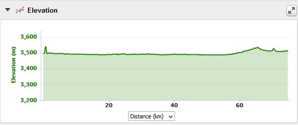
Friday 4 December: Oruro to wild camp 75kms from Oruro
After a couple of weeks off the bike, we were very excited to be starting the next stage of our trip and we were itching to get to the Salars (Bolivia’s salt flats)! We had hoped to get an early start, but we weren’t able to find any late night supermarkets the night before, so we needed to do some food shopping for our Salar crossing and change some money. We didn’t end up rolling out of our hotel in Oruro until around 12pm.
A note on Oruro: We weren’t particularly fond of Oruro and we found it crazily expensive. We had been hoping to stay at Hostal Graciela, but it was booked out. The man in reception directed us to some hotels downtown, which were apparently similarly priced, around the 60B mark. But, they were way out of our price range. We ended up staying at Hotel Repostero on Calle Sucre, where we got a double room for 150B, bargained down from 200B – the cheapest that we could find in that part of the city. Apparently the cheapest hostels/hotels are around the bus station.
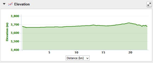
Oruro is a pretty flat city, with only one mountain. Unfortunately for us, when trying to get out of Oruro, Google maps directed us up and over this one mountain, when it would have been very easy for us to go around it! The hill was incredibly steep, and at 3800m we were huffing and puffing our way up. In the end we gave up, and pushed our way up the last few meters. Oh well. What goes up must come down and we enjoyed the downhill immensely! After this little “mountain crossing” the ride was mainly flat for the remainder of the day.
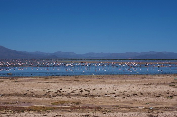
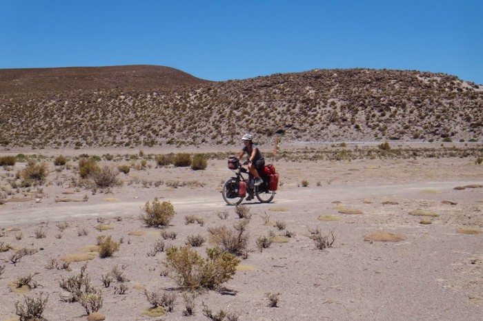
We passed Uru Uru Lake shortly after leaving Oruro. It was full of flamingos, which were not happy to have their photo taken close up. We enjoyed a brief tailwind on the way out of Oruro, but were soon joined by a seemingly never ending headwind. ![]() The scenery was flat, dry and pretty barren looking, with a few small villages dotted here and there.
The scenery was flat, dry and pretty barren looking, with a few small villages dotted here and there.
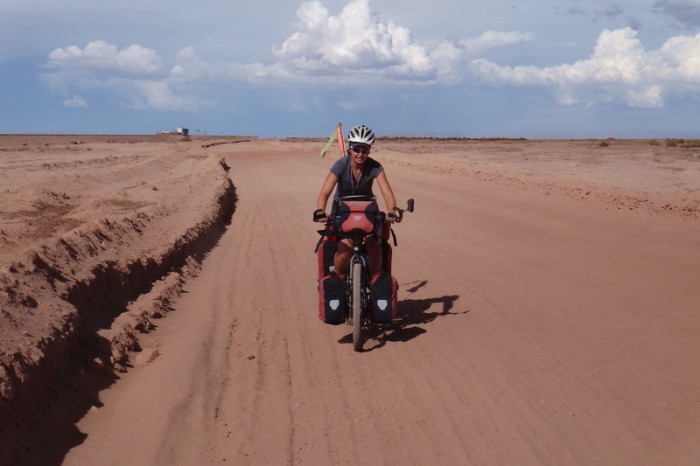
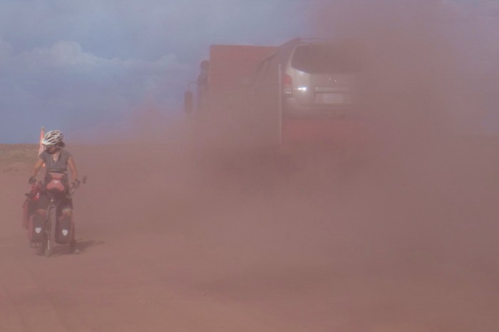
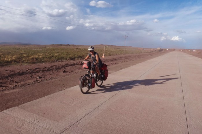
Around the 56km mark, the road changed from smooth concrete to dusty dirt. We had to stop frequently when trucks and cars passed as they created so much dust that we couldn’t see where we were riding! Alongside the dirt road was a brand spanking new road, which wasn’t open yet. After enduring a few kilometers on the dusty dirt road, we hopped onto the new one, which was wonderful until it ended.
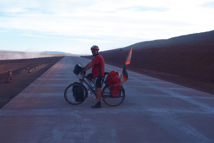
Then it was back on the dirt road again, with the trucks and dust. The new road was still under construction in this section and a small army of workers and machinery were busily working on it. We looked at it wistfully, but assumed we would get in trouble if we tried to cycle on it. Around 5pm, some construction workers took pity on us and let us cycle on the new road, as they were finishing up for the day. The road was compacted smooth dirt and hadn’t been concreted, but it was 100 times better than the dusty old dirt road with the traffic and eventually, it became concrete again – yeah!
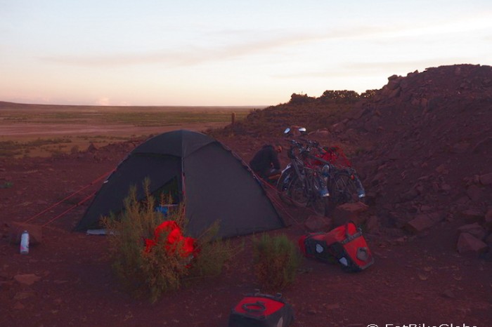
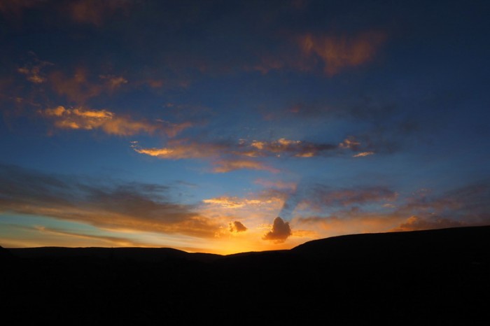
Around 6pm we passed a beautiful lake – mostly dry, with grass growing on it. We found a campsite overlooking it, which was a wonderful sight – especially at sunset. The sun sets much later here than in Peru – after 7pm – and we were enjoying the longer days.
David cooked us a yummy tuna pasta, which we ate by starlight. The stars are ridiculously beautiful here. I even saw a falling star – how magic!
KMs travelled: 75kms
Our ride started with a climb up the only hill in Oruro!
David at the top of the climb, Oruro
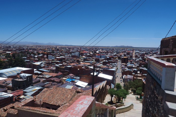
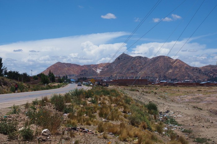
Views of Oruro
Lagu Uru Uru with flamingos, near Oruro
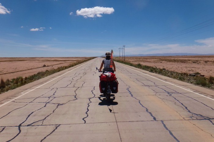
Enjoying some flat roads near Oruro
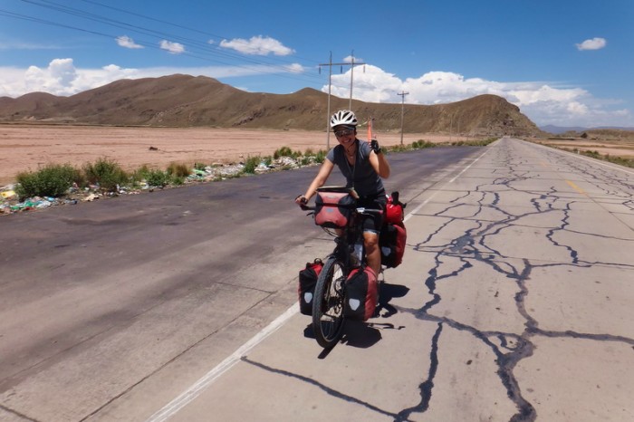
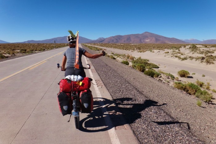
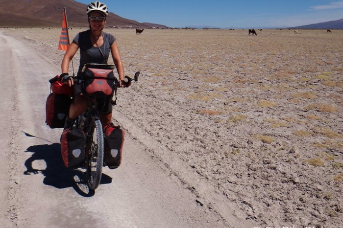
Jo on the way to Sabaya
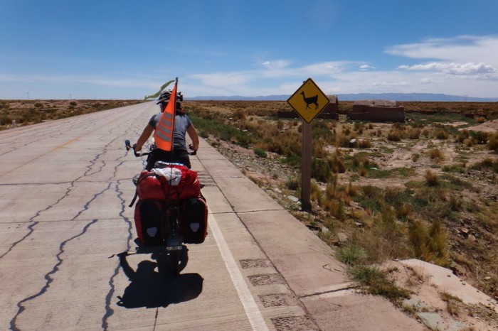
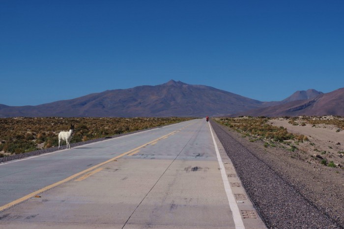
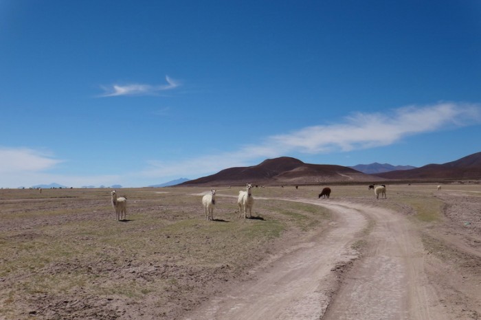
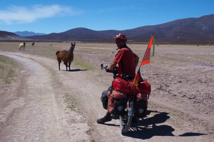
Llamas ahead!
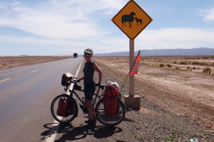
Sheep ahead!
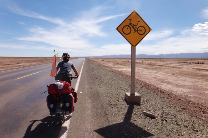
Bikes ahead!
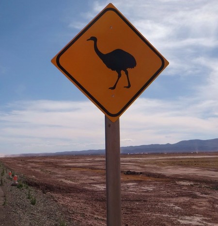
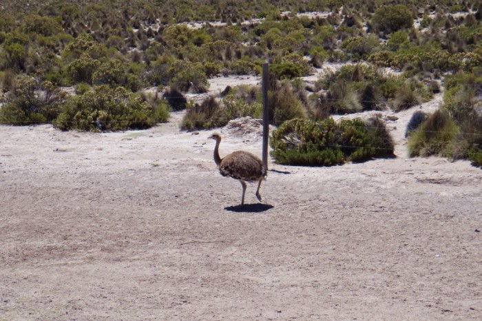
Emus ahead?! This isn’t actually an emu (as we thought at first), but a “Rhea” – a flightless bird related to the emu and ostrich!
Jo on the very dusty road to Sabaya …
The trucks created huge clouds of dust – it was difficult to cycle
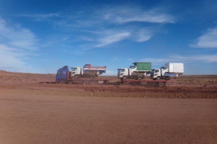
A truck, transporting trucks, with trucks!
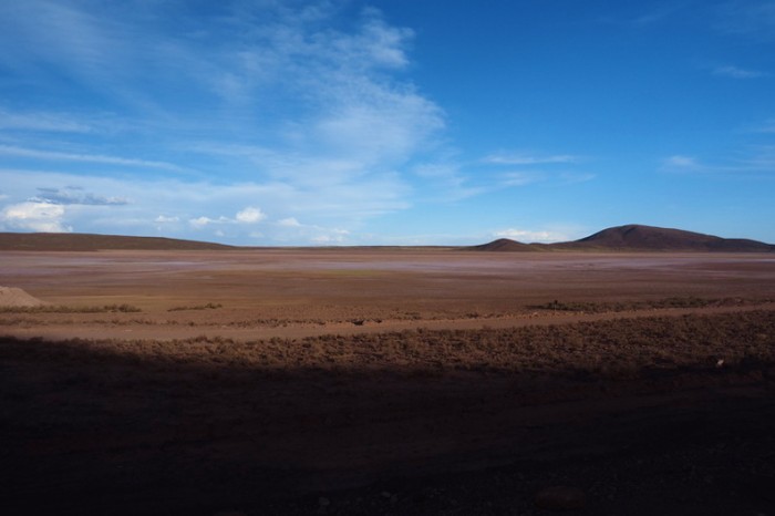
Views on our way to Sabaya
The kind workmen let us cycle on the new road to get away from the dirt road and the dust! It was wonderful!
The kind workmen let us cycle on the new road to get away from the dirt road and the dust! It was wonderful!
Our campsite on the first night on our way to Sabaya
Sunset from our first campsite on the way to Sabaya
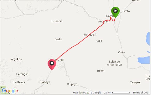
Saturday 5 December: Wild camp 75km from Ururo to Wild camp 15kms before Sabaya
We were up early and on the road before 8am. Unfortunately, the concrete on the new road ended shortly after we started cycling and the next 25kms were all on dirt. At some point we were forced to leave the new road and rejoin the old road. Thankfully, there was minimal traffic at this time of day, so it wasn’t too bad.
After 25kms or so we reached the town of Ancaravi, where we stocked up on water. The locals were very friendly and assured us that the road was all paved from Ancaravi to Sabaya – yeah! ![]()
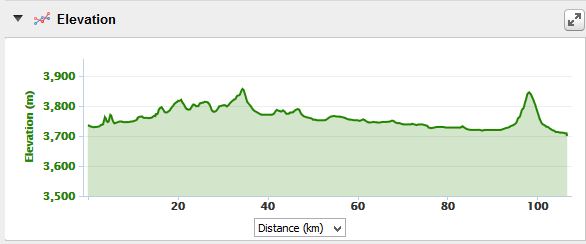
The scenery was quite beautiful on this day. It reminded us of a combination of Namibia and Alaska, with snowcapped mountains in the distance. The road was undulating, but we had an almost constant headwind, which slowed our progress.
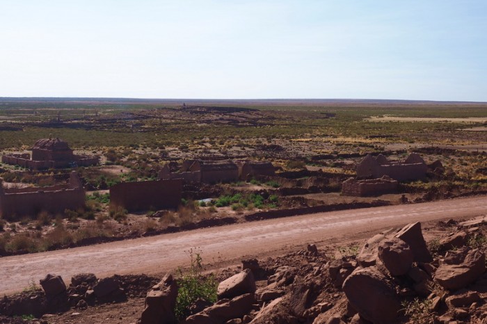
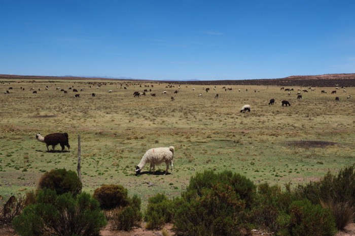
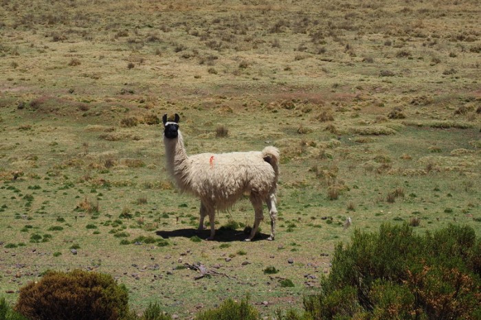
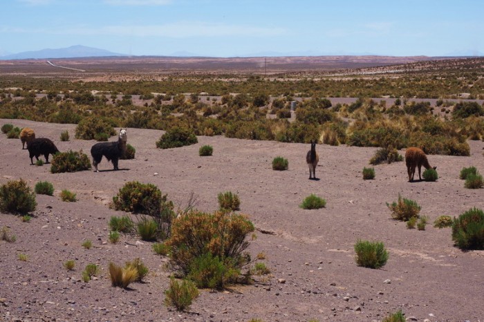
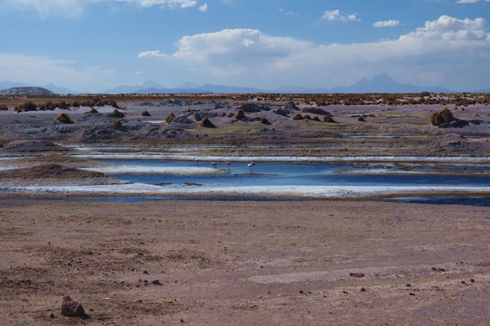
We saw lots of llamas, alpacas and a small rhea (like an emu or ostrich), as well as a flock of flamingos near the town of Huachacalla. We also passed a couple of apparently deserted villages.
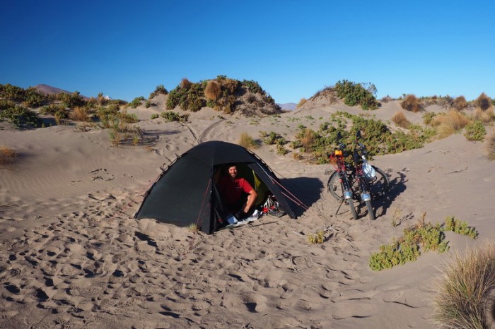
We stopped in Huachacalla for a coke and enquired about hotel options. I was pretty exhausted by this point, but the next hotel was in Sabaya, so we hit the road again. After the coke stop in Huachacalla, I started to feel a bit sick, so we ended up wild camping amongst some sand dunes, about 15kms from Sabaya. It was a great campsite and after seeing the hotel options in Sabaya, I think we made the right decision!
The stars were magnificent again on this night – they are certainly one of the joys of camping!
KMs travelled: 107kms
Views on the way to Ancaravi
Views on the way to Ancaravi
Jo on the new dirt road – yeah, no traffic!
Jo on the dirt road to Ancaravi
Views on the way to Ancaravi
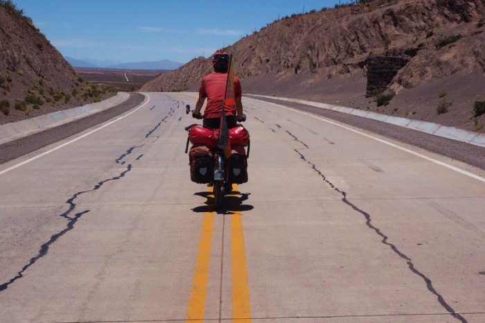
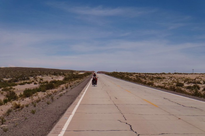
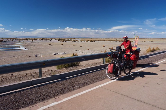
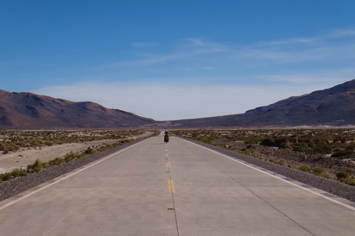
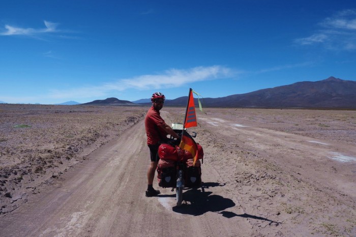
David on the way to Huachacalla … yeah – paved road!
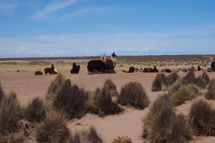
LLamas on the way to Huachacalla
LLamas on the way to Huachacalla
This section felt like a cross between Namibia and Alaska – with the snow capped mountains in the distance
Alpacas!
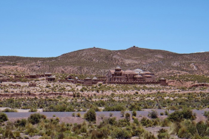
Lovely church on the way to Huachacalla
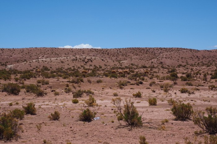
Vicunas on the way to Huachacalla
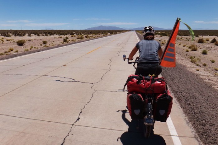
Jo on the road to Huachacalla … we had a constant headwind
Jo on the road to Huachacalla … we had a constant headwind
A Rhea … how cool!
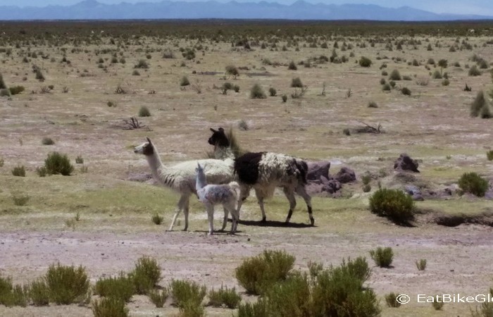
We spotted this little llama family on the way to Huachacalla
David on the way to Huachacalla
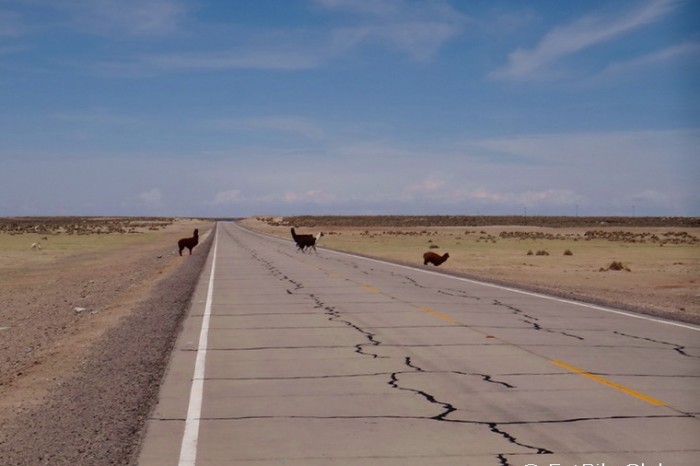
Alpaca crossing!
Herd of Alpacas
More alpacas crossing the road!
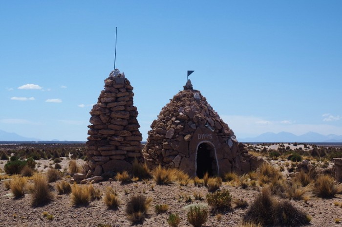
Interesting stone hut on the way to Huachacalla
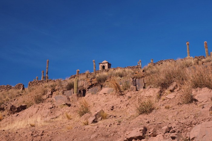
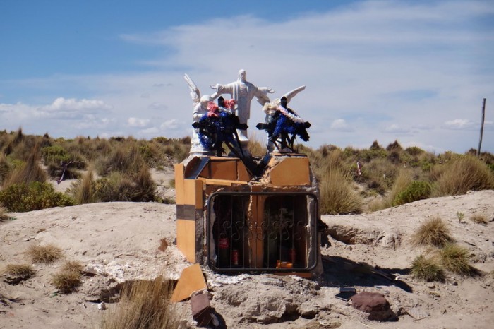
Little shrine on the way to Huachacalla
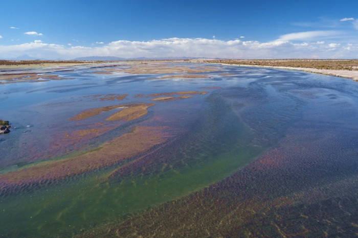
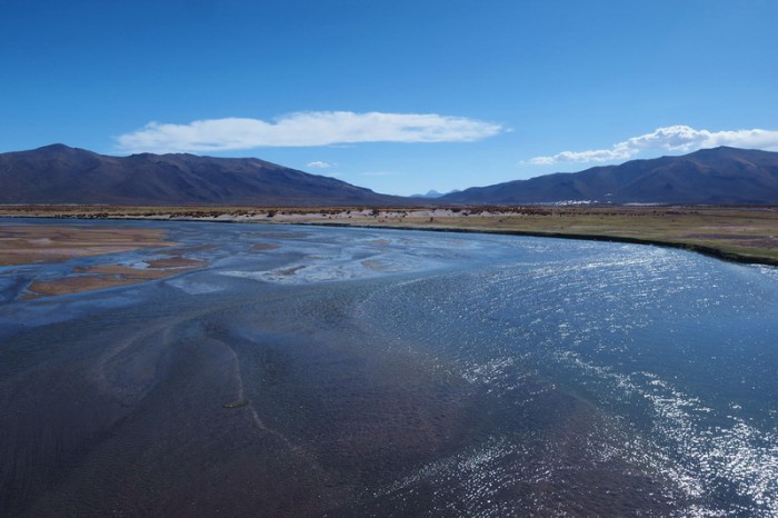
Lovely lake/river near Huachacalla
Lovely lake/river near Huachacalla
Lovely lake near Huachacalla
David and the lake near Huachacalla
We camped among some sand dunes about 15kms from Sabaya
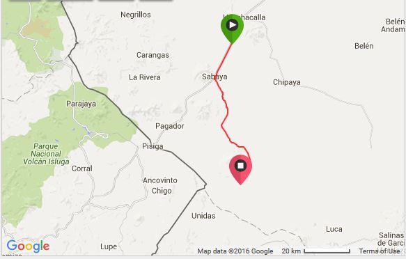
Sunday 6 December: Wild camp 15kms before Sabaya to Wild camp on Salar de Coipasa
We cycled the 15kms to Sabaya very easily, as there was no wind in the morning. Yeah! Sabaya wasn’t the prettiest town, so I was happy that we chose to camp in the sand dunes the night before. The townspeople were very friendly to us and urged us to visit their white church, as they said it was the most beautiful church in all of Bolivia! It was certainly lovely, but I’m not sure that it warrants that title! ![]()
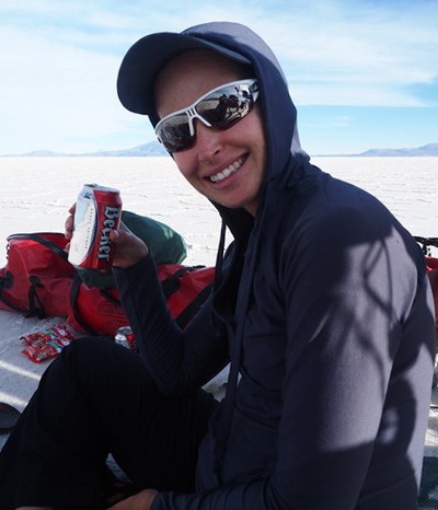
While in Sabaya, we stocked up on water for our crossing of Salar de Coipasa and in true German style, David also bought a couple of cans of beer for us to drink on the Salar that night “to drink into my birthday”, which is on the 7th December.
From Sabaya we did our best to follow “Andes by Bikes” instructions, although they were written for a crossing in the opposite direction and we hadn’t downloaded the GPS points. ![]()
From Sabaya we followed a pretty good dirt track – it was almost all ridable, except for a few sandy sections. We passed a couple of tiny villages and after 15kms, we found ourselves looking down on a village that we assume was Buen Retiro (although it wasn’t marked on our map or on our offline maps (maps.me)). We turned left here and headed towards the Salar de Coipasa.
From here things became interesting, as we weren’t sure whether the town of Coipasa was on the left or right hand side of Coipasa Island, as our hard copy map indicated that it was on the right side of the island (wrong!), while our electronic maps indicated that it was on the left. Thankfully we saw a jeep in the distance driving towards the left, which was the correct direction. The electronic maps were right!
We followed one of the “salt roads” heading towards the left hand side of Coipasa Island, which thankfully led us to a dirt track, which we followed to the town. Being a Sunday, Coipasa Village was dead. Andes by Bike indicate that there is accommodation here, but we didn’t see any signs for any hostals. All of the shops were closed, but a lady indicated that we could buy big bottles of water at the shop with a blue door on the town square. The elderly, almost blind, shop owner was delightful and was more than happy to open his shop for us – we bought the essentials – water and chocolate!
Although there is a cave on Coipasa Island where many cyclists camp, we wanted to camp for one night on the Salar. Thankfully, we remembered to take a rock from Coipasa Island as a hammer for our tent pegs!
Exiting Coipasa Island, we found a wonderful, smooth salt road which we assumed would take us to the other side of the Salar. We followed it for about 20kms, passing a little lake, and then decided to make camp.
There was hardly any traffic on the Salar. All afternoon, we only saw 1 jeep and 1 motorbike.
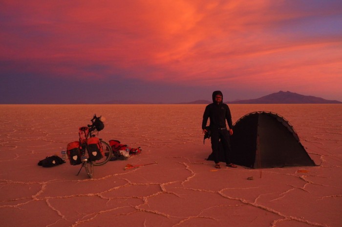
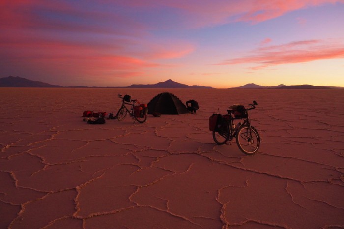
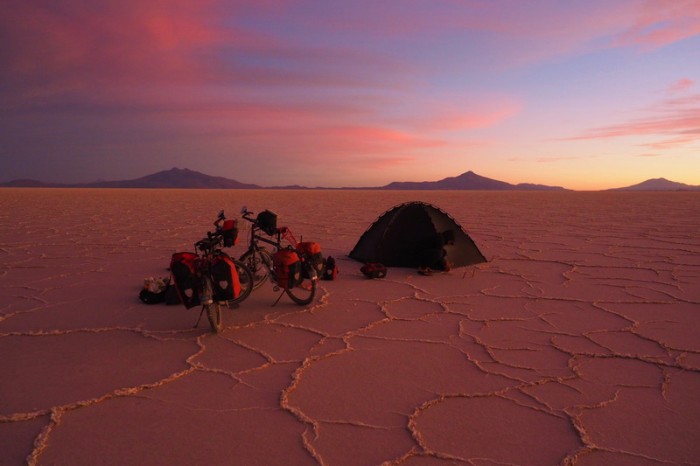
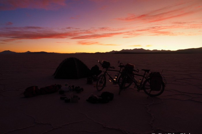
The winds were incredibly strong. We had to secure everything down otherwise it would have blown away. For safety, we decided to wait until sunset to put up the tent, so we had an early dinner and enjoyed my birthday beers! The sunset was truly spectacular, but setting up the tent in the strong wind, with no wind break was a real challenge. Thankfully, David had lots of practice with challenging conditions in Africa and we used it as a test run for Patagonia. It also helps to have a storm proof tent.
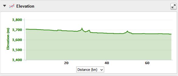
KMs travelled: 72kms
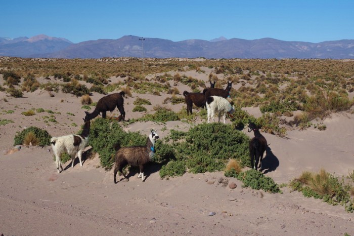
The sand dunes were popular with the local llamas
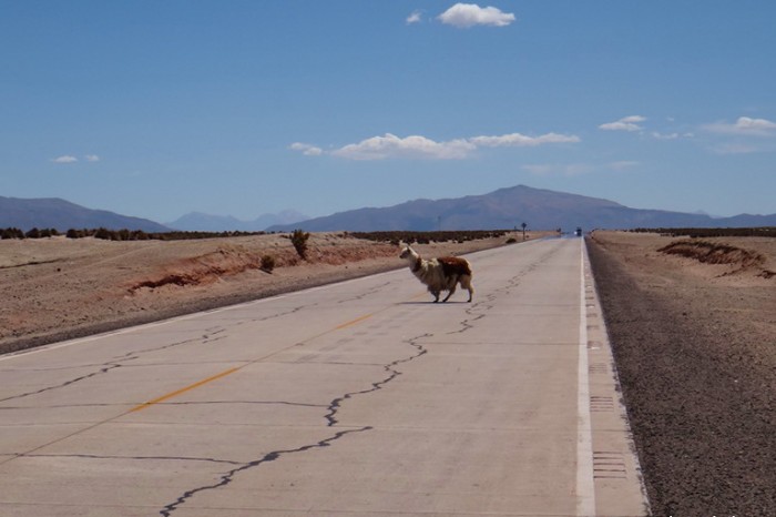
Llama crossing!
David’s setup
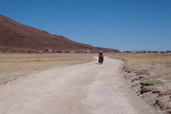
David on the final stretch to Sabaya
Jo on the final stretch to Sabaya
Jo on the final stretch to Sabaya
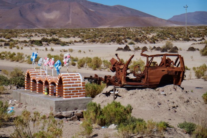
Road side shrine on the way to Sabaya
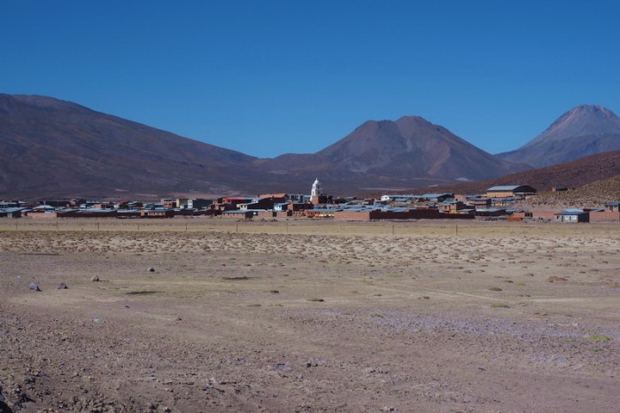
The little town of Sabaya in the distance
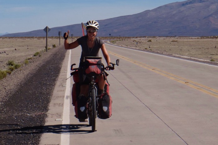
Yeah … we made it to Sabaya!
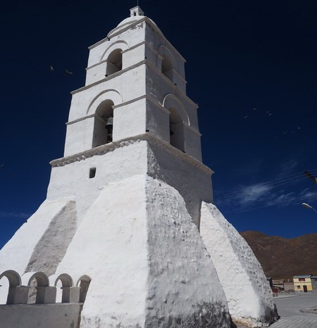
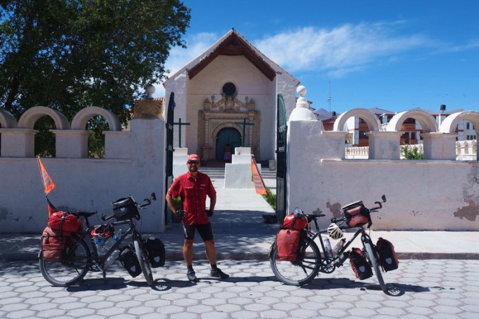
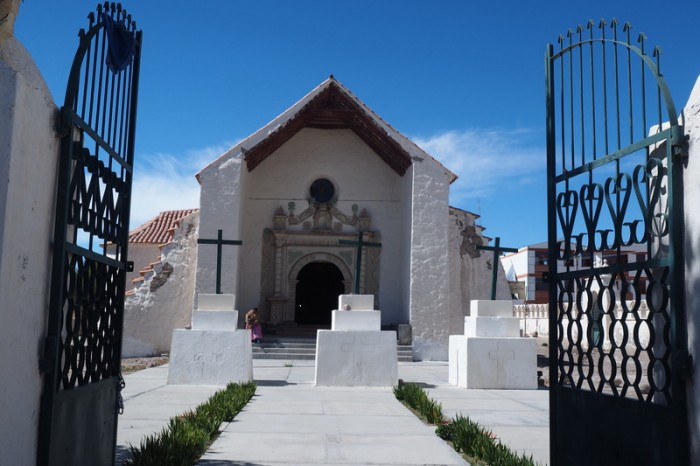
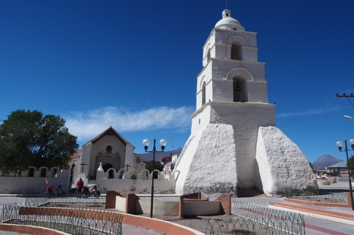
The lovely white church at Sabaya
The lovely white church at Sabaya
The lovely white church at Sabaya
The lovely white church at Sabaya
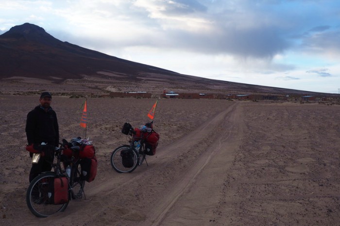
From Sabaya we took a little track towards the Salar de Coipasa
From Sabaya we took a little track towards the Salar de Coipasa
From Sabaya we took a little track towards the Salar de Coipasa
We met lots of llamas on our way to the Salar de Coipasa
We met lots of llamas on our way to the Salar de Coipasa
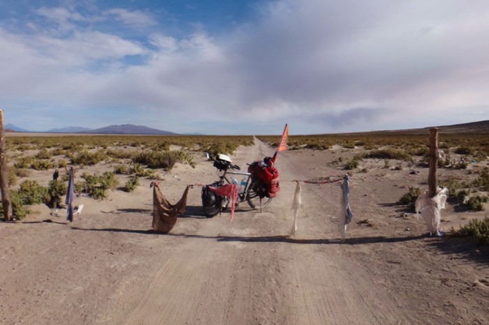
We stopped for photos at a decorated gate … we are almost at the Salar de Coipasa now!
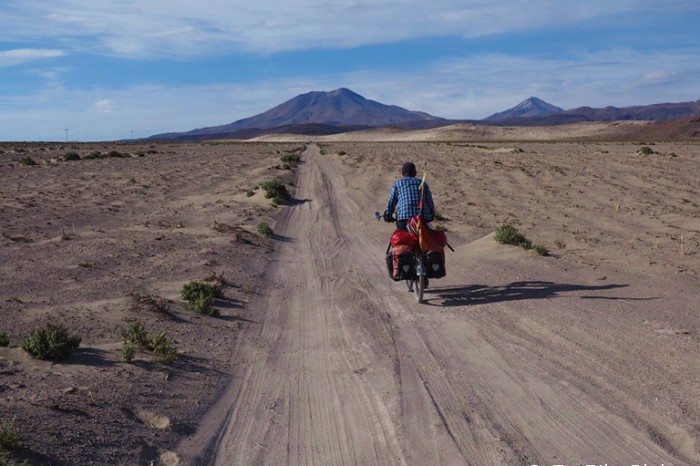
The road was generally ride-able from Sabaya to Salar de Coipasa
The road was generally ride-able from Sabaya to Salar de Coipasa
But this section was sandy … so we had to push!
We passed a couple of tiny towns on the way to Salar de Coipasa
The little village of Buen Retiro (we think!)
From Buen Retiro we turned left
Jo cycling past the little town of Buen Retiro
We made it to Salar de Coipasa … but which road to take now?
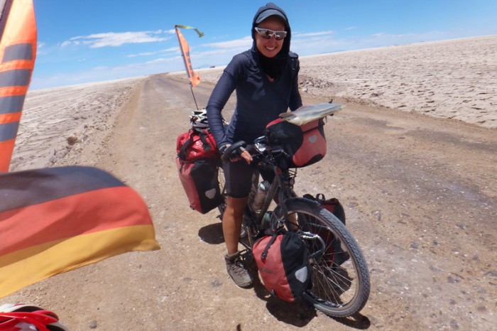
Jo crossing Salar de Coipasa
David crossing Salar de Coipasa
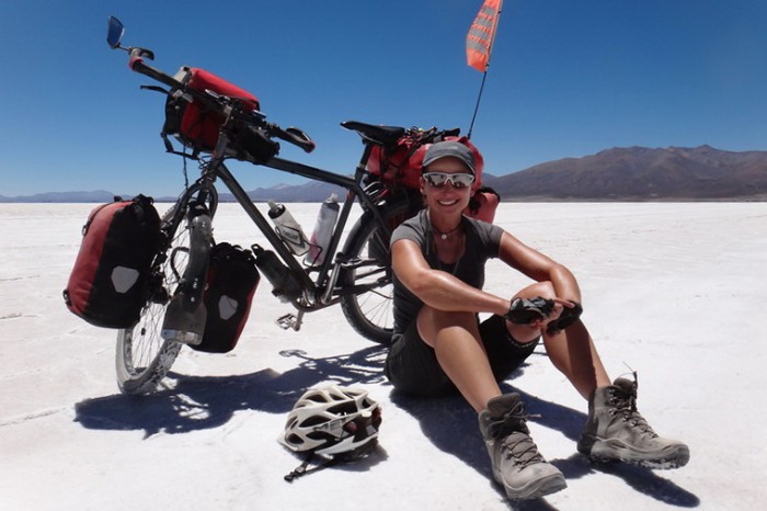
Jo taking a break on Salar de Coipasa
There was a lot of washboard and sand on the way to Coipasa Village
On our way to Coipasa Village
On our way to Coipasa Village
Coipasa Village
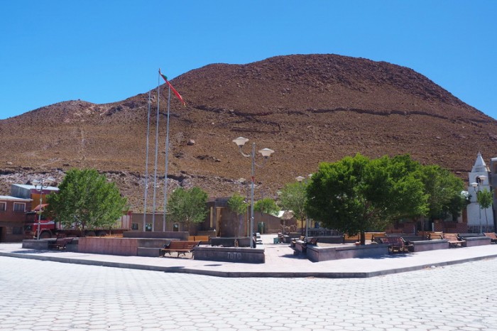
The main square of Coipasa Village
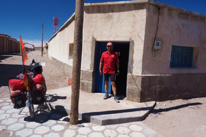
You can buy water here … the shop with the blue door on the main square of Coipasa Village
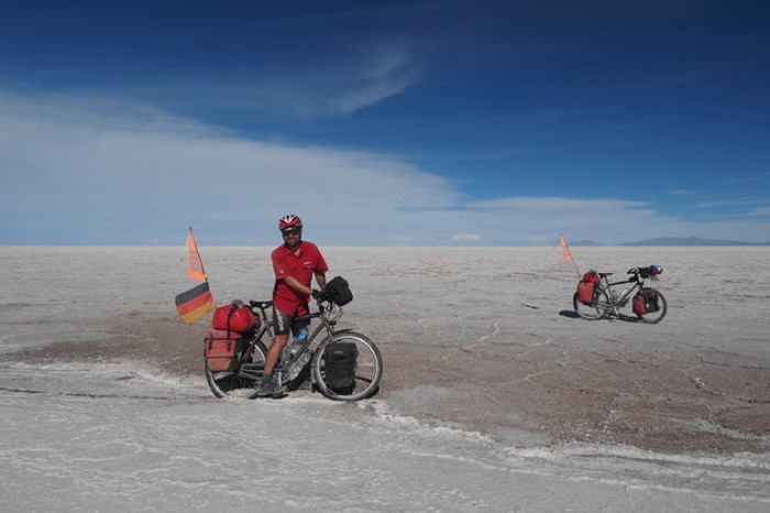
Weeee …. enjoying some flat cycling on Salar de Coipasa!
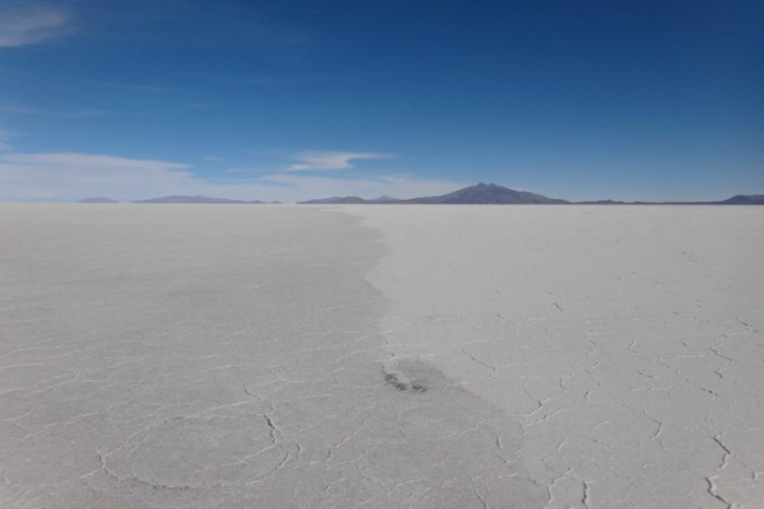
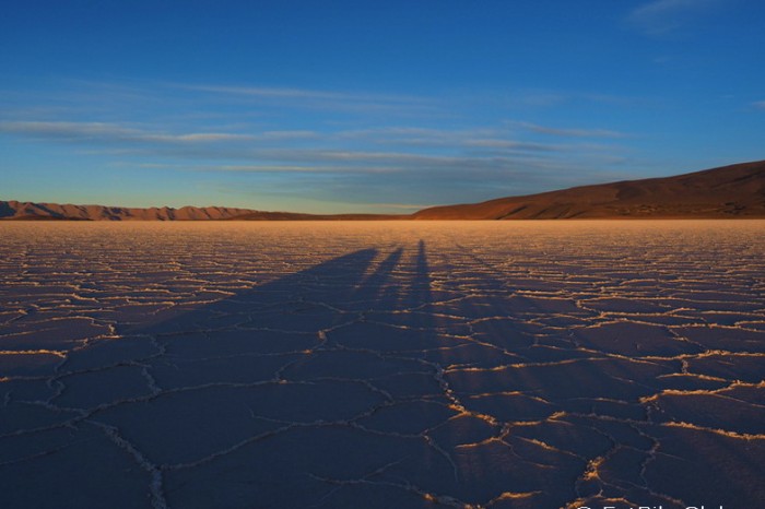
All white! Salar de Coipasa
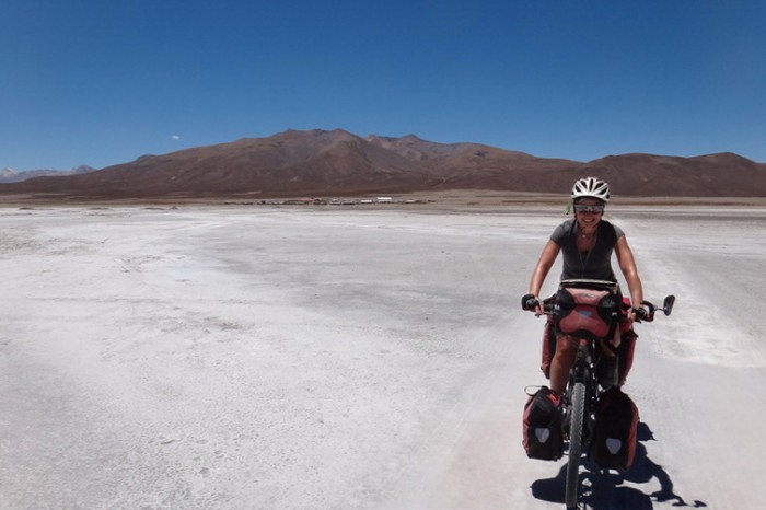
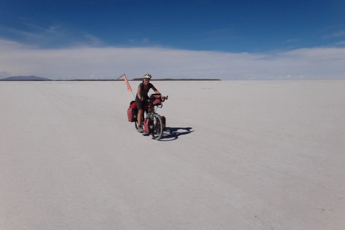
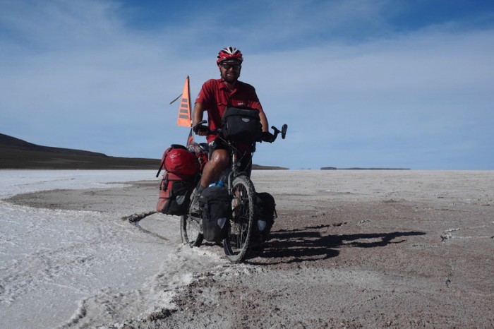
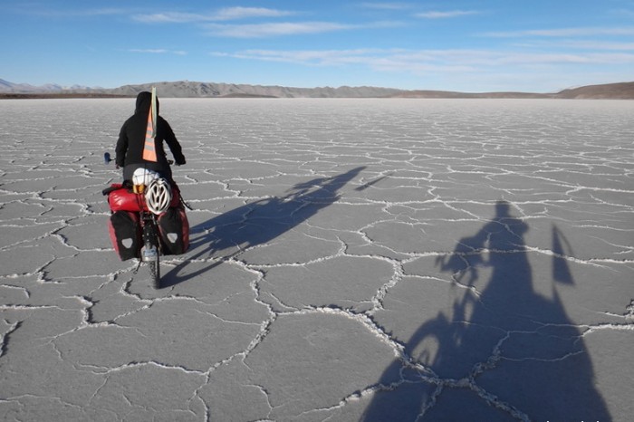
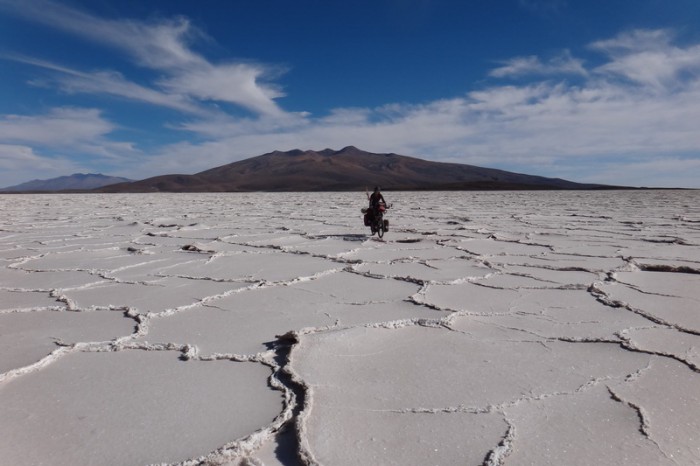
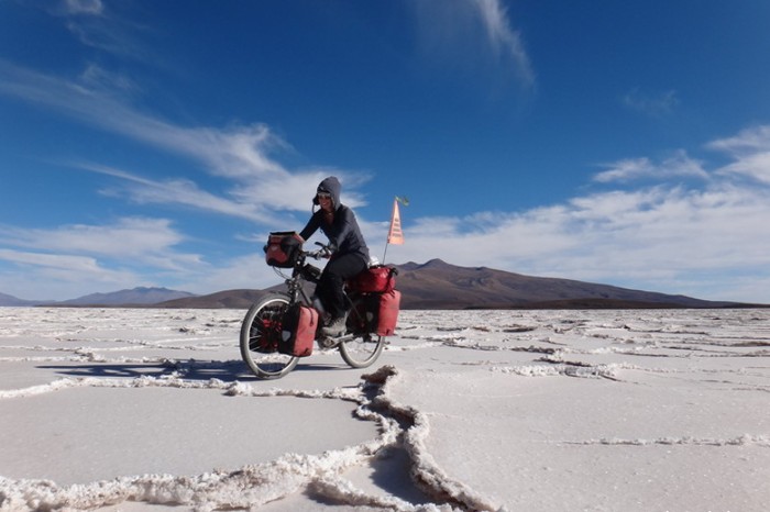
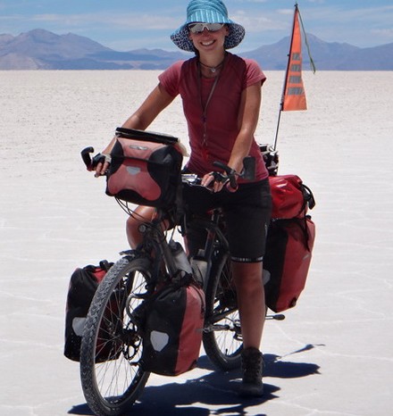
Jo on Salar de Coipasa
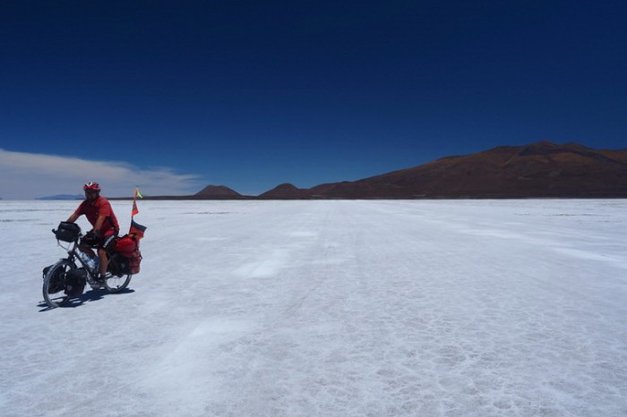
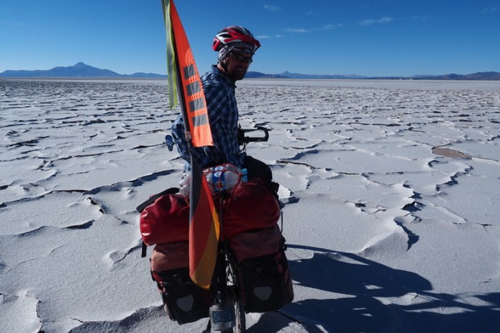
David having fun on the salt
David having fun on the salt, Salar de Coipasa
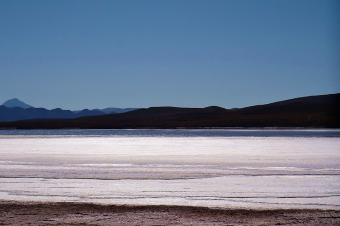
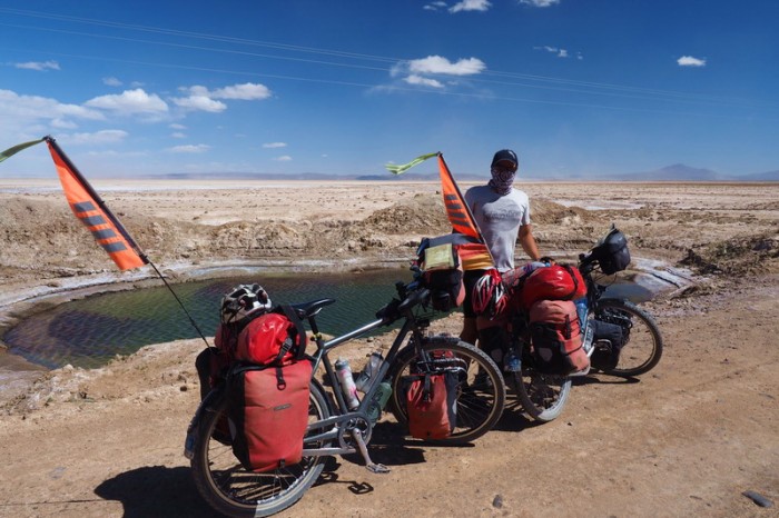
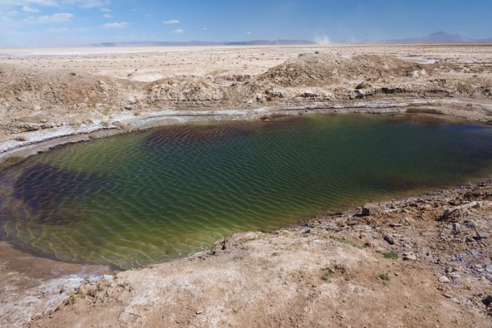
We found a lake on Salar de Coipasa
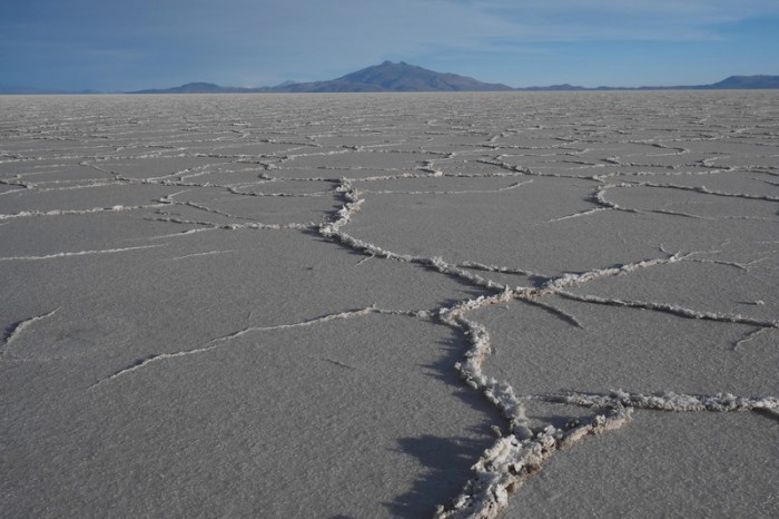
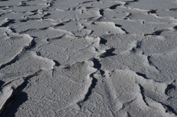
Not all the salt was pearly white on Salar de Coipasa
Not all the salt was pearly white on Salar de Coipasa
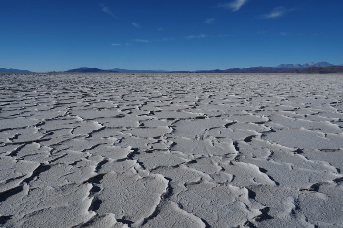
Salar de Coipasa
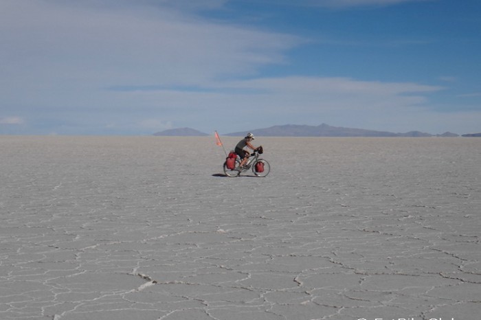
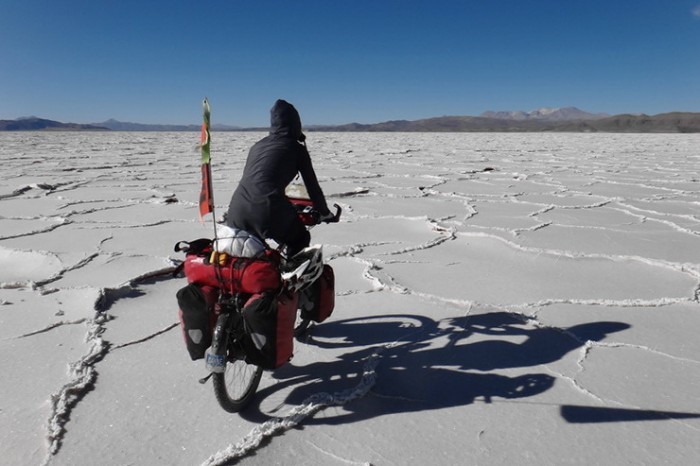
Jo cycling Salar de Coipasa
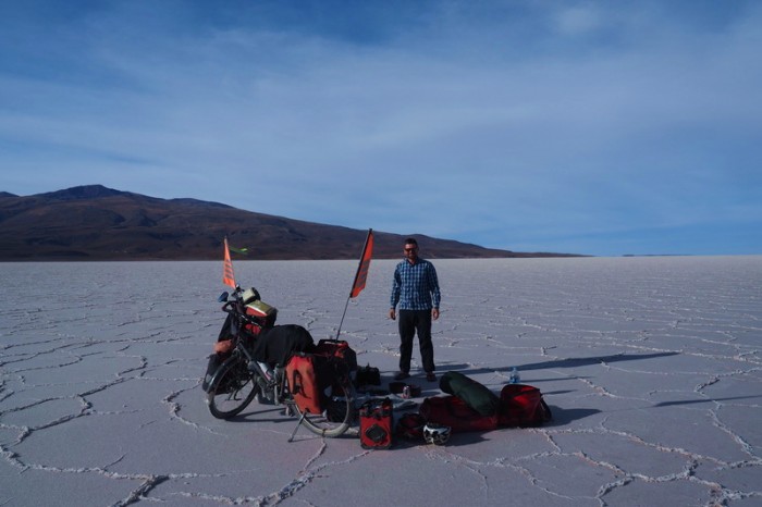
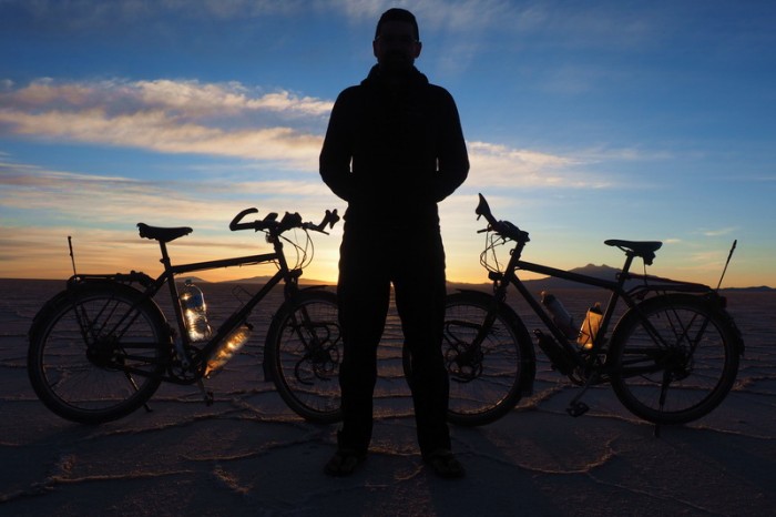
We decided to spend the night on the Salar de Coipasa!
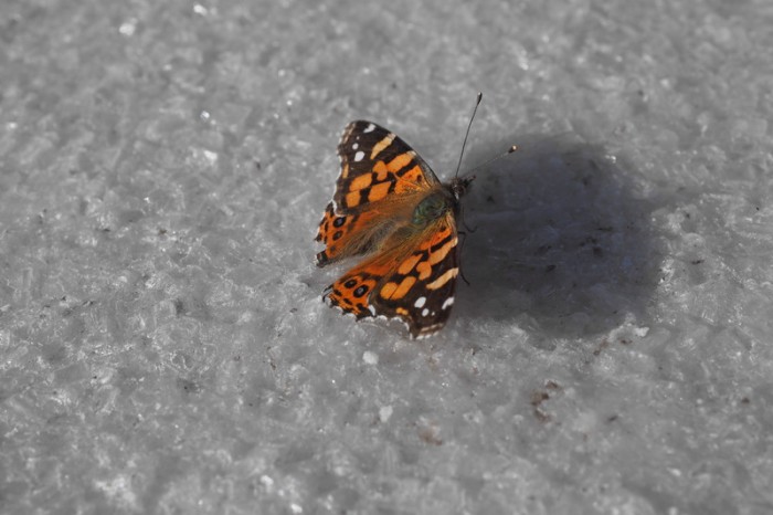
There were butterflies on the salar!
Jo enjoying a birthday beverage on the Salar de Coipasa
Salar de Coipasa
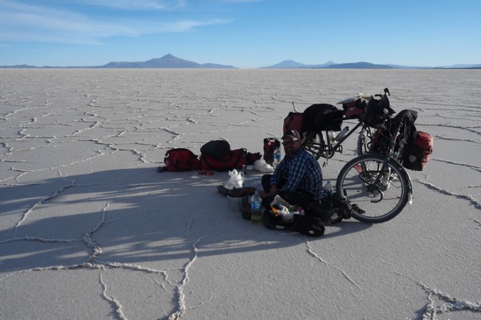
We had a picnic on the salt, waiting for nightfall before setting up our tent
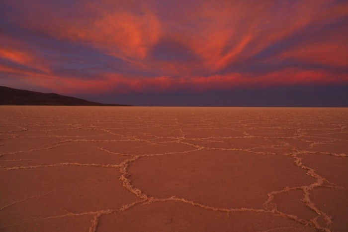
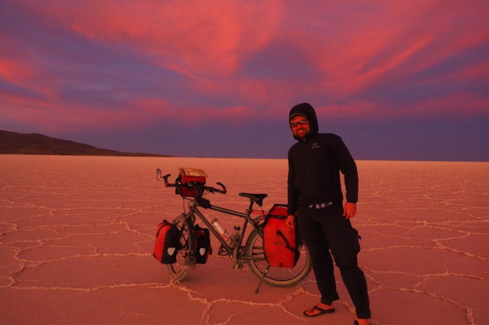
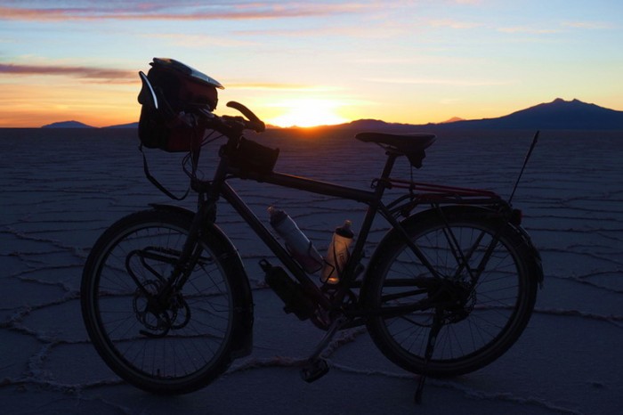
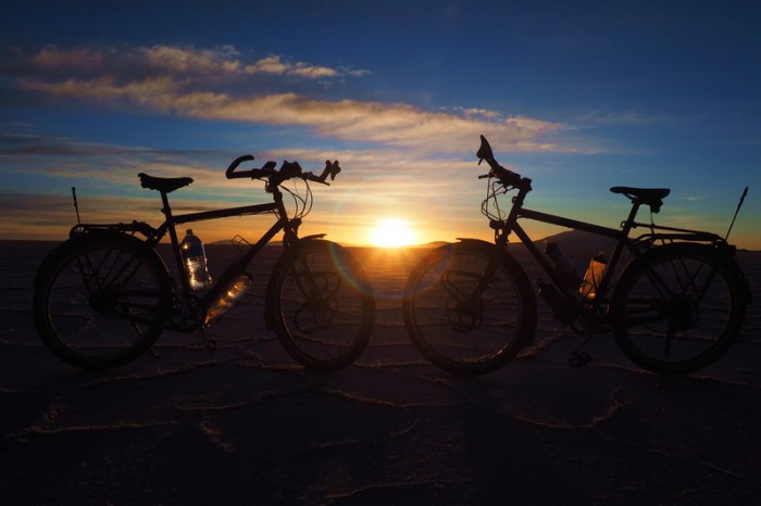
Amazing sunset, Salar de Coipasa
Amazing sunset, Salar de Coipasa
Amazing sunset, Salar de Coipasa
Amazing sunset, Salar de Coipasa
Amazing sunset, Salar de Coipasa
Amazing sunset, Salar de Coipasa
Amazing sunset, Salar de Coipasa
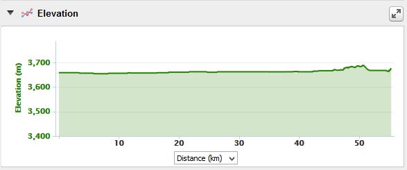
Monday 7th December: Wild camp on Salar de Coipasa to Villa Victoria
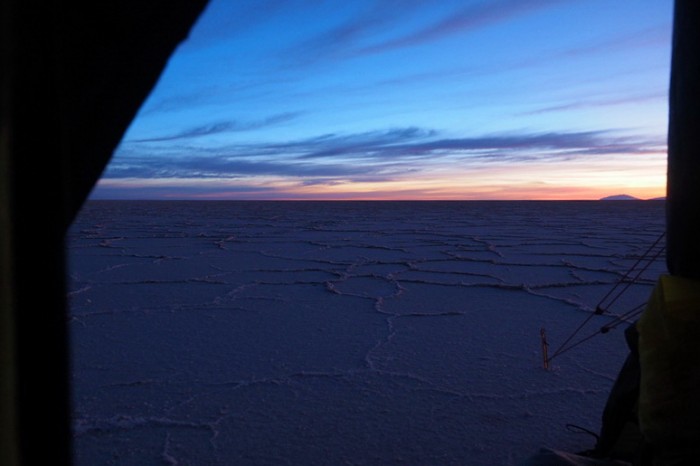
This was my birthday and unfortunately, it wasn’t quite the day that we had hoped for, although it did start nicely. We got up around 5.30am to photograph the sunrise, which was quite magical on the Salar. Things started to go downhill from here. ….!
We had hoped to reach the town of Llica on this day, which has hotels and restaurants. A passing motorbiker had pointed out the direction in which we should be heading, but after cycling in that direction for a couple of kilometers, the smooth salt road ended and we found ourselves stuck in untamed parts of the Salar that were quite challenging to cycle on, although not impossible. We pushed on through this inhospitable part for several more kilometers, before we reassessed and using maps.me, tried to make our way towards one of the other little villages (Tres Cruces and Villa Victoria), rather than head straight towards Llica.
This was incredibly exhausting. Definitely download Andes by Bike’s GPS points if you plan to cycle through the Salar de Coipasa, as cycling “off road” on the Salar as we did was not fun. In total, we probably spent an additional 30kms or so unnecessarily on the Salar.
Nearing the “shore” we started to see the tracks of other cyclists, which we followed. When we finally reached the actual “shore”, we were incredibly relieved, thinking that our ordeal would soon be over. But, our relief soon vanished when we discovered that the “road” was full of deep sand and was completely un-ridable, except for the odd meter here and there. We pushed our bikes for 3kms or so through the deep sand before we reached a tiny settlement. My shoulders were screaming in protest by this time and we were almost out of water, so we were grateful to meet some friendly locals who let us fill up our bottles from their tap. We complained about the terrible quality of the sandy road and they indicated that we should take a different road, closer to the Salar that was apparently in better condition.
This other road was an improvement, but by this time it was late afternoon and the strong winds were picking up. We cycled for a few kilometers more until we came across the town of Villa Victoria. We half cycled/half pushed our bikes to the town through more deep sand, hoping that we might be able to find someone who could drive us the remaining 24kms to Llica. Bizarrely, Villa Victoria was completely deserted! Street lights came on, but we couldn’t see a single light on in any of the homes. It was more than a little spooky! I suspect the townspeople were all in Llica as there was a festival on that day.
We were too tired, exhausted (and grumpy!) by this point to cycle any further. We found what appeared to be the town hall at the edge of the town and set up our tent in front of it. Outside of the local church we found a tap, so we were also able to get some more water. We didn’t have the energy to cook, so we made Nutella sandwiches and fell into our sleeping bags! Hopefully, my birthday will be better next year!
KMs travelled: 56kms
Sunrise, Salar de Coipasa
Sunrise, Salar de Coipasa
Sunrise, Salar de Coipasa
Sunrise, Salar de Coipasa
Sunrise, Salar de Coipasa
Sunrise, Salar de Coipasa
Cycling Salar de Coipasa
Cycling Salar de Coipasa
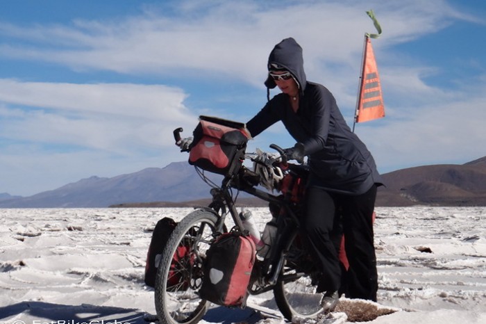
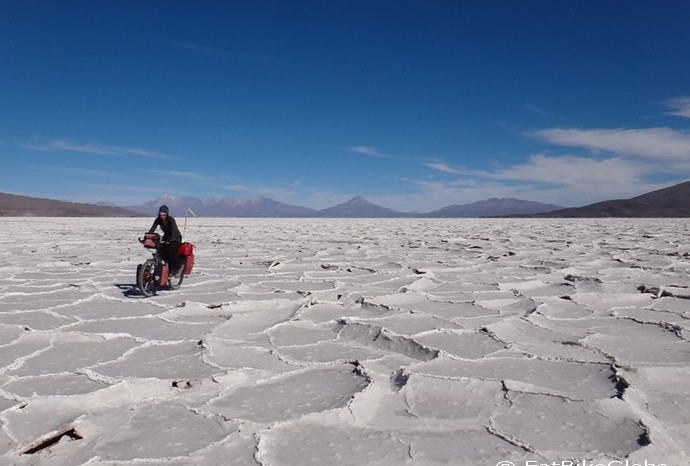
Cycling on Salar de Coipasa became very challenging …
Cycling on Salar de Coipasa became very challenging …
Cycling on Salar de Coipasa became very challenging …
Cycling Salar de Coipasa
Cycling Salar de Coipasa
Cycling Salar de Coipasa
Cycling on Salar de Coipasa became very challenging …
Cycling on Salar de Coipasa became very challenging …
Cycling on Salar de Coipasa became very challenging …
Cycling on Salar de Coipasa became very challenging …
Finally, we reach the shore! Yeah, no more salt!
Not a good sign for this cyclist …
No more salt, but LOTS of deep sand on the way to Llica
No more salt, but LOTS of deep sand on the way to Llica
No more salt, but LOTS of deep sand on the way to Llica
The first town that we reached after the Salar de Coipasa … we got water here
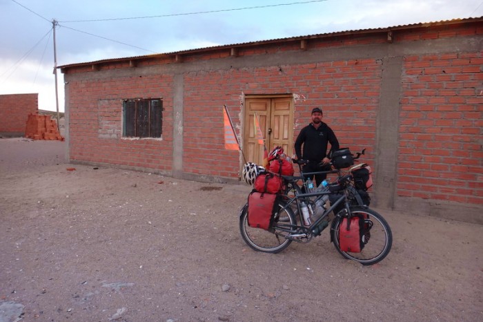
Hmmm … the town hall of Villa Victoria where we camped for the night for Jo’s birthday ….
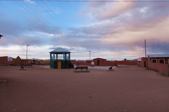
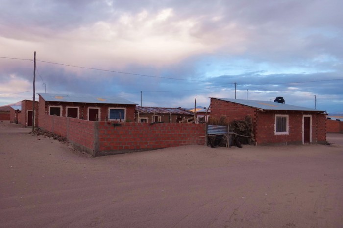
Villa Victoria was a ghost town
Villa Victoria was a ghost town
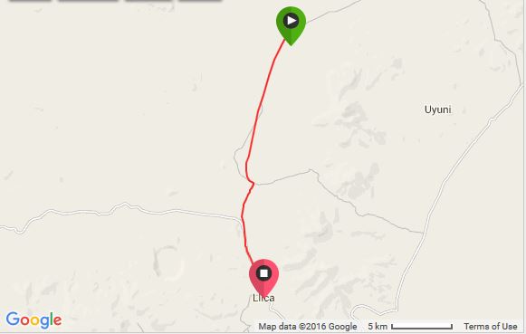
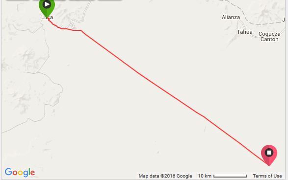
Tuesday 8th December: Villa Victoria to Llica
We were awakened before 5am by roosters crowing, so we got up early and were on the road by 6am. Villa Victoria still had an abandoned feel and we didn’t feel comfortable there.
Although the road was better than the day before, I still had to push a lot on the way to Llica. It was only 24kms, but it took us about 3.5 hours ….
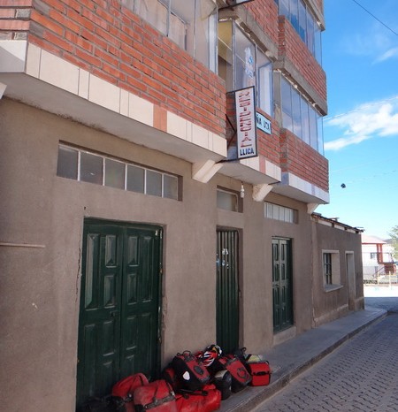
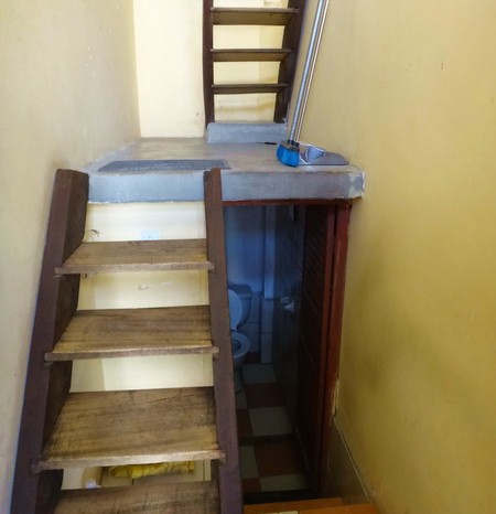
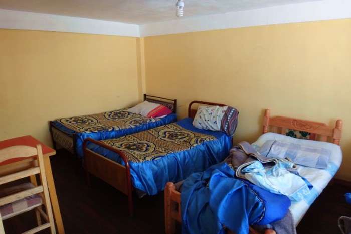
Llica is a sizable town. There was some kind of festival going on when we arrived; most of the young men were drunk and were a little too friendly! There are 3 hostals in town, but only one seemed to be open. We got a great room at Hostal Residencia for 70B (USD 10), with a shared bathroom. There is hot water at the hostal (if you arrive early enough) and you can cook inside. We hand washed our clothes (as there was no laundromat in Llica) and dried them on the roof of the hostal. It wasn’t possible to put our bikes in our room, as the stairs were impossibly narrow. But, we were able to store them in a locked storage room, which seemed secure with 2 massive padlocks.
Late afternoon we heard a knock on our door and were happily surprised to see our French fat bike friends, Vincent and Mylene. They were staying in the room opposite to us. Unfortunately, the hostal had run out of water by the time they arrived (hopefully it wasn’t our fault!). We went out for an average meal together and sat around chatting until the wee hours of the morning drinks beers and rum for my birthday. It was an awesome, spontaneously fun night!
KMs travelled: 24kms
Villa Victoria was a ghost town
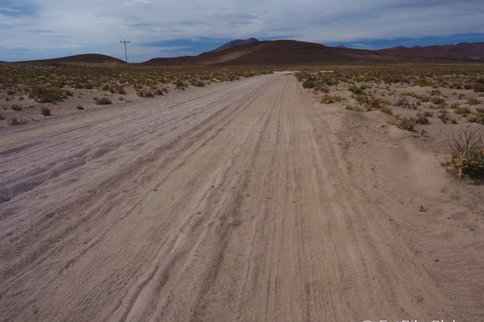
On the sandy road to Llica
On the sandy road to Llica
Views on the way to Llica
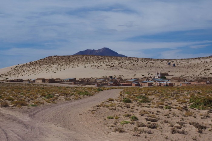
The village of Challacollo
On the sandy road to Llica
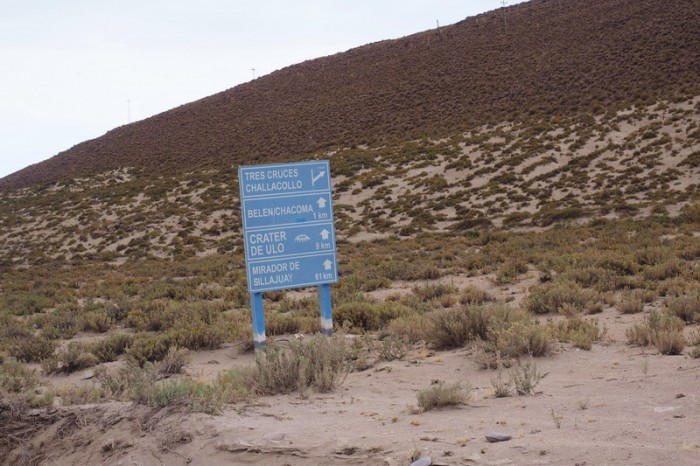
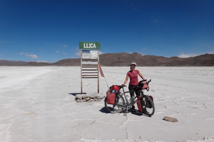
We knew we were on the right road when we saw this sign
Yeah … we made it to Llica. This is our hostal “Residencia”
The narrow stairs to our room at Hostal Residencia
Our room at Hostal Residencia – clean and big
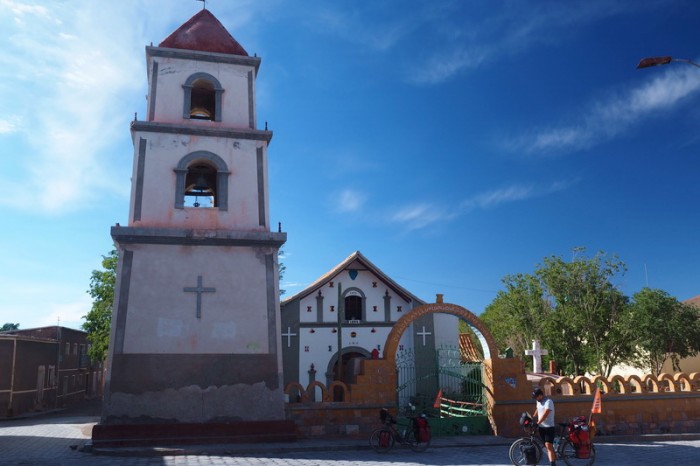
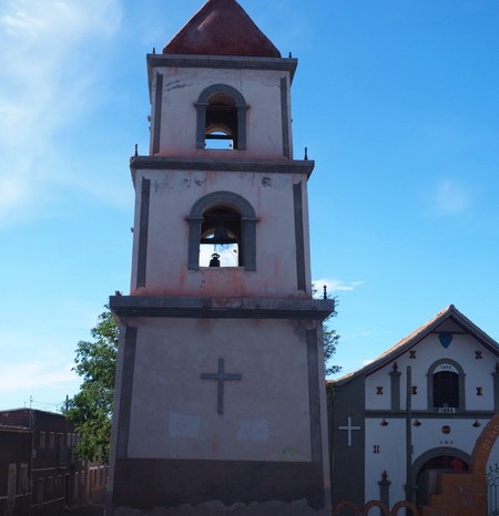
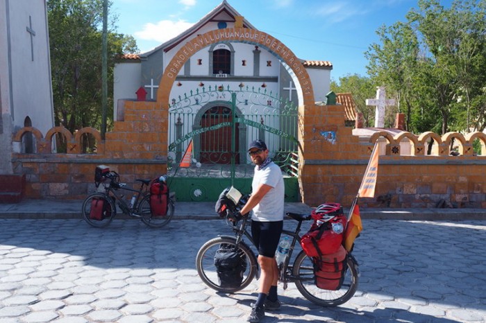
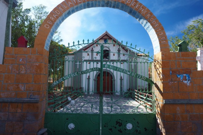
The cute church at Llica
The cute church at Llica
The cute church at Llica
The cute church at Llica
Wednesday 9th December: Rest day in Llica
After 5 tough days on the bike, we were in need of a sleep in and a relax. We slept in, watched movies and carb loaded. It was great! Vincent and Mylene had had an easier time crossing the Salar de Coipasa on their fat bikes, so they decided not to have a rest day, but to carry on to Uyuni.
We weren’t too impressed with the local restaurants in Llica, so that night we cooked dinner (a simple pasta) on our little stove in the hotel corridor (thankfully, the owner didn’t mind!).
Thursday 10th December: Llica to Isla Incahuasi
This was one of the easiest days of our tour!
We had got quite burnt in the Salar de Coipasa, despite wearing sunscreen, so before heading out of Llica we went in search of a wide brimmed hat. We found some cool, reversible animal print hats for 20B each (USD 2.90)! Amazing value. ![]()
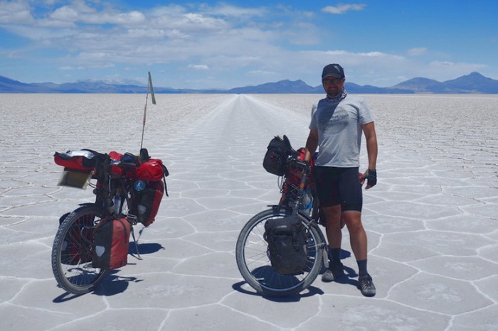
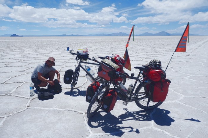
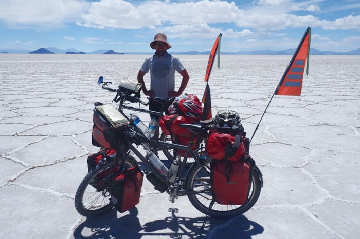
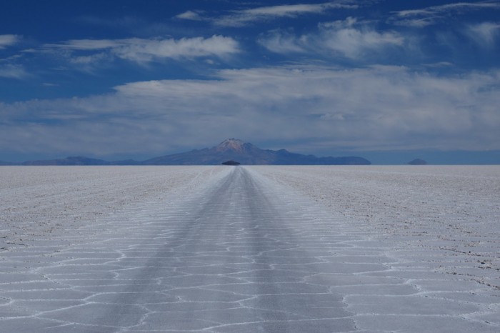
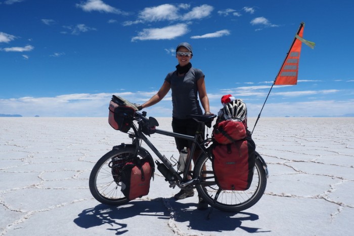
We followed Andes by Bikes instructions and after 9kms or so, we found ourselves on the Salar de Uyuni, the largest salt flat in the world! This Salar is much more frequented than the Salar de Coipasa and we found cycling on it a breeze! We easily found the road to Isla Incahuasi, which passes Isla del Pescado after 50kms. We stopped at Isla del Pescado for a hot lunch of 2 minute noodles before cycling onto Isla Incahuasi. The sight of us cooking on the Salar seemed to amuse a passing jeep – it was the only car that we saw until we neared Isla Incahuasi.
We had a tailwind for almost our entire journey, so we literally whizzed across the salt, with very little effort. After our struggles on the Salar de Coipasa, it was a huge relief!
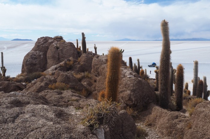
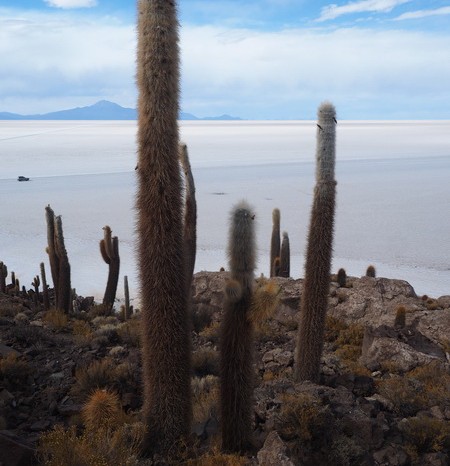
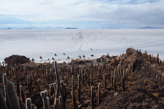
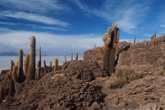
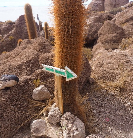
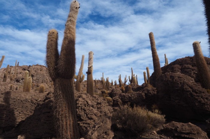
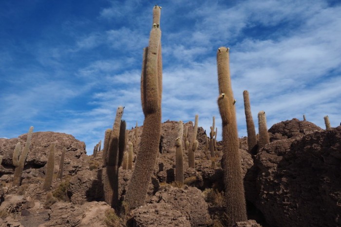
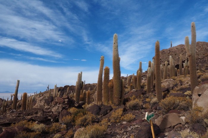
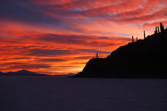
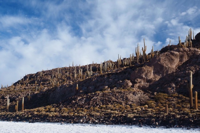
We arrived at the lovely Isla Incahuasi around 2pm, and got a beer at the local pub to celebrate! Isla Incahuasi is covered with huge cacti, and although it is extremely touristy, we enjoyed our time there immensely, especially after the jeeps started to depart. We signed Alfredo’s special guest book for cyclists and found a campsite on the non-touristy side of the island, out of the wind, behind a manmade wall. The sunset that evening was incredible.
Entry to the island costs 30B per person, which includes access to the toilets and the little walkway.
KMs travelled: 81kms
Welcome to Llica
On our way to Salar de Uyuni
The surface on the edge of the salar
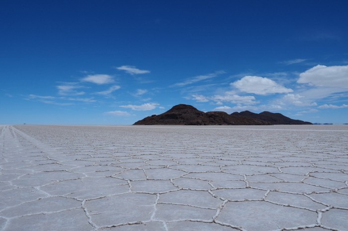
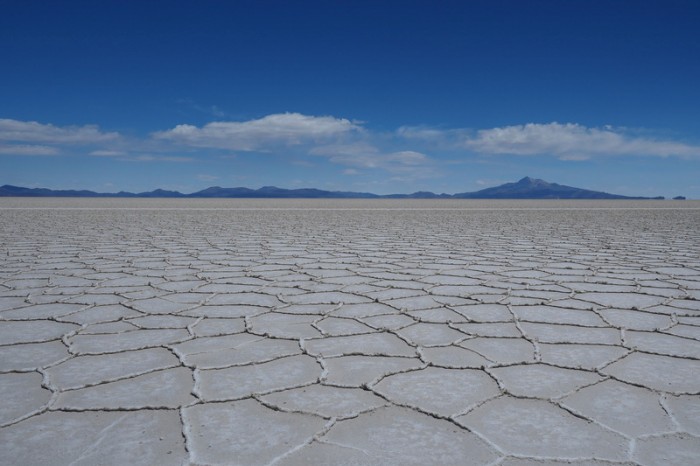
Salar de Uyuni
Signpost to Llica on Salar de Uyuni
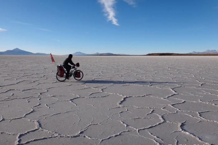
Cycling Salar de Uyuni
Cycling Salar de Uyuni
Cycling Salar de Uyuni
Cycling Salar de Uyuni – we bought wide brimmed hats for the sun
Isla del Pescado
David cooking 2 minute noodles on the Salar
Cycling Salar de Uyuni
Salar de Uyuni
We basically followed this one track all the way to Isla Incahuasi
Cycling Salar de Uyuni
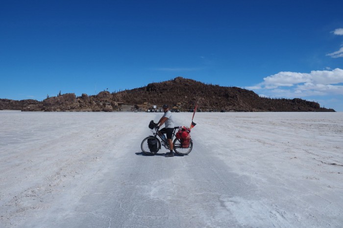
Isla Incahuasi
Isla Incahuasi
Isla Incahuasi
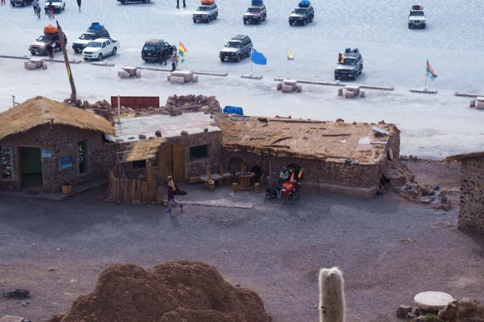
There were a crazy number of jeeps at Isla Incahuasi
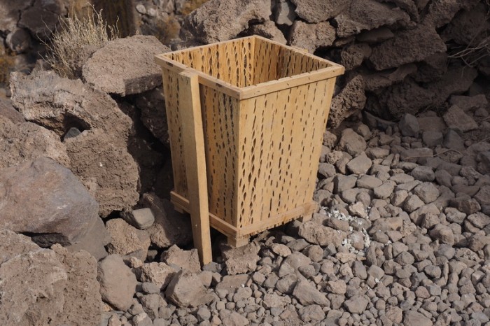
Rubbish bin made from cactus, Isla Incahuasi
Isla Incahuasi
Isla Incahuasi
Isla Incahuasi
Isla Incahuasi
Isla Incahuasi
Isla Incahuasi
Isla Incahuasi
Isla Incahuasi
Isla Incahuasi
Sunset, Isla Incahuasi
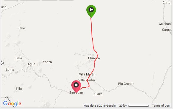
Friday 11th December: Isla Incahuasi to San Juan
Unfortunately, this was another incredibly tough day. We woke up early around 6am and were packed up and cycling round to the other side of the island by 7am. We were surprised to see a number of tourists already walking around the island at this time. Apparently they had arrived around 5 am to watch the sunrise.
We had breakfast at one of the little salt tables and met a lovely cyclist, Mark, who is cycling from China to Canada via Africa – very cool. We chatted with Mark and some of the other tourists, and didn’t end up leaving the island until 8.30am, which was a BIG mistake.
We headed off from Isla Incahuasi in the direction of San Juan with a wonderful tailwind behind us. Within no time we had covered 20kms, so we thought we had time to take some photos. We got a little carried away and before we knew it, 2 hours had passed.
We got back on the bikes and travelled the next 20kms relatively easily, still with the strong tailwind behind us. Unfortunately at this point, our magic run on the Salar de Uyuni ended. We came across a raised dirt road, used by numerous trucks. We followed this road to exit the Salar, while battling a horrendous side wind. At the end of the raised road, we came to a little shop, where we stopped for a breather, some chocolate and a coke.
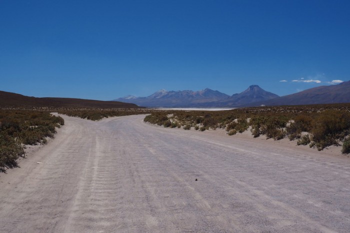
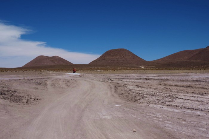
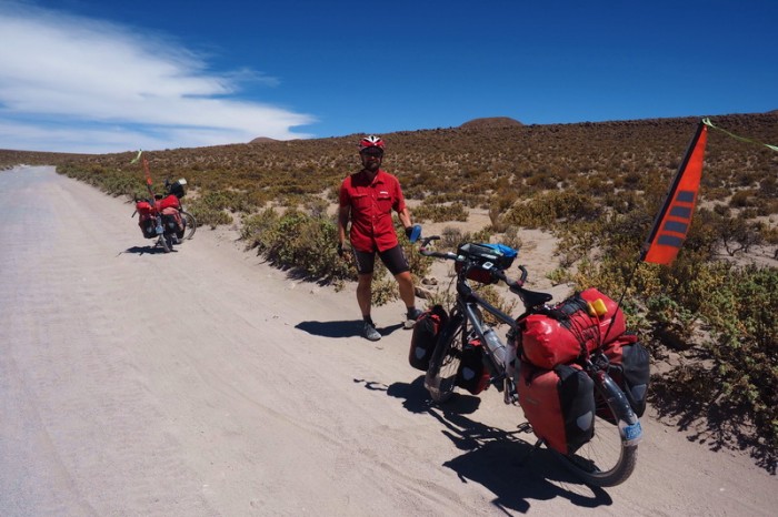
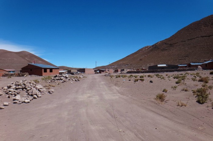
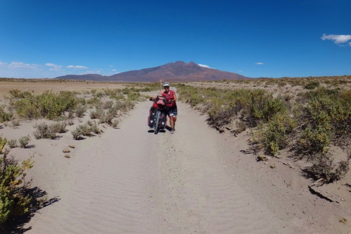
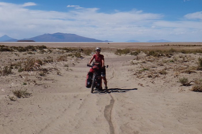
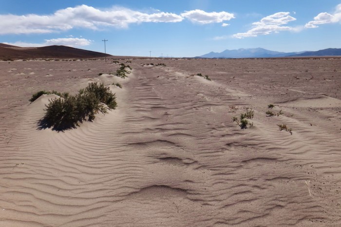
From here, we spent the next 50kms on the terribly sandy and rocky road to San Juan, with lots of washboard sections and a strong headwind for most of the way. What could be worse! The only relief came from a short 5km section on a Salar. I was doubtful whether we would be able to make it to San Juan, but David was keen to reach the town that night, as he had read that the hostals aren’t always open during the day. We pushed on and ended up arriving in the dark at 8pm.
We were directed to a cheapish hostal, where we got a double room, with a private bathroom (with hot water!) for 100 B (USD 14.5). We planned to have dinner at the local chicken shop, but it closed at 9pm, so we had to make do with a dinner of cup a noodle soup, with hot water kindly provided by the owner of the hostal!
KMs travelled: 90kms
Isla Incahuasi
The little outdoor bar/cafe at Isla Incahuasi
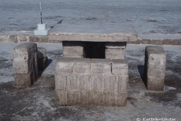
Picnic table made of salt, Isla Incahuasi
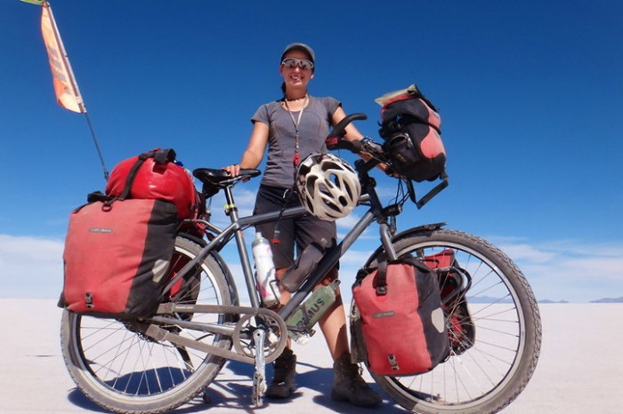
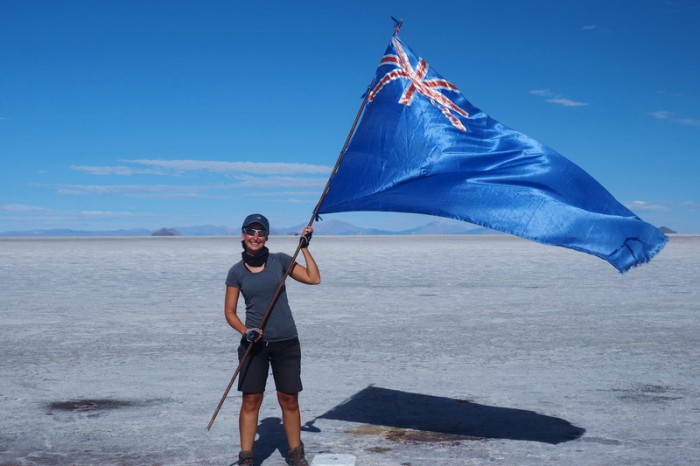
Jo proudly holding the Australian/New Zealand flag
Isla Incahuasi
Cycling Salar de Uyuni on our way to San Juan
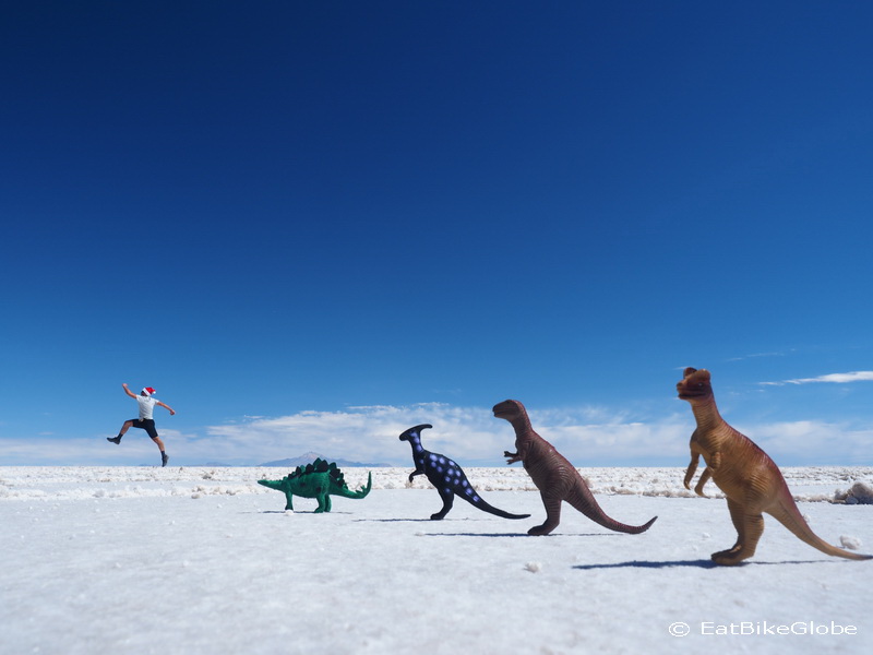
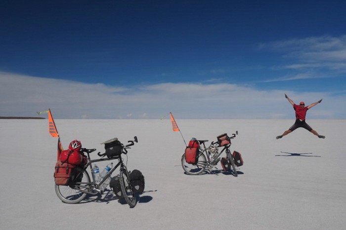
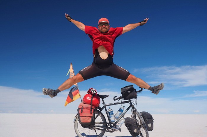
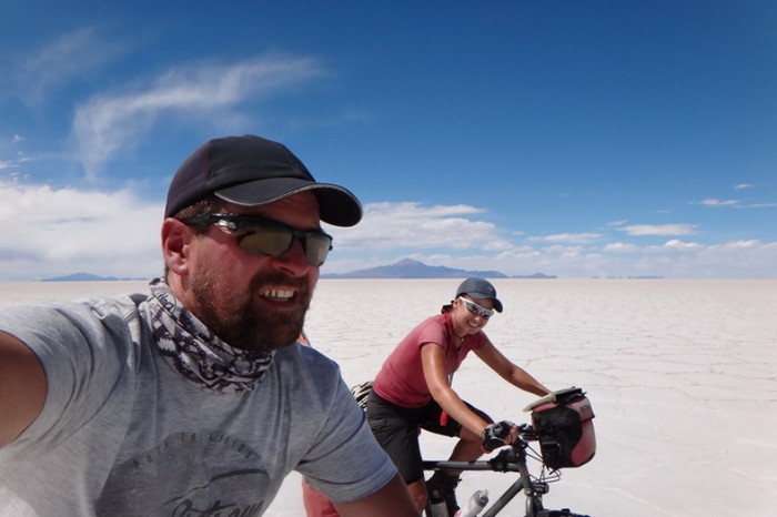
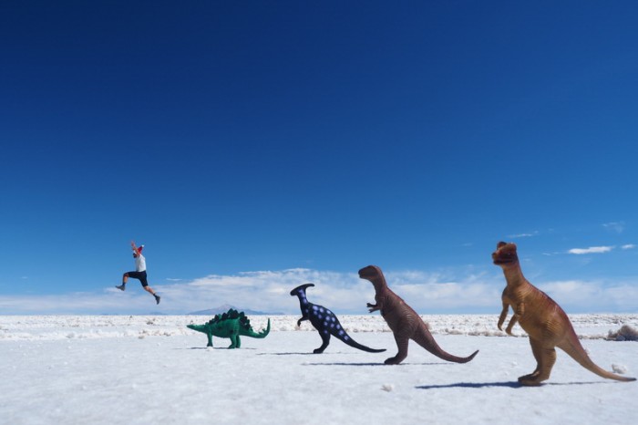
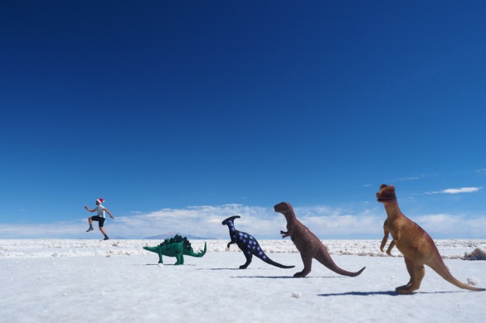
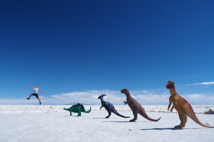
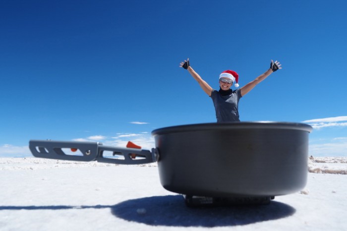
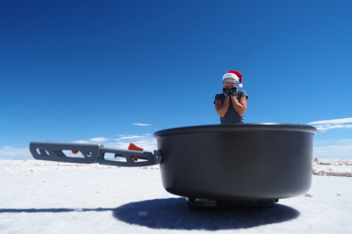
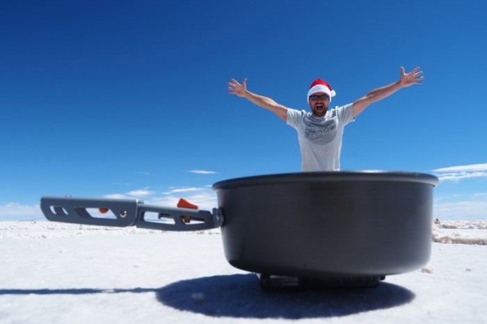
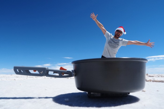
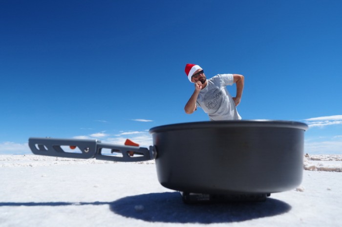
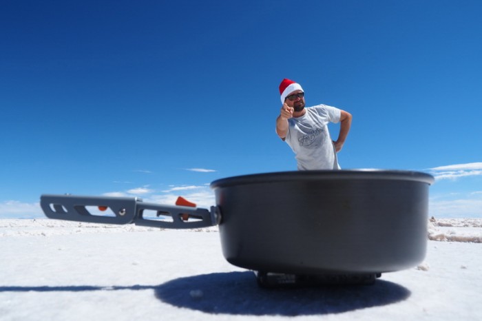
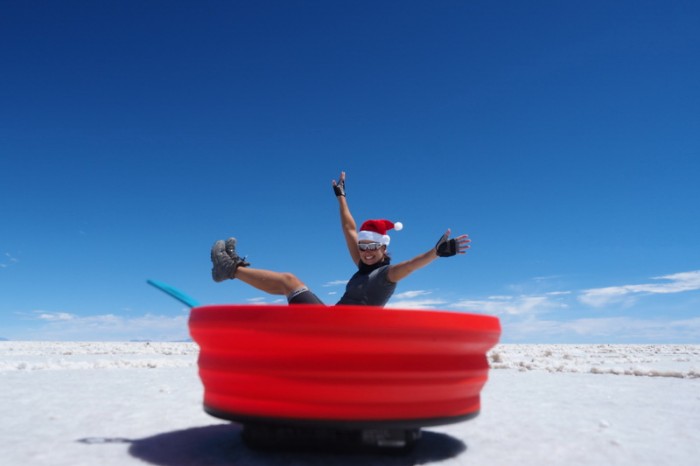
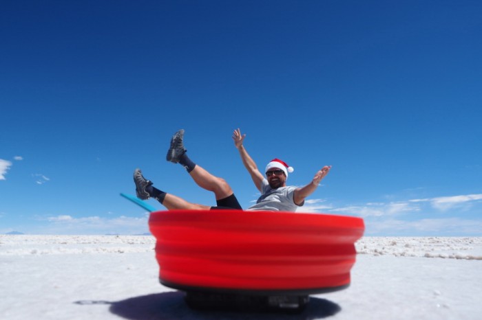
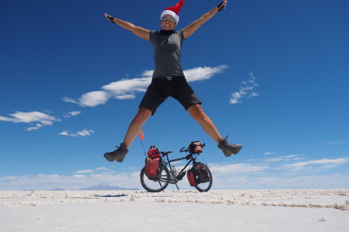
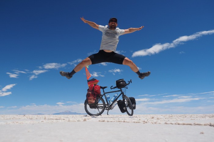
Salty antics!
Salty antics!
Salty antics!
Salty antics!
Salty antics!
Salty antics!
Salty antics!
Salty antics!
Salty antics!
Salty antics!
Salty antics!
Salty antics!
Salty antics!
Salty antics!
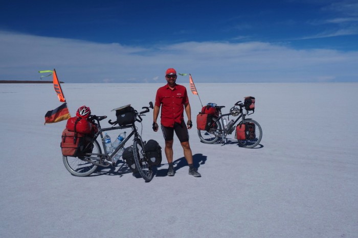
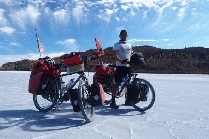
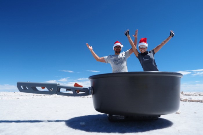
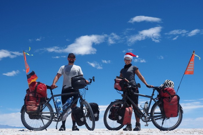
Couple shot!
Jo on Salar de Uyuni
We endured a crazy sidewind on the way to San Juan
We endured a crazy sidewind on the way to San Juan
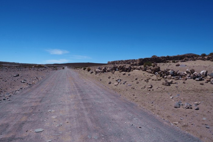
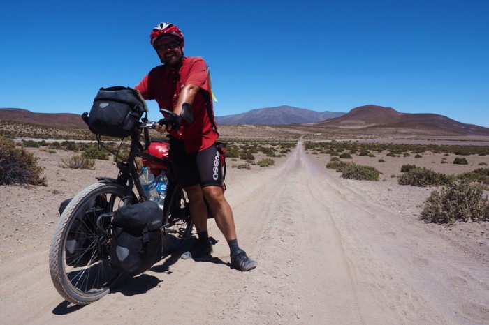
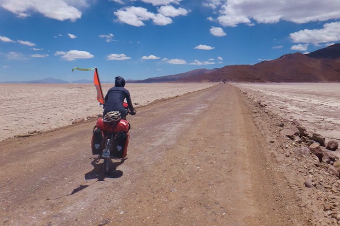
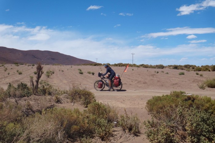
The road to San Juan was all dirt and generally in bad condition
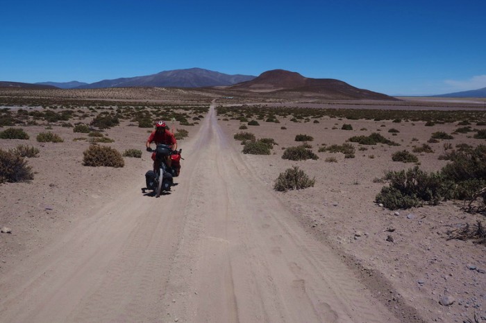
On the way to San Juan
On the way to San Juan
On the way to San Juan
On the way to San Juan
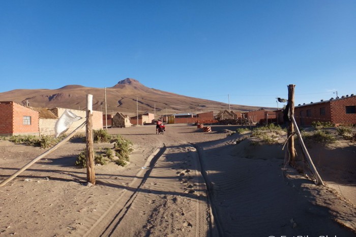
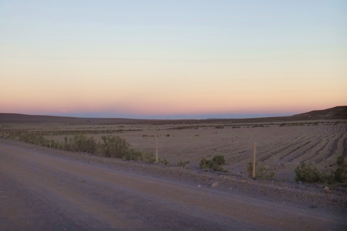
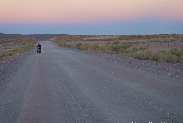
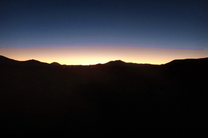
We arrived in San Juan in the dark. At least we got to enjoy a nice sunset!
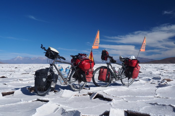
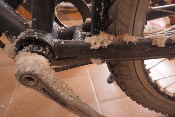
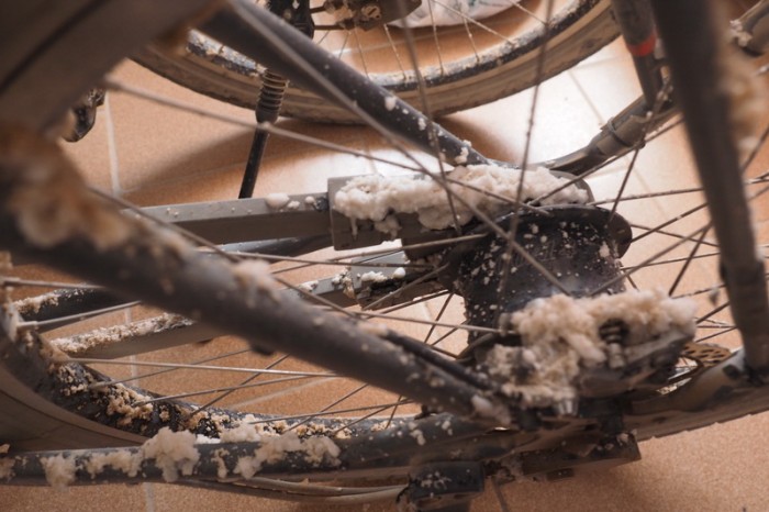
Our bikes were covered with salt after crossing the Salars!
Our bikes were covered with salt after crossing the Salars!
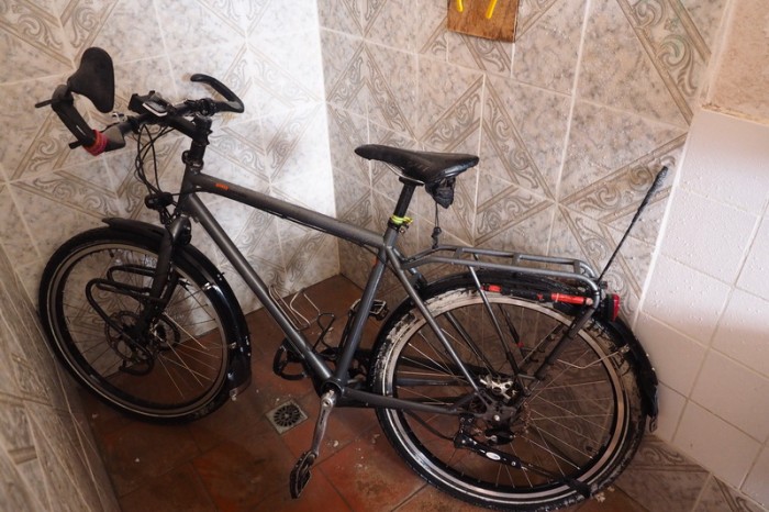
Giving our bikes a shower in our hotel!









Recent Comments