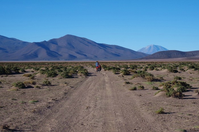
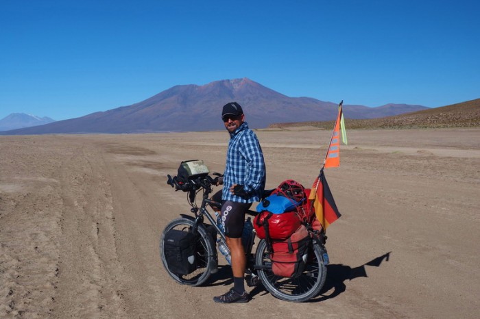
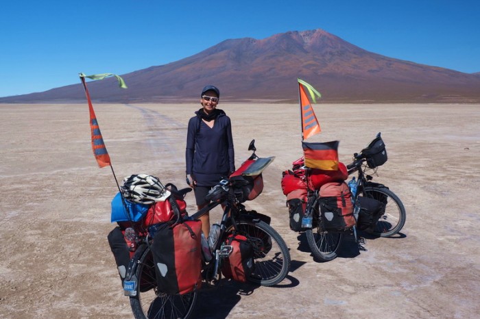
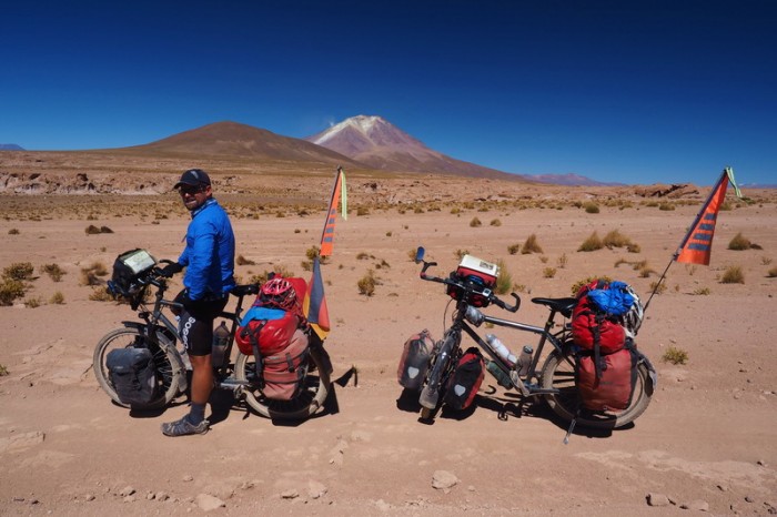
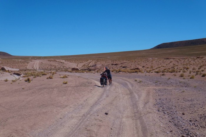
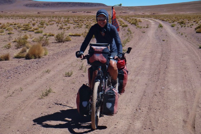
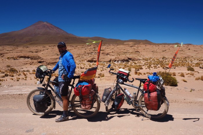
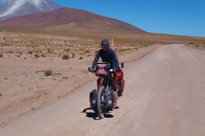
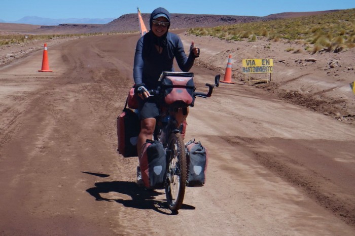
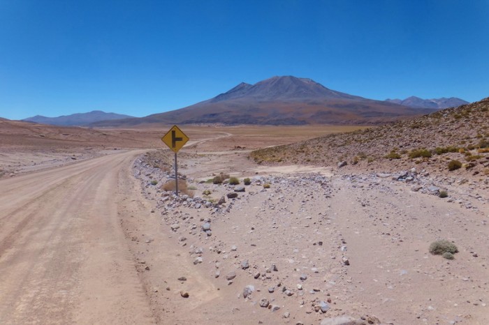
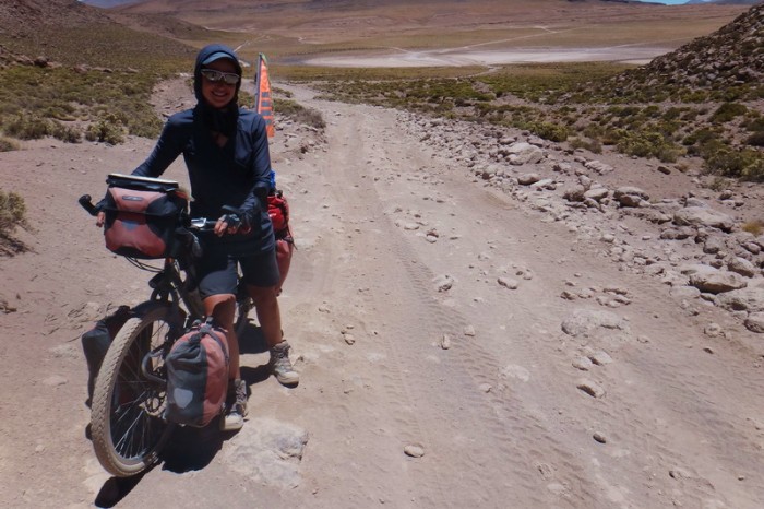
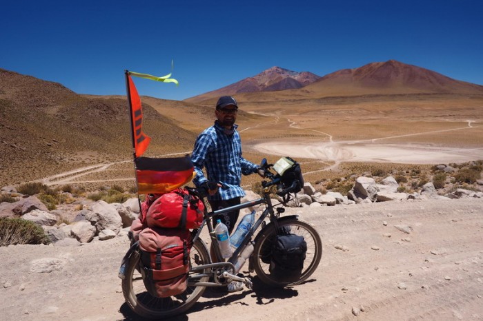
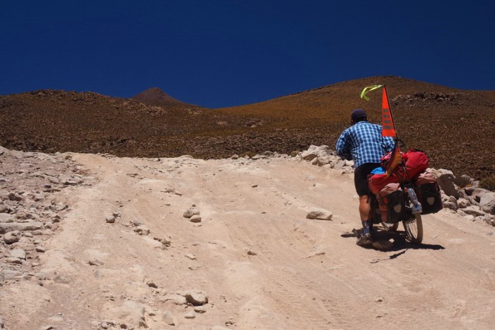
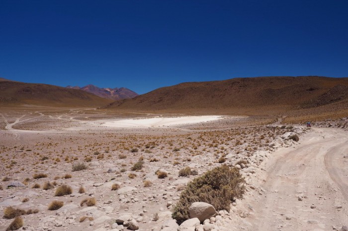
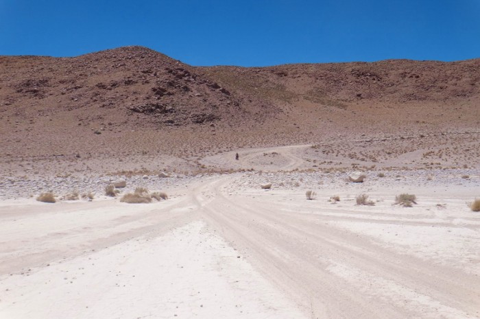
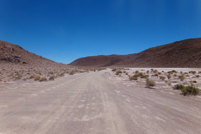
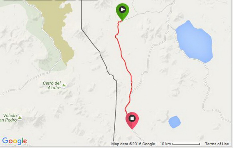
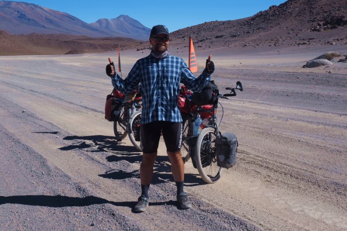
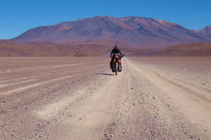
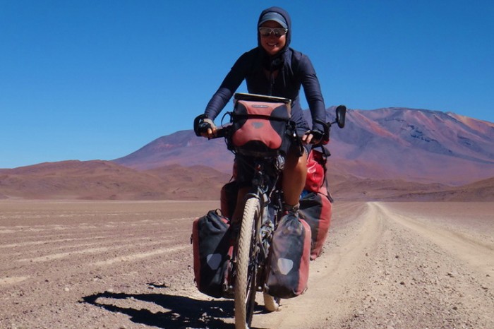
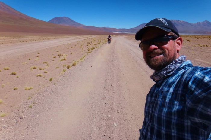
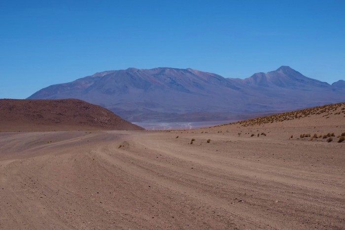
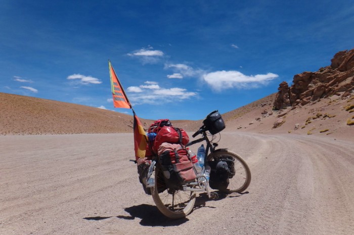
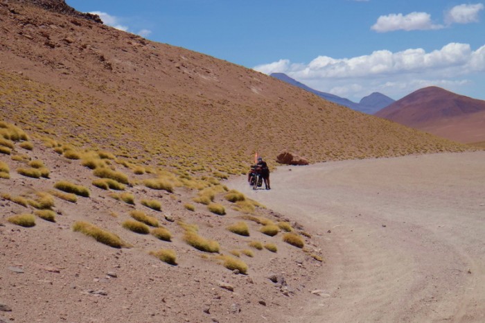
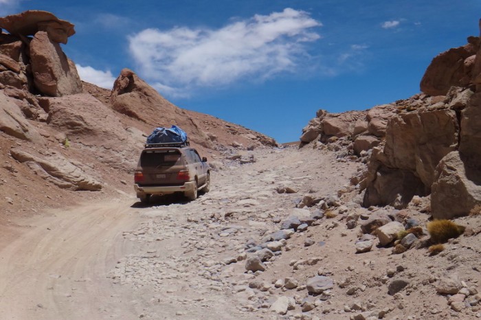
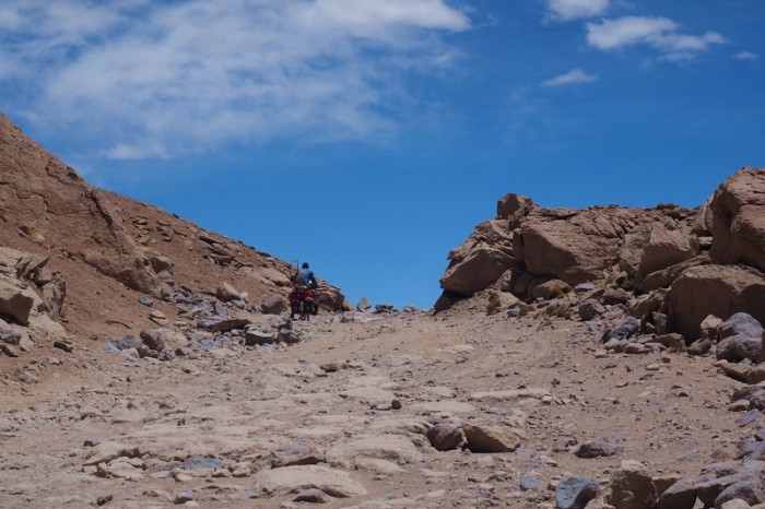
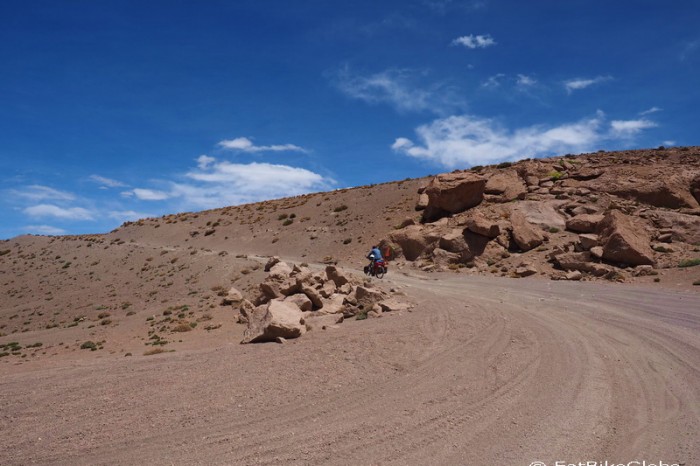
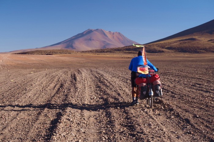
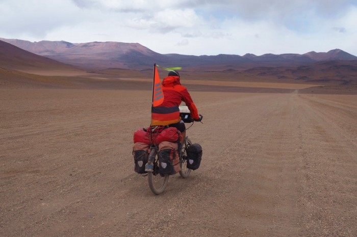
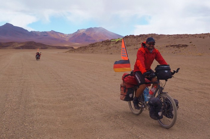
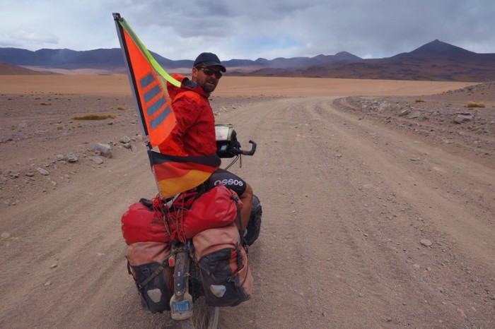
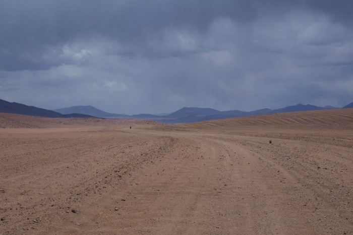
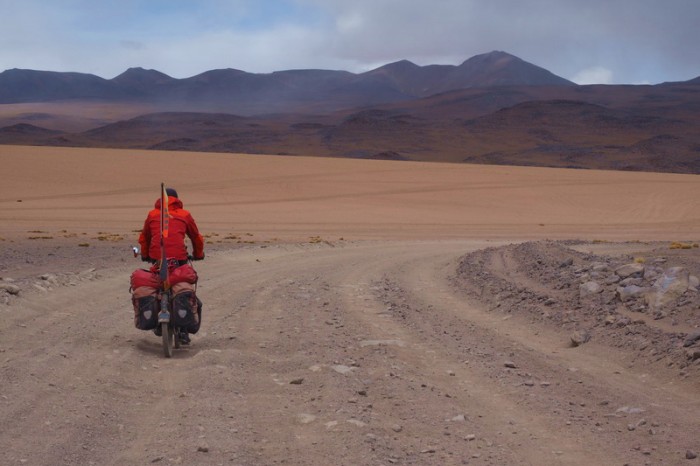
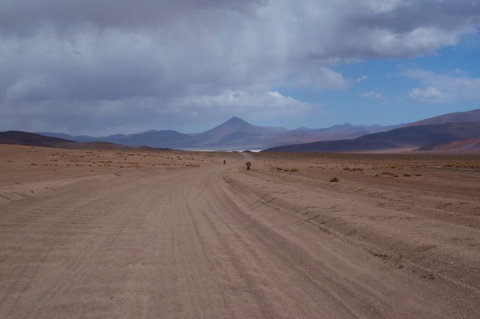
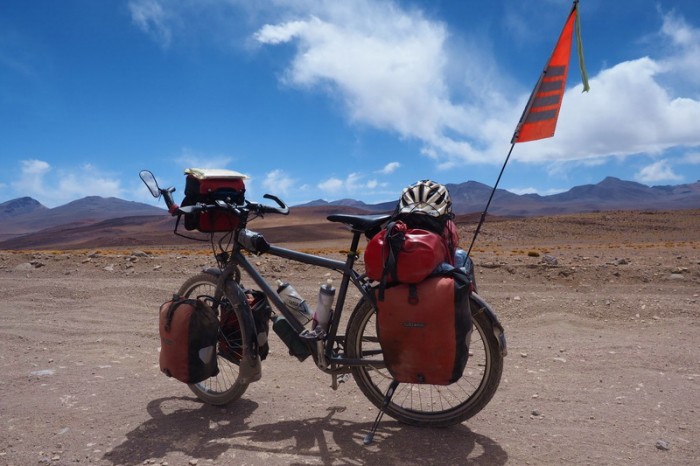
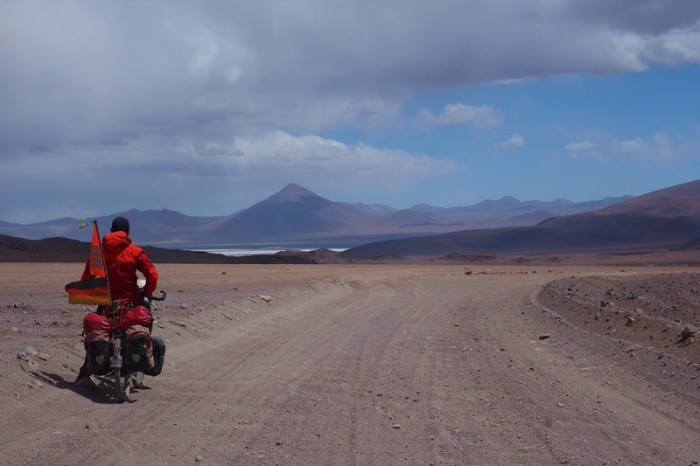
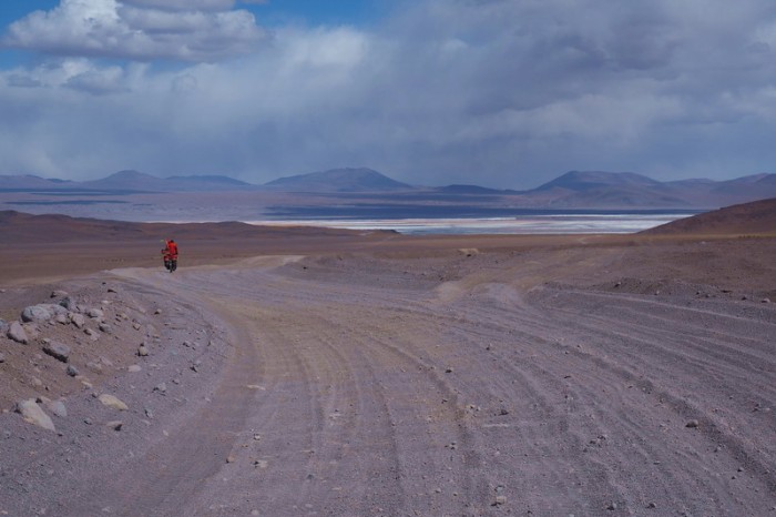
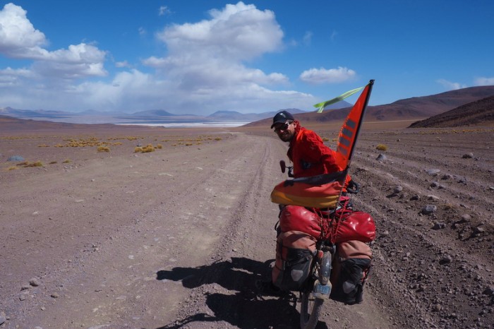
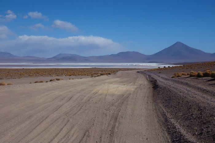
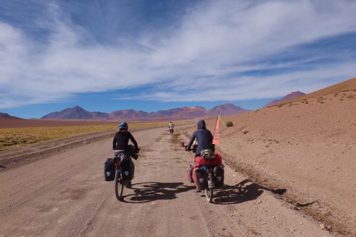
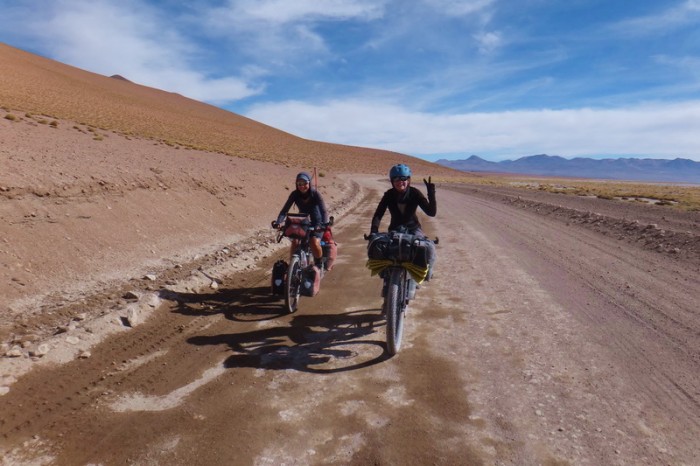
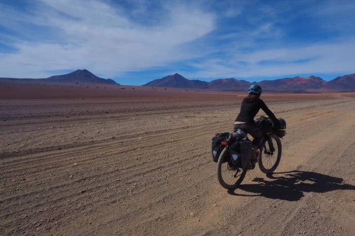
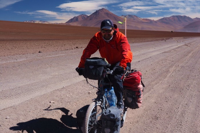
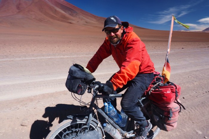
We recently cycled from San Juan, Bolivia to San Pedro de Atacama, Chile, along what is generally referred to by cyclists as the “Laguna Route”. We have certainly had some tough days on our tour, but for us, this was definitely the hardest section of our trip to date. The roads were some of the worst that we have come across, often sandy or rocky, or both. Some were rideable, others not, which meant pushing our heavy bikes through deep sand. I (Jo) probably pushed my bike for about 25% of the Laguna Route (I am cautious on sand after breaking my ribs in Mexico), while David managed to cycle about 95% of the way.
Our first 4 days were definitely the hardest. The road started to improve after Laguna Colorado. Of course, we also had more food during these initial days!
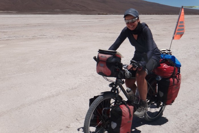
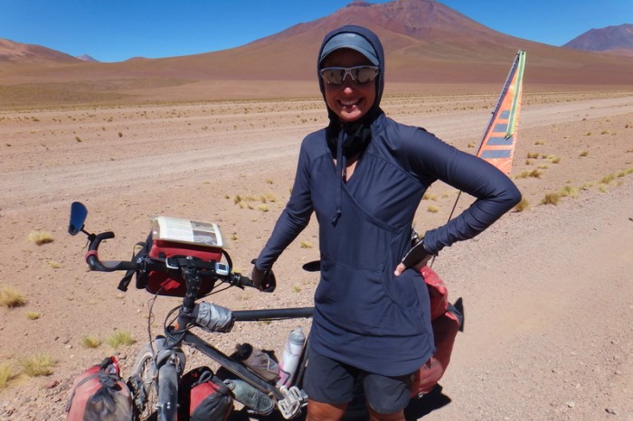
We had prepared ourselves for the extreme cold, but this wasn’t really an issue after 7.30am in the morning. For us, it was the wind and the extreme sun at this altitude that were most difficult for us (we generally wore long sleeve tops and reapplied sunscreen twice daily). Having spent the last 5-6 months at altitude, we also didn’t find cycling above 4000m overly problematic, although the altitude caused David a lot of toothache.
We generally carried about 19L of water between us and were able to fill up every 2nd day, although the jeeps were great and will give you water (and possibly food), if necessary.
Here is an overview of our 8 day adventure crossing from San Juan, Bolivia to San Pedro de Atacama, Chile. It is detailed for our own records, so feel free to skip ahead to the photos!
Saturday 12th December: Rest/preparation day in San Juan
After a very exhausting day before, cycling from Isla Incahuasi to San Juan, we were happy to have a rest/preparation day in San Juan.
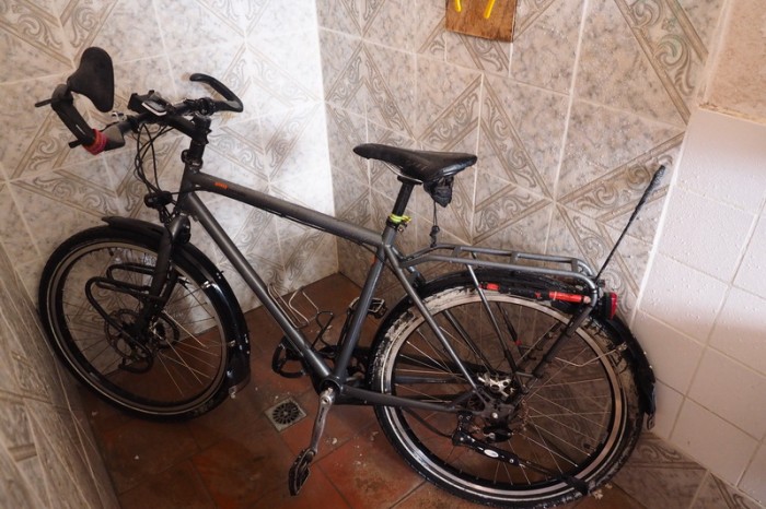
We did our washing, cleaned our bikes and panniers, which were covered with salt (in the shower of our room!) and bought food and extra gasoline for the next 7 days.
San Juan turned out to be much smaller (and lifeless) than we had imagined. We had hoped to find wifi, or an Internet cafe, but San Juan did not have either. There was only one restaurant in town – a polleria (chicken shop), which opens only in the evening from 7-9pm. There was nowhere in town to buy breakfast or lunch, so we cooked scrambled eggs for lunch in our hotel room. There was also no ATM, although it is possible to change USD at one of the bigger supermarkets.
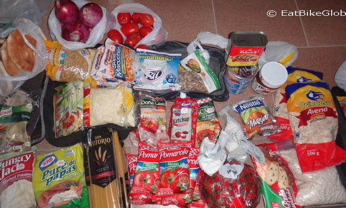
It was almost impossible to buy vegetables in San Juan. We weren’t able to find any vegetables in any of the little grocery stores in town, although we did ask for them. Luckily it was Saturday, so we were able to buy onions and some tomatoes from a vegetable truck in the main square.
To find all of the required food we had to go to at least 6 different grocery stores – so shopping for 7 days took a long time!
Giving our bikes a shower in our hotel!
This was the food that we bought in San Juan for our 8 day crossing of the Laguna Route
Sunday 13th December: San Juan to Wild camp 3kms before the pass
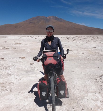
We woke up early at 5am and were on the road by 7am … unfortunately, we weren’t moving very quickly this morning … a theme that continued throughout the day! We had hoped to beat the terrible winds, which normally start around noon, but unfortunately for us, the wind was in full force from 7.30am. ![]()
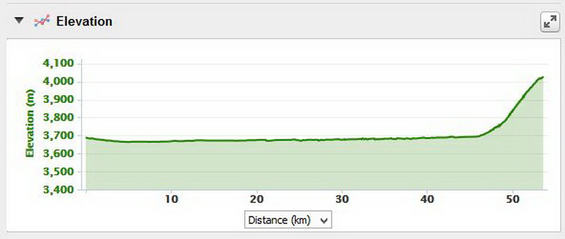
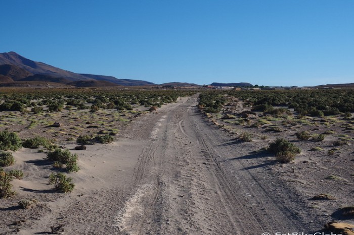
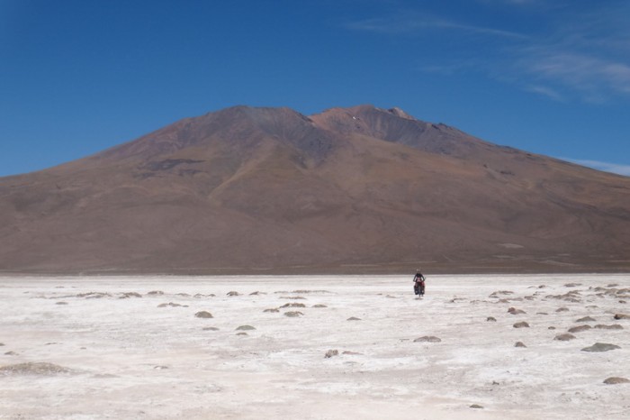
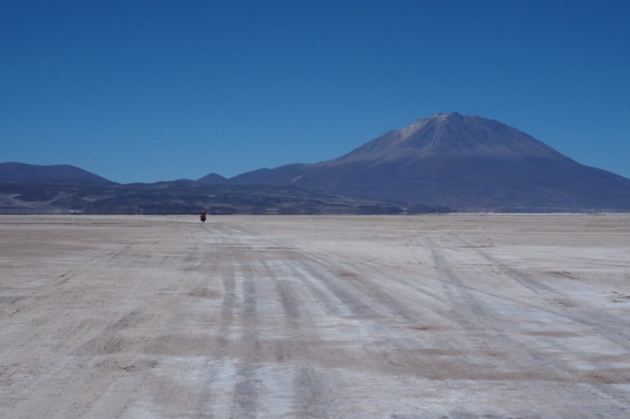
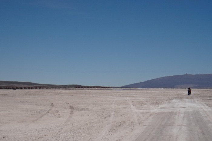
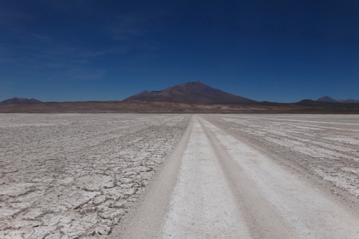
The first 2kms were fine on a good dirt road, but we had to push our bikes a lot through deep sand for the next 3kms. Thankfully, after the 5kms mark we started cycling on a good stretch of salt through the Salar de Chiquana towards beautiful Volcano Ollagüe. We were passed by lots of 4WDs on the Salar; they were generally friendly and one even stopped for a chat.
This stretch of 30kms from San Juan to Chiquana should have been fast, as it is very flat and smooth on the Salar de Chiquana. Unfortunately, we were battling a strong headwind and were not able to cycle more than 10 kms per hour.
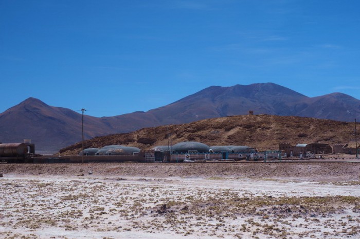
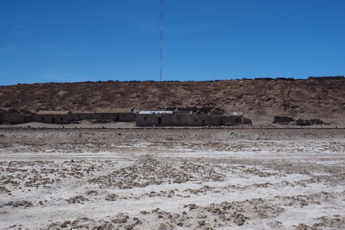
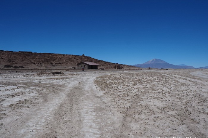
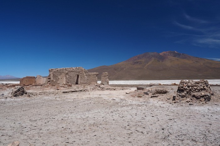
We followed the 4WD tracks to the “town” of Chiquana. We had to make a 90 degree left turn to reach the town and the military camp. There really isn’t a town at Chiquana – it seemed completely abandoned – only the military camp seemed in use. We didn’t cycle through the camp and we didn’t have to sign in as mentioned in the PDF Guide.
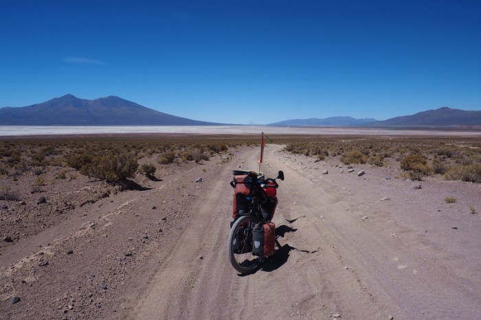
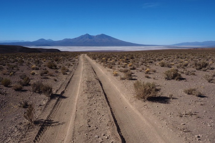
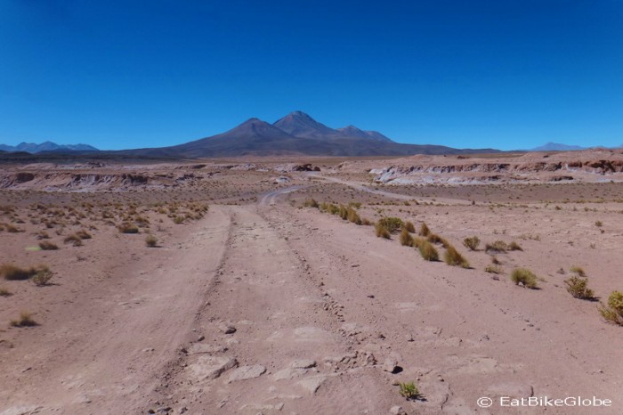
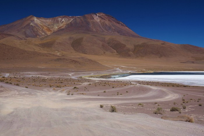
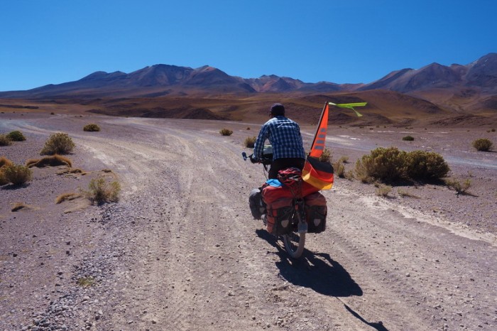
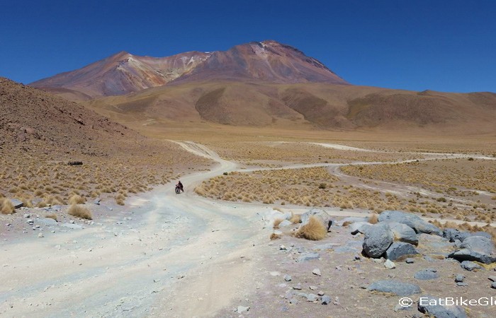
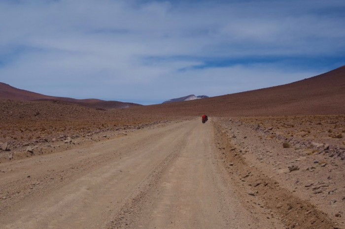
The next stretch of road from the military camp to the turn off was quite good. Approx. 10kms after Chiquana we made a left turn and the quality of the road deteriorated from that point, becoming extremely sandy and rocky. Occasionally we had a tailwind, but it was predominantly a headwind.
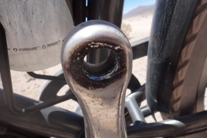
Cycling along this part, one of my pedals fell off! So, I had to push my bike until I caught up with David. We decided that this was a good opportunity for a lunch break (bread and avocado). David managed to reattach my pedal, but he needed to use lock tight to hold it in place, as half of the thread had been ripped off.
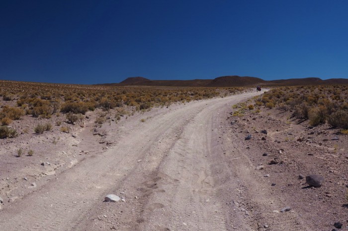
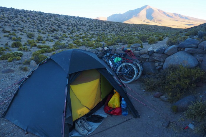
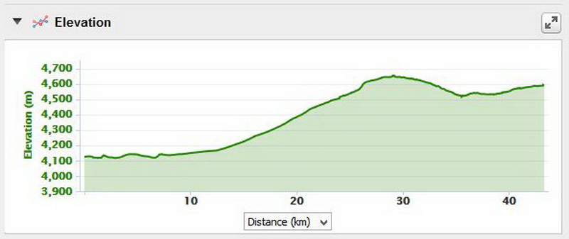
For the next 7kms, we cycled and pushed our way up the hill. We found a great sheltered campsite about 3kms from the pass at 4020m around 4.30pm. We were pretty exhausted by this time and were pushing our heavy bikes much more than we were cycling on the very sandy surface. We made a pasta dinner and called it a day!
KMs travelled: 54kms
Day 1 of the Laguna Route: Views of San Juan
Day 1 of the Laguna Route: Leaving San Juan
Day 1 of the Laguna Route: Cycling on Salar de Chiquana
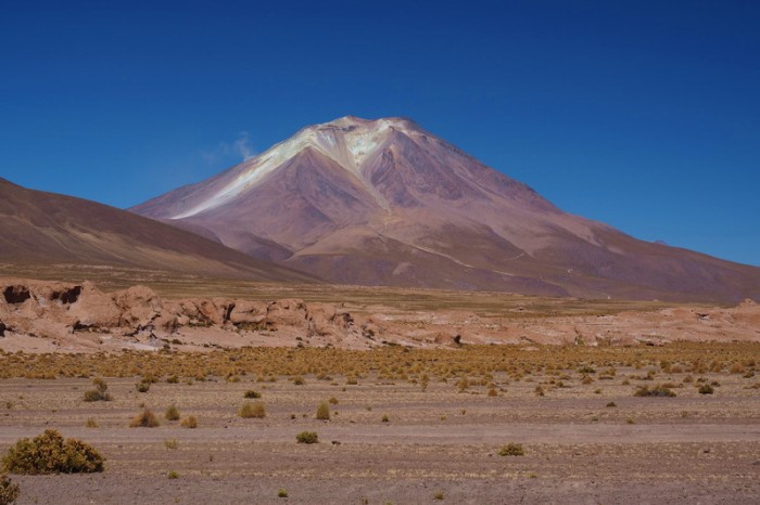
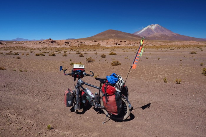
Day 1 of the Laguna Route: Heading towards Volcano Ollagüe
Day 1 of the Laguna Route: Heading towards Volcano Ollagüe
Day 1 of the Laguna Route: Cycling towards the “town” of Chiquana
Day 1 of the Laguna Route: Cycling towards the “town” of Chiquana
Day 1 of the Laguna Route: The military base at Chiquana
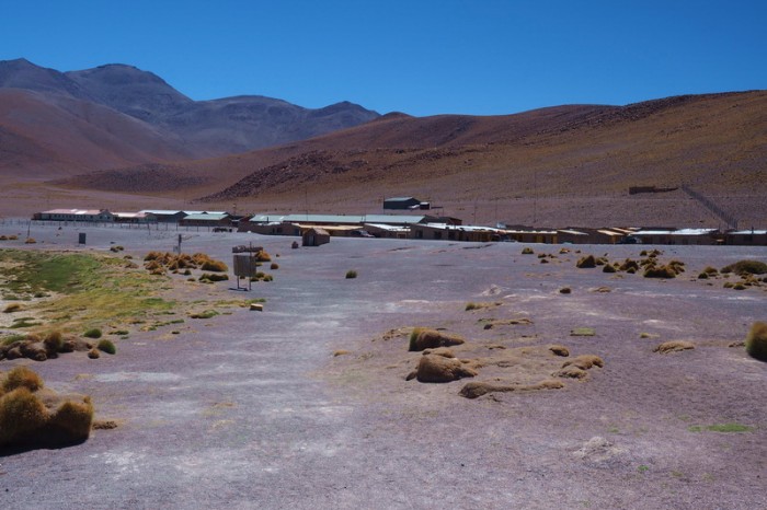
Day 1 of the Laguna Route: The “town” of Chiquana
Day 1 of the Laguna Route: The “town” of Chiquana
Day 1 of the Laguna Route: The “town” of Chiquana
Day 1 of the Laguna Route: Crossing the Salar and following the railway line
Day 1 of the Laguna Route: Crossing the Salar and following the railway line
Day 1 of the Laguna Route: Crossing the Salar and following the railway line
Day 1 of the Laguna Route: Crossing the Salar and following the railway line
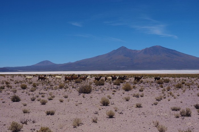
Day 1 of the Laguna Route: Llamas
Day 1 of the Laguna Route: Jo’s peddle broke as we started to ascend the 10km climb
Day 1 of the Laguna Route: Jo’s peddle broke as we started to ascend the 10km climb
Day 1 of the Laguna Route: Views from the 10km climb
Day 1 of the Laguna Route: The 10km climb is sandy, rocky and technical
Day 1 of the Laguna Route: The 10km climb is sandy, rocky and technical
Day 1 of the Laguna Route: The 10km climb is sandy, rocky and technical
Day 1 of the Laguna Route
Day 1 of the Laguna Route: 3kms before the top of the climb we found this wind break – the perfect campsite
Day 1 of the Laguna Route: Views from the 10km climb
Day 1 of the Laguna Route: Our campsite
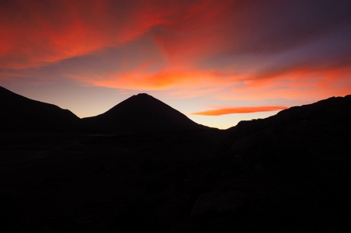
Day 1 of the Laguna Route: Sunset from our campsite
Day 1 of the Laguna Route: Sunset from our campsite
Day 1 of the Laguna Route: Our campsite
Monday 14th December: Wild camp 3kms before the pass to Ecolodge de los Flamingos
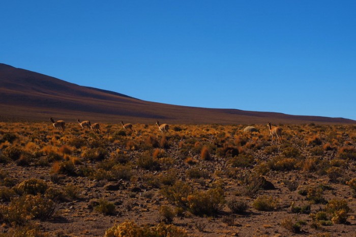
This was another tough day on the bikes. It took us about an hour to cycle/push our way to the top of the pass at 4200m. On top we saw a herd of vicuñas grazing and Viscacha (a hopping marsupial, like a little kangaroo) jumping between the rocks.
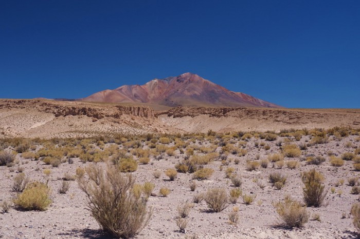
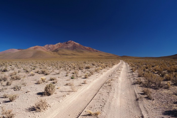
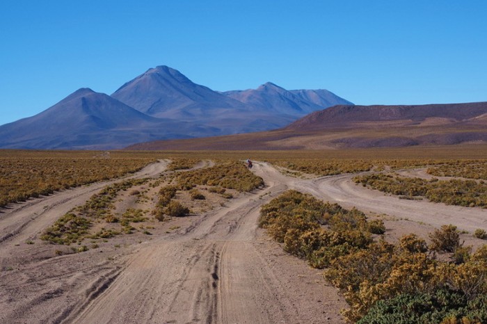
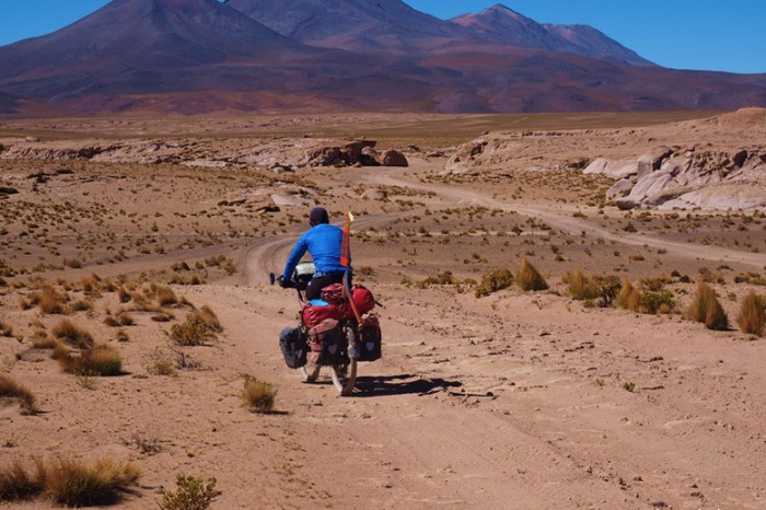
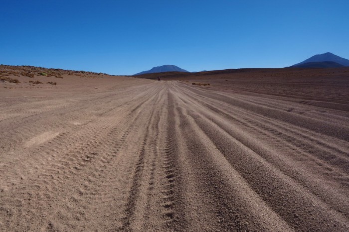
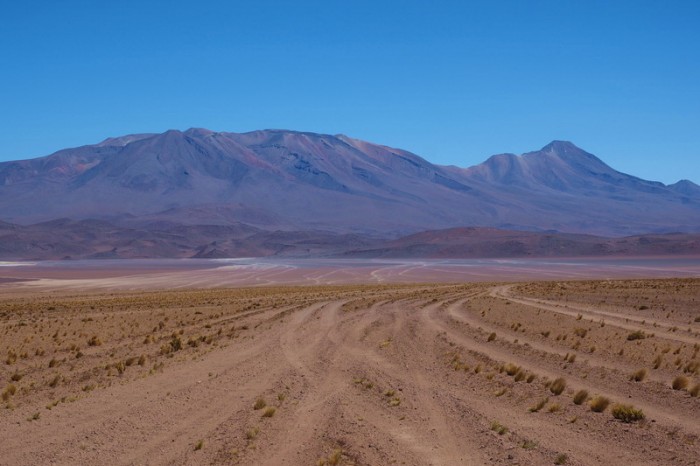
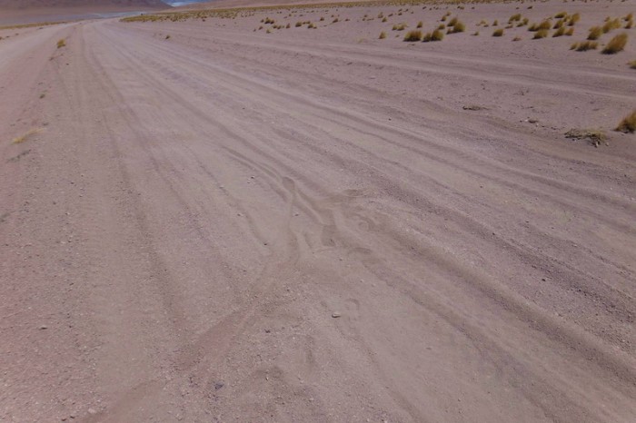
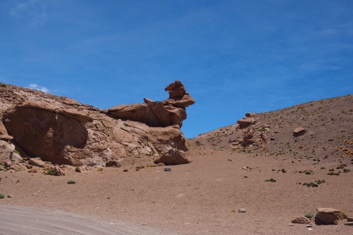
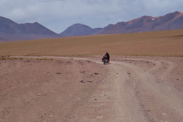
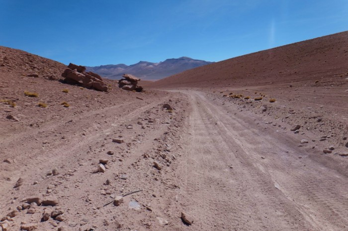
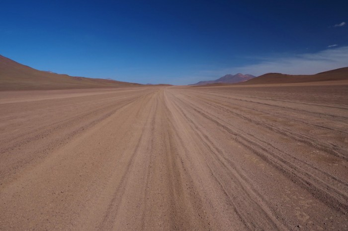
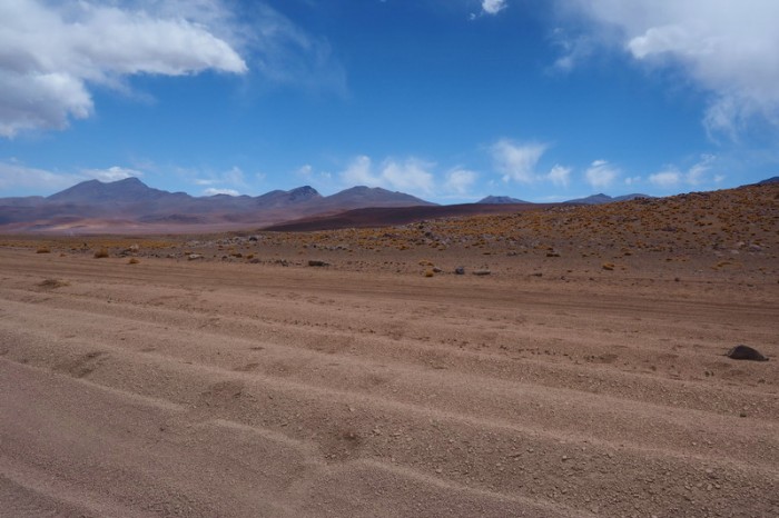
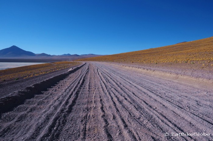
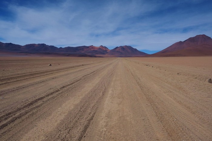
The next 10kms to the International Road were sandy, but mostly rideable, although we had to constantly switch tracks to find the hardest ground. The jeeps have created so many tracks over the years that the whole landscape looks as if a giant comb went through it. The scenery was beautiful, with lovely mountain views and rocky outcrops (which would make good campsites).
When we reached the International Road, we turned left and enjoyed some of the nicest cycling of the entire Laguna Route on a stretch of hard packed, graded dirt. The International Road was actually closed to traffic, so we didn’t have to worry about the traffic either. Perfect!
After 8kms we came to the junction, where we were supposed to turn right. We actually continued a little further along the road, thinking that some of the other 4WD tracks might be easier, but they were full of sand, so we wouldn’t recommend this. The next 3km to the top of the pass was pretty steep, rocky and sandy. Even the 4WDs seemed to be struggling on the ascent. We mostly pushed up this section, stopping for lunch at the top.
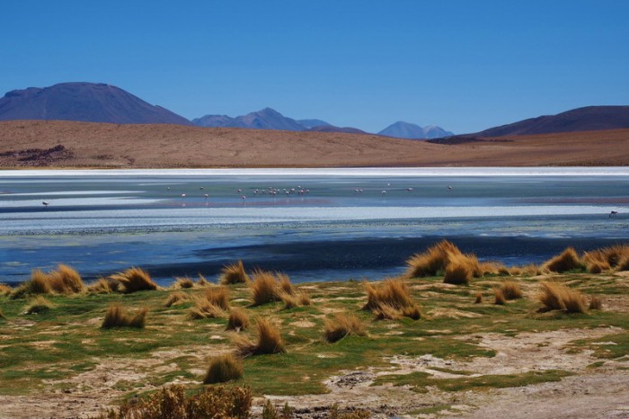
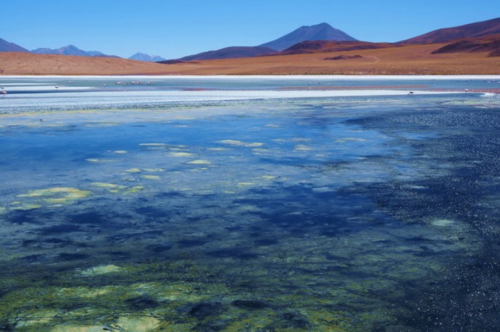
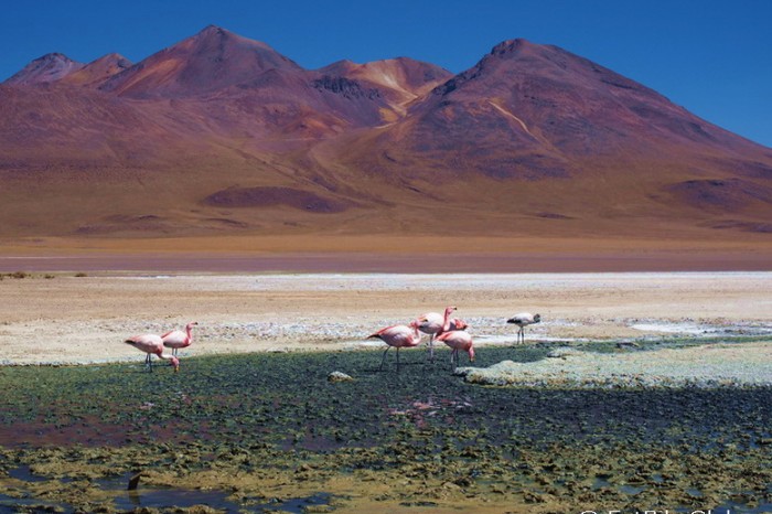
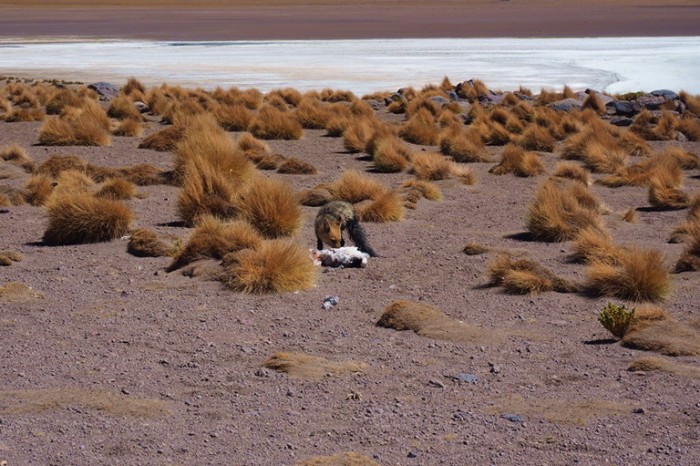
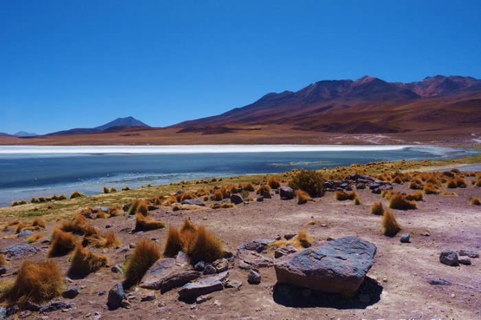
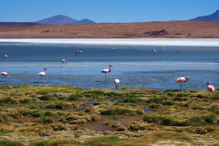
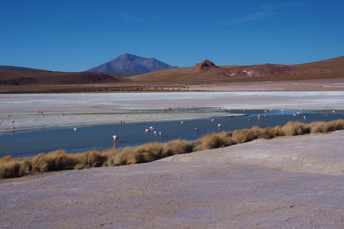
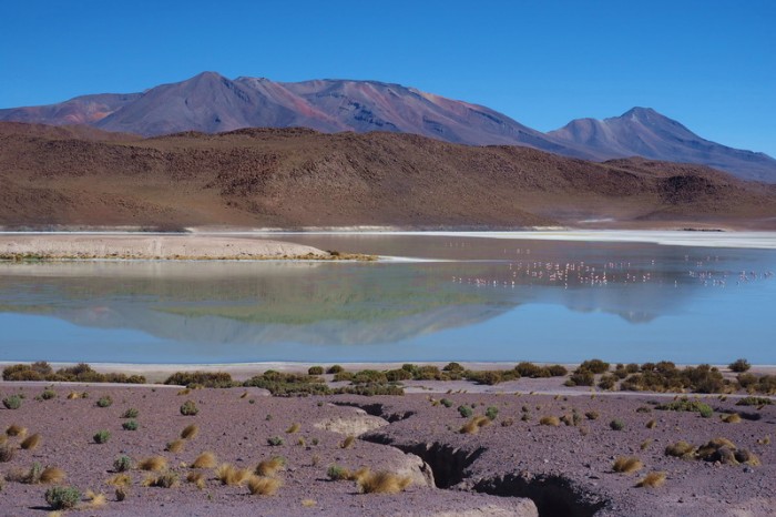
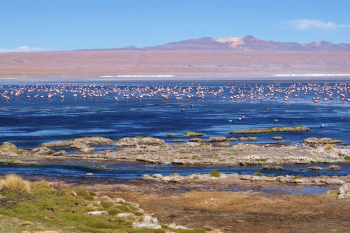
From here to Laguna Canapa the road undulated for 11kms and was very sandy. I kept switching tracks to find firm ground, but sometimes gave up and just pushed! Closer to Laguna Canapa the road quality improved and I was able to cycle most of the way. Reaching Laguna Canapa was the big highlight of the day. The lake was a magnificent blue colour – it was truly mesmerizing and I loved the flamingos. We spotted a crafty fox, which had caught a flamingo for his dinner!
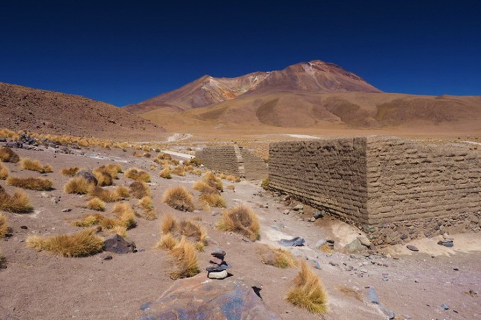
We would have liked to stay longer at Laguna Canapa (and you could certainly camp in some of the abandoned buildings beside the Laguna), but we wanted to reach Laguna Hedionda on this day. The next 10kms were similarly sandy, but we generally managed to cycle this section.
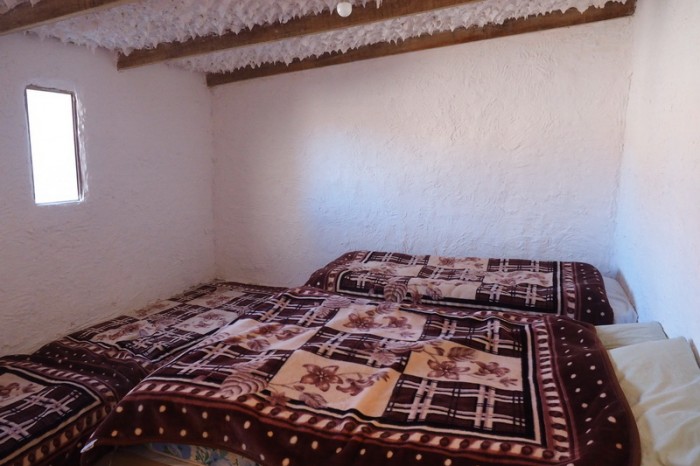
We made it to Laguna Hedionda around 4.30pm. From other blogs, we had understood that the Ecolodge was very expensive, but we got a double room at the Ecolodge de los Flamingos for 60B (USD 9), with a private bathroom. We paid 30B per person for dinner (which was a 3 course meal, including soup, grilled chicken, quinoa and vegetables for main and a dessert!). The best part about the Ecolodge was that they had wifi. We hadn’t had wifi since leaving Oruro and we wanted to let our family and friends know that we were still alive and well, so we paid the inflated price of 20B per person for 15min of wifi access. It was pricey, but so worth it, as I got all of my birthday messages! The staff at the hotel were very kind and filled up all of our water bottles for free!
Unfortunately, David started having tooth ache on this night, which we now know was caused by the altitude.
KMs travelled: 46kms
Day 2 of the Laguna Route: Vicunas at the top of the 10km climb
Day 2 of the Laguna Route: Vicunas at the top of the 10km climb
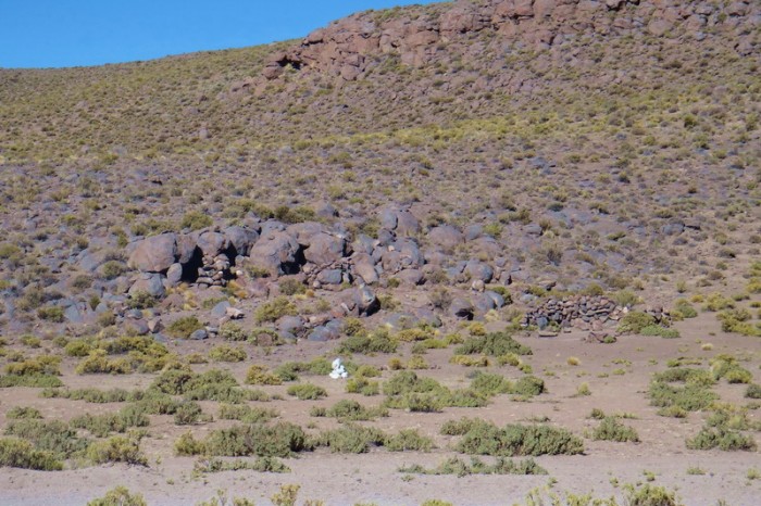
Day 2 of the Laguna Route: Possible campsites at the top of the 10km climb
Day 2 of the Laguna Route: Sandy, but mostly ride-able tracks to the International Road
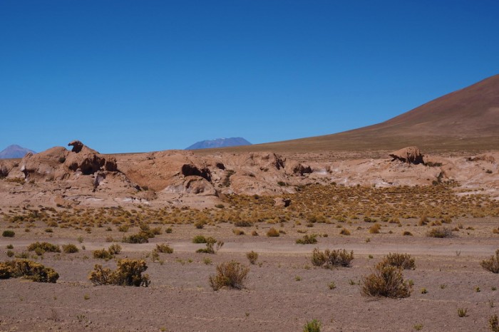
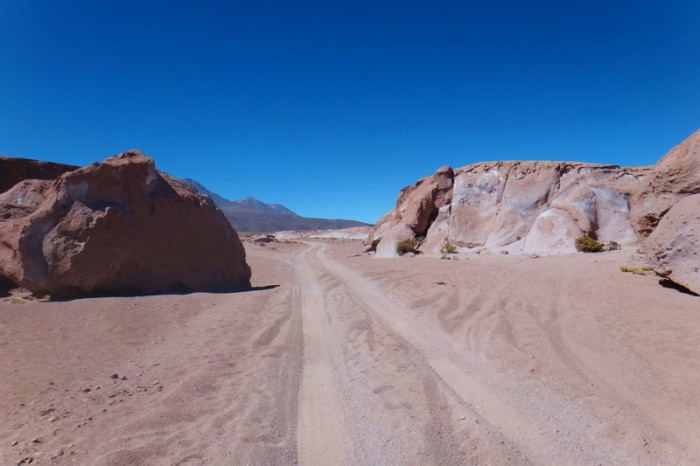
Day 2 of the Laguna Route: Lovely rocky outcrops on the way to the International Road
Day 2 of the Laguna Route: Lovely rocky outcrops on the way to the International Road
Day 2 of the Laguna Route: Lovely rocky outcrops on the way to the International Road
Day 2 of the Laguna Route: Sandy, but mostly ride-able tracks to the International Road
Day 2 of the Laguna Route
Day 2 of the Laguna Route: Sandy, but mostly ride-able tracks to the International Road
Day 2 of the Laguna Route: Sandy, but mostly ride-able tracks to the International Road
Day 2 of the Laguna Route: Sandy, but mostly ride-able tracks to the International Road
Day 2 of the Laguna Route: Sandy, but mostly ride-able tracks to the International Road
Day 2 of the Laguna Route
Day 2 of the Laguna Route: The International Road was a dream!
Day 2 of the Laguna Route: The International Road was a dream!
Day 2 of the Laguna Route: We turned off the International Road here
Day 2 of the Laguna Route: The 3km up to the pass was very sandy, rocky and technical. We pushed most of the way
Day 2 of the Laguna Route: The 3km up to the pass was very sandy, rocky and technical. We pushed most of the way
Day 2 of the Laguna Route: The 3km up to the pass was very sandy, rocky and technical. We pushed most of the way
Day 2 of the Laguna Route: Sandy tracks on our way to Laguna Canapa
Day 2 of the Laguna Route: Sandy tracks on our way to Laguna Canapa
Day 2 of the Laguna Route: Sandy tracks on our way to Laguna Canapa
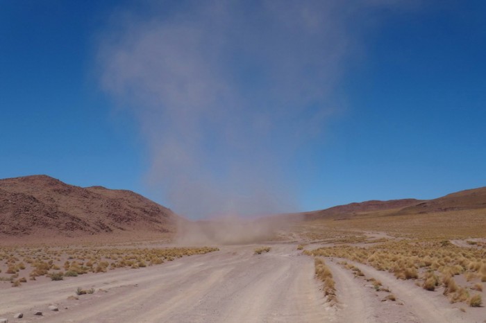
Day 2 of the Laguna Route: Mini twister!
Day 2 of the Laguna Route: Sandy tracks on our way to Laguna Canapa
Day 2 of the Laguna Route: Sandy tracks on our way to Laguna Canapa
Day 2 of the Laguna Route
Day 2 of the Laguna Route
Day 2 of the Laguna Route
Day 2 of the Laguna Route
Day 2 of the Laguna Route
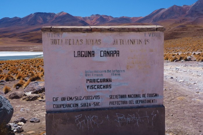
Day 2 of the Laguna Route: Laguna Canapa
Day 2 of the Laguna Route: Laguna Canapa
Day 2 of the Laguna Route: Flamingos at Laguna Canapa
Day 2 of the Laguna Route: Laguna Canapa
Day 2 of the Laguna Route
Day 2 of the Laguna Route: This crafty fox caught a flamingo!
Day 2 of the Laguna Route: Laguna Canapa
Day 2 of the Laguna Route: Laguna Canapa
Day 2 of the Laguna Route: Leaving Laguna Canapa
Day 2 of the Laguna Route: On our way to Laguna Hedionda
Day 2 of the Laguna Route: On our way to Laguna Hedionda
Day 2 of the Laguna Route: On our way to Laguna Hedionda
Day 2 of the Laguna Route: On our way to Laguna Hedionda
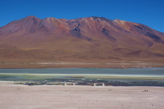
Day 2 of the Laguna Route: Laguna Hedionda
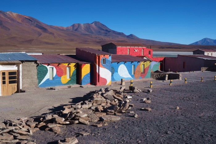
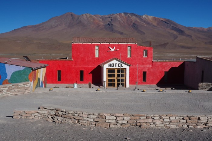
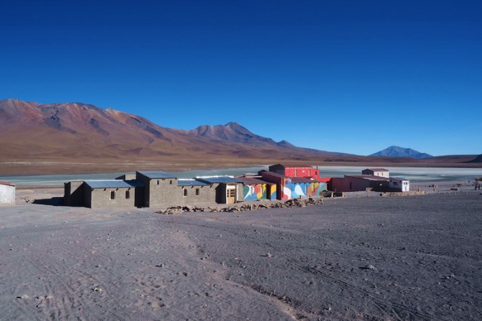
Day 2 of the Laguna Route: Ecolodge de Los Flamingos
Tuesday 15th December: Ecolodge de los Flamingos to Wild camp at rocky outcrop (9kms beyond turnoff to Hotel del Desierto)
In the morning, we treated ourselves to the big Americano Breakfast for 40 B per person. It was wonderful and a great start to the day! We started cycling around 7.30am – my fingers were so cold that they hurt!
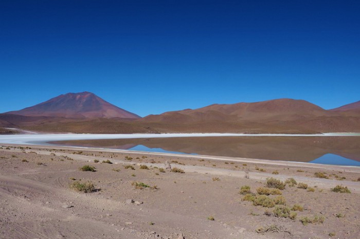
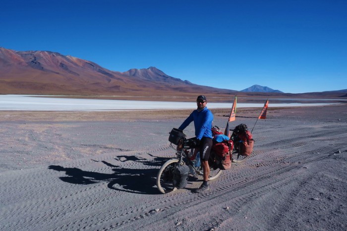
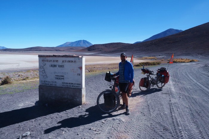
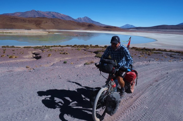
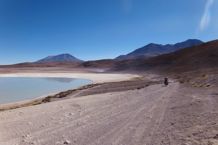
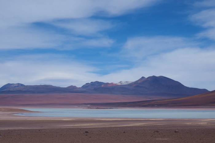
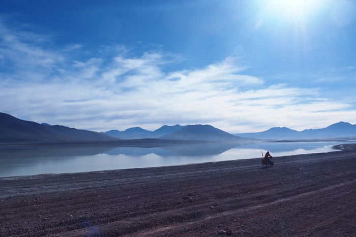
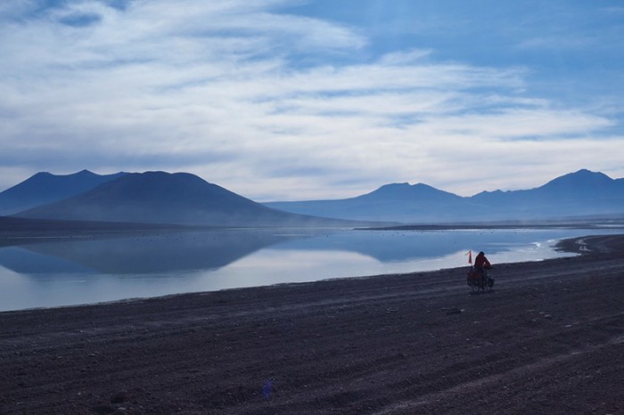
This was probably the hardest day on the Laguna Route and our biggest day of climbing. The day started well with a good road between the lagunas and no wind. My favourite laguna was Laguna Honda, which was a beautiful turquoise colour.
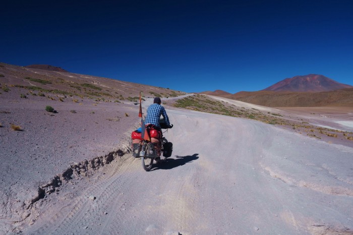
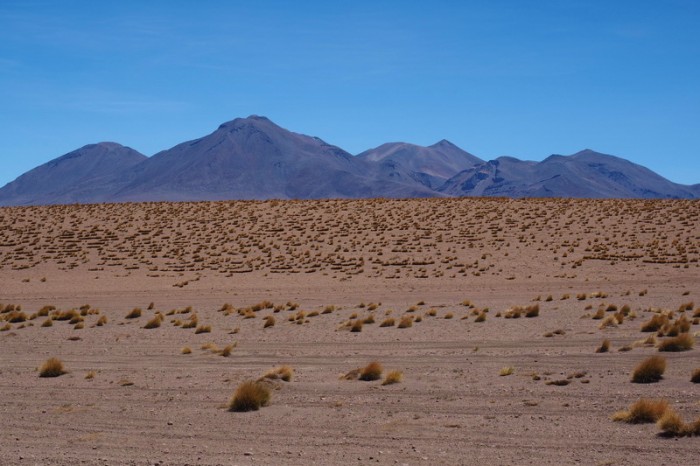
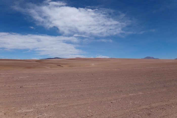
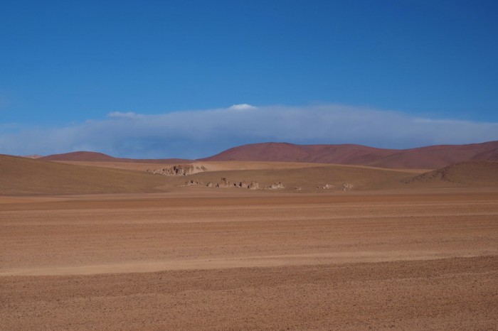
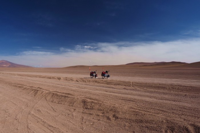
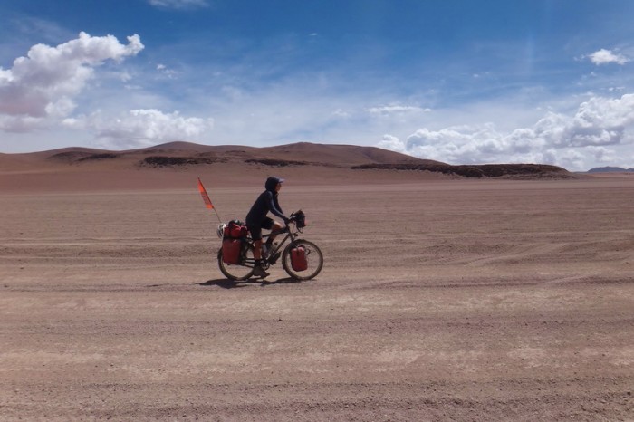
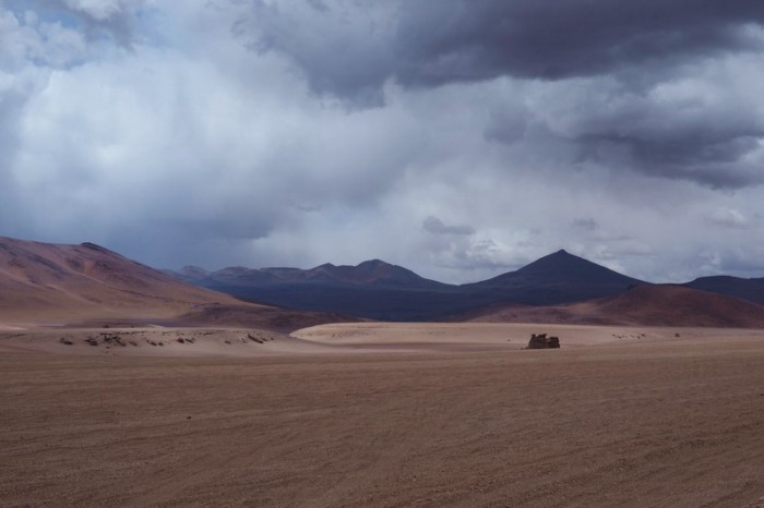
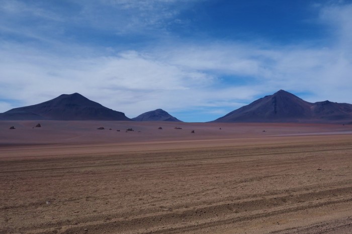
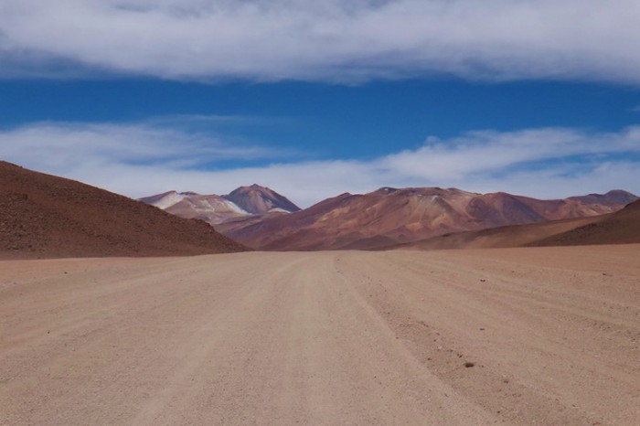
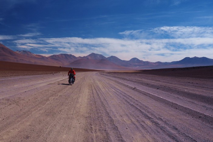
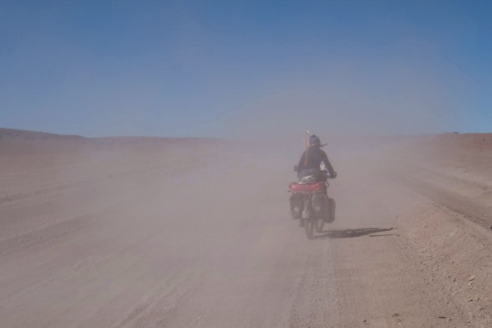
Unfortunately, after the first 20kms, which were quick and easy, the wind started and the quality of the road deteriorated and I had to push a lot. On this stretch it really became apparent that we were cycling through a desert. The scenery was predominantly sand dunes, with the occasional rock formation.
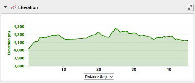
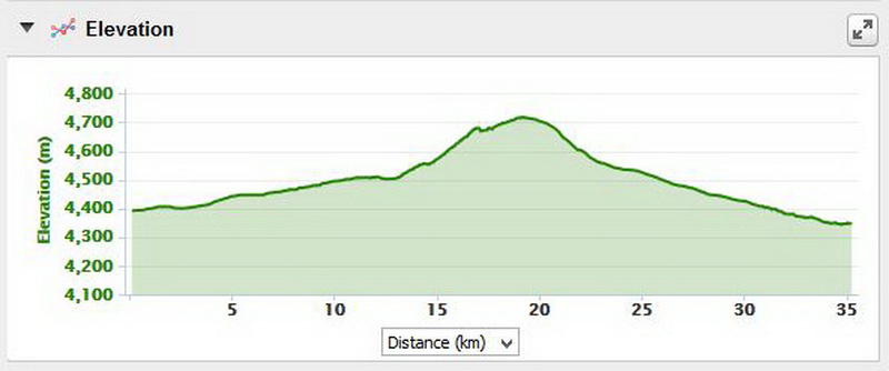
We climbed to a height of 4660m on this day, which was incredibly tough with all of the deep sand.
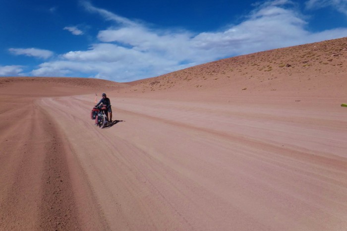
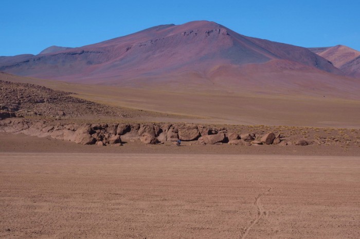
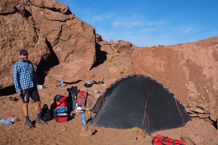
My back was already killing me by the time we reached the turn off to Hotel del Desierto, but we decided to continue onto a rocky outcrop another 9kms away. The road was reasonably good for the next 2kms, but then became very sandy and was pretty un-rideable. Of course, we were also battling a strong headwind, which made everything so much more difficult. The final 4kms to the rocky outcrop seemed like they would never end and I was utterly exhausted when we finally arrived at 6.15pm. I probably ended up pushing for about 30% of the way on this day. David managed much better in the sand and only pushed the last 4 kms into the terrible headwind. When David pushes, you know it’s very tough!
We quickly set up our tent, but the sun had gone down by the time our dinner was ready (mashed potatoes). Once the sun goes down, it is absolutely freezing at this altitude at night – I was shivering the whole way through dinner!
KMs travelled: 44kms
Day 3 of the Laguna Route: Ecolodge de Los Flamingos
Day 3 of the Laguna Route: Ecolodge de Los Flamingos
Day 3 of the Laguna Route: Ecolodge de Los Flamingos
Day 3 of the Laguna Route: Laguna Hedionda
Day 3 of the Laguna Route: Laguna Hedionda
Day 3 of the Laguna Route: Laguna Hedionda
Day 3 of the Laguna Route
Day 3 of the Laguna Route: The roads were very good between the lagunas
Day 3 of the Laguna Route: Pretty laguna
Day 3 of the Laguna Route: The roads were very good between the lagunas
Day 3 of the Laguna Route
Day 3 of the Laguna Route: The roads were very good between the lagunas
Day 3 of the Laguna Route: Laguna Honda
Day 3 of the Laguna Route: David cycling alongside Laguna Honda
Day 3 of the Laguna Route: David cycling alongside Laguna Honda
Day 3 of the Laguna Route: Laguna Honda
Day 3 of the Laguna Route: Cycling beside Laguna Honda
Day 3 of the Laguna Route: Cycling beisde Laguna Honda
Day 3 of the Laguna Route: Laguna Honda
Day 3 of the Laguna Route: Laguna Honda
Day 3 of the Laguna Route
Day 3 of the Laguna Route: Cycling towards Hotel del Desierto – the road was still good here
Day 3 of the Laguna Route: Cycling towards Hotel del Desierto – the road was still good here
Day 3 of the Laguna Route: Cycling towards Hotel del Desierto – the road was still good here
Day 3 of the Laguna Route: Cycling towards Hotel del Desierto – the road was still good here
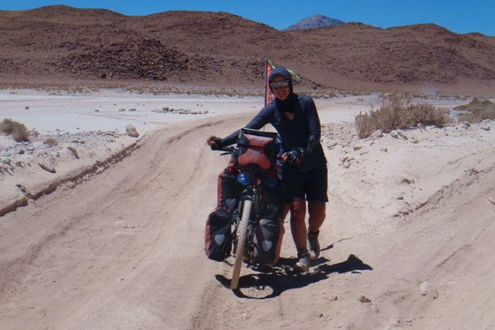
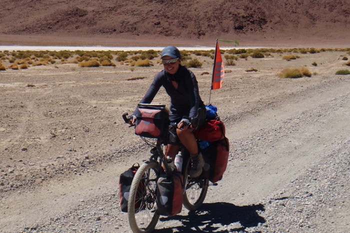
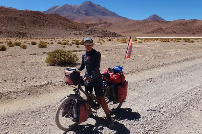
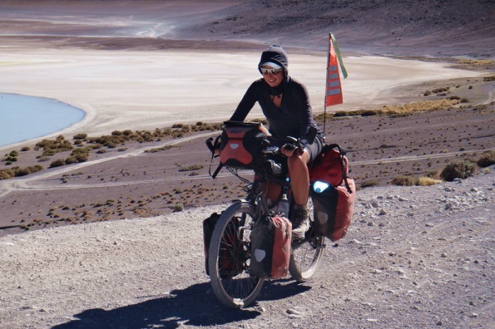
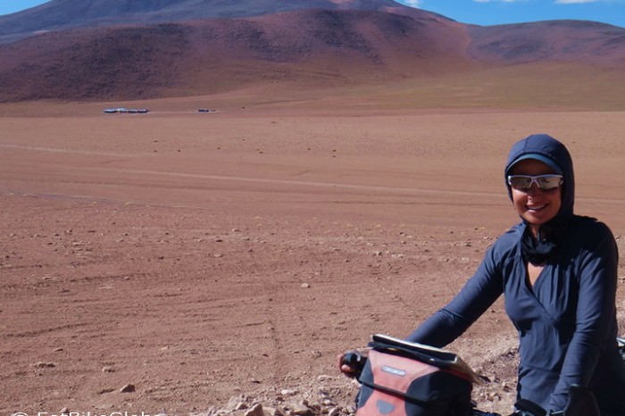
Day 3 of the Laguna Route: All covered up for sun protection
Day 3 of the Laguna Route: Cycling towards Hotel del Desierto – the road was still good here
Day 3 of the Laguna Route: Cycling towards Hotel del Desierto – the road was still good here
Day 3 of the Laguna Route
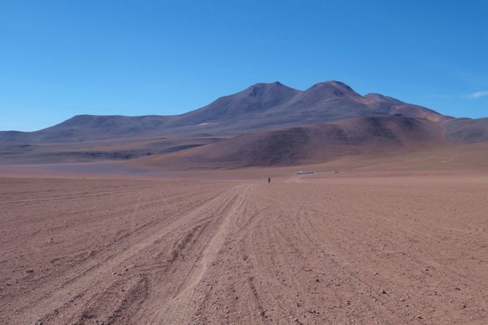
Day 3 of the Laguna Route: Nice desert views
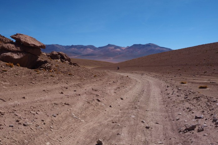
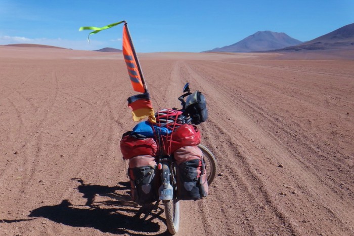
Day 3 of the Laguna Route: The road gradually started to disintegrate into deep sand
Day 3 of the Laguna Route
Day 3 of the Laguna Route: The road gradually started to disintegrate into deep sand
Day 3 of the Laguna Route
Day 3 of the Laguna Route: David cycling up the pass
Day 3 of the Laguna Route: David cycling up the pass
Day 3 of the Laguna Route: Cool rock formations
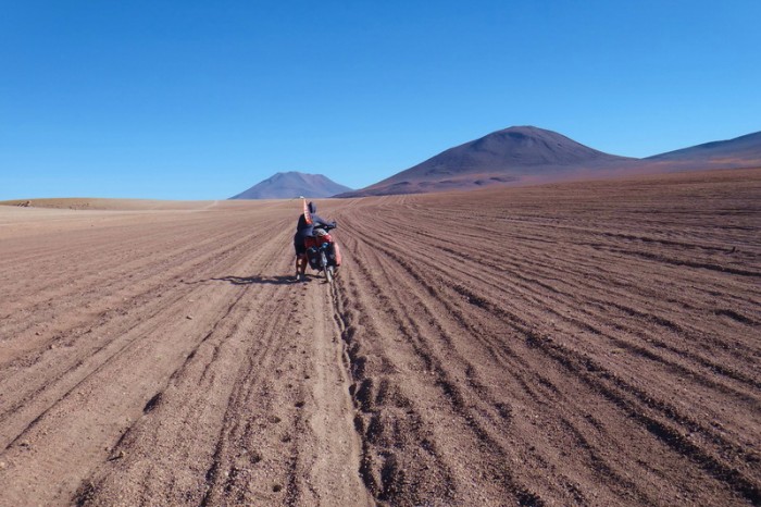
Day 3 of the Laguna Route: Tough going through the desert
Day 3 of the Laguna Route: Tough going through the desert
Day 3 of the Laguna Route
Day 3 of the Laguna Route: Possible shelter if you have a small tent
Day 3 of the Laguna Route: Nearing Hotel del Desierto
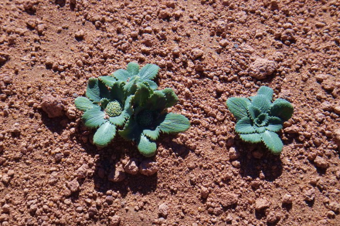
Day 3 of the Laguna Route: Some greenery! What amazing little plants
Day 3 of the Laguna Route: We decided to push onto the rocky outcrop 9km further than Hotel del Desierto … the road was bad
Day 3 of the Laguna Route: Hotel del Desierto in the distance
Day 3 of the Laguna Route: We decided to push onto the rocky outcrop 9km further than Hotel del Desierto … the road was bad
Day 3 of the Laguna Route: We decided to push onto the rocky outcrop 9km further than Hotel del Desierto … the road was bad
Day 3 of the Laguna Route: We decided to push onto the rocky outcrop 9km further than Hotel del Desierto … the road was bad
Day 3 of the Laguna Route: We decided to push onto the rocky outcrop 9km further than Hotel del Desierto … the road was bad
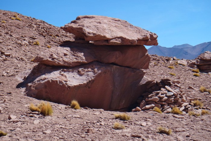
Day 3 of the Laguna Route: Lovely rock formations in the desert
Day 3 of the Laguna Route: Our campsite at the rocky outcrop
Day 3 of the Laguna Route: Our campsite at the rocky outcrop
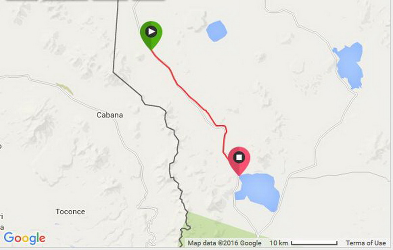
Wednesday 16th December: Wild camp at rocky outcrop (9kms beyond turnoff to Hotel del Desierto) to Laguna Colorado
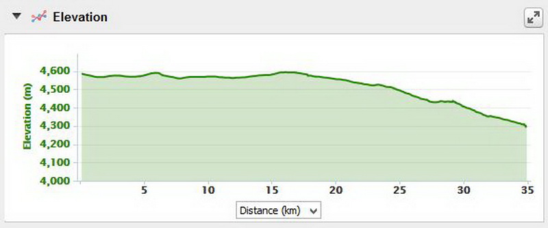
There was much less climbing today, but still a LOT of sand.
After the tough day before, we slept in a little and didn’t hit the road until around 8am. Be aware some jeeps seem to use the rocky outcrop where we camped as a rest/breakfast stop. They didn’t stop exactly where we were camped, but they weren’t too far away.
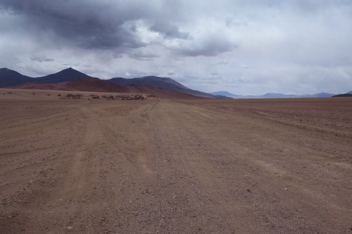
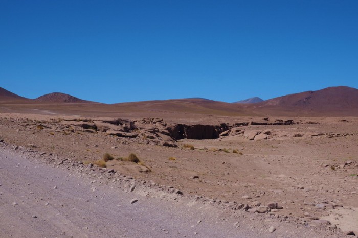
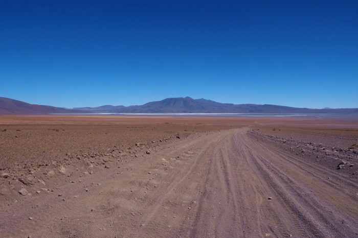
From our campsite at the rocky outcrop to the abandoned house about 10kms further, the road continued to be in bad condition. It was meant to improve after this … but didn’t really. We changed tracks constantly, trying to find a firm surface to ride on.
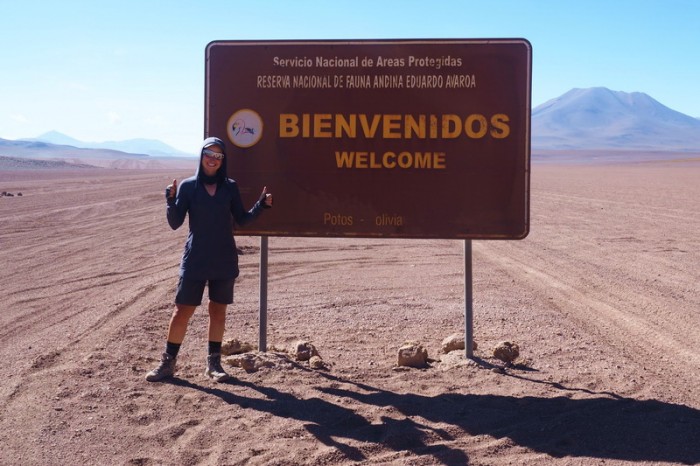
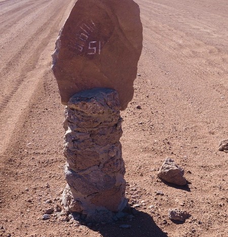
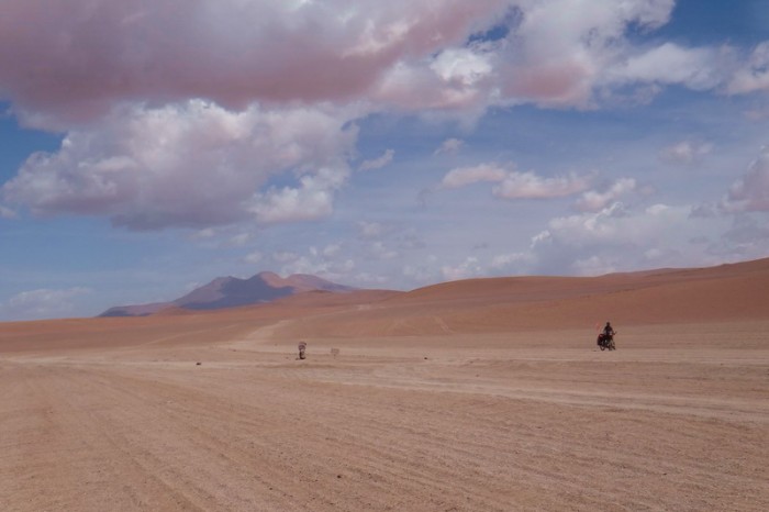
On this stretch, we crossed into the Eduardo Avaroa Andean Fauna National Reserve. The park has a number of kilometer markers, which we initially mistook for distant cyclists! David sped up to have a chat with them! We had a good laugh when we realized our mistake! ![]()
Between the abandoned house and the Arbol de Piedra we were stopped by a jeep and one of the tourists got out with a big bottle of water and filled up our water bottles! How nice is that?! Some people are so thoughtful – it really lifted our spirits! ![]()
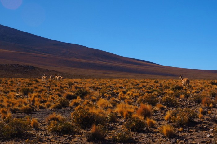
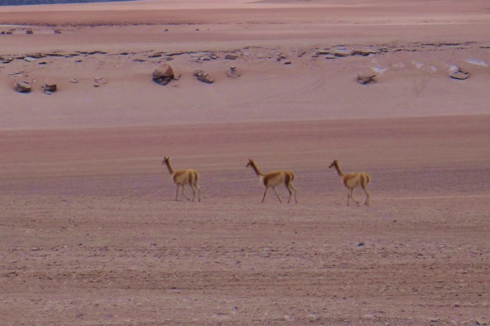
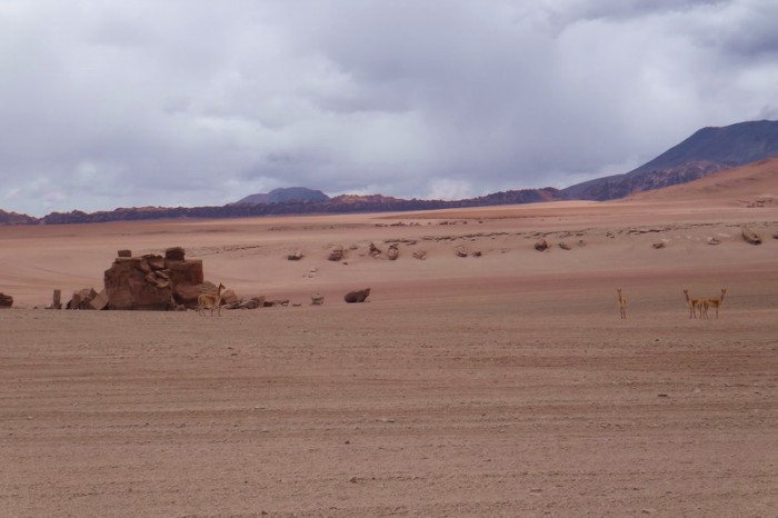
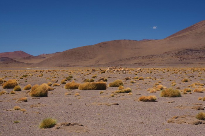
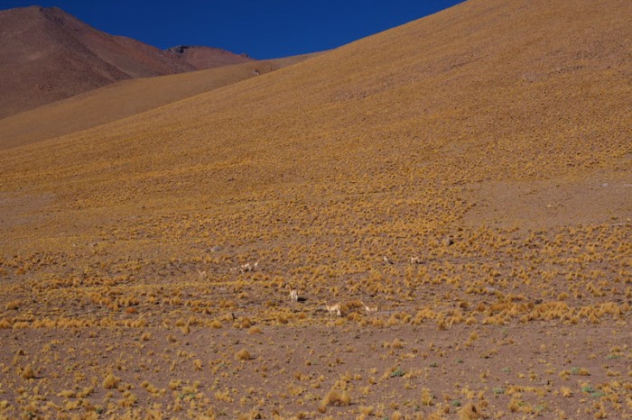
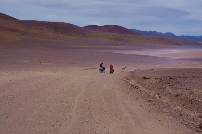
Just before we reached the Arbol de Piedra, we saw a herd of vicuñas. It is amazing that they manage to survive in this barren environment.
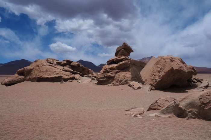
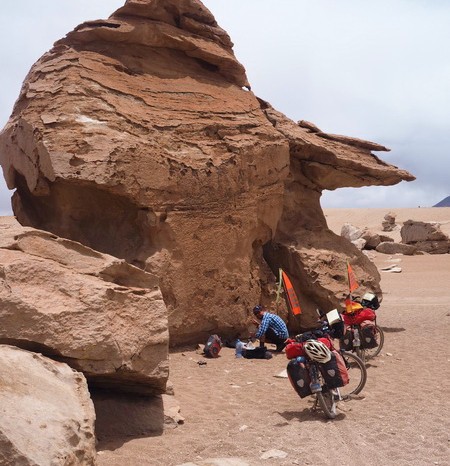
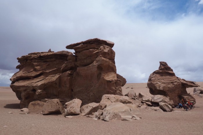
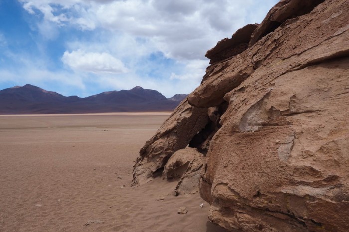
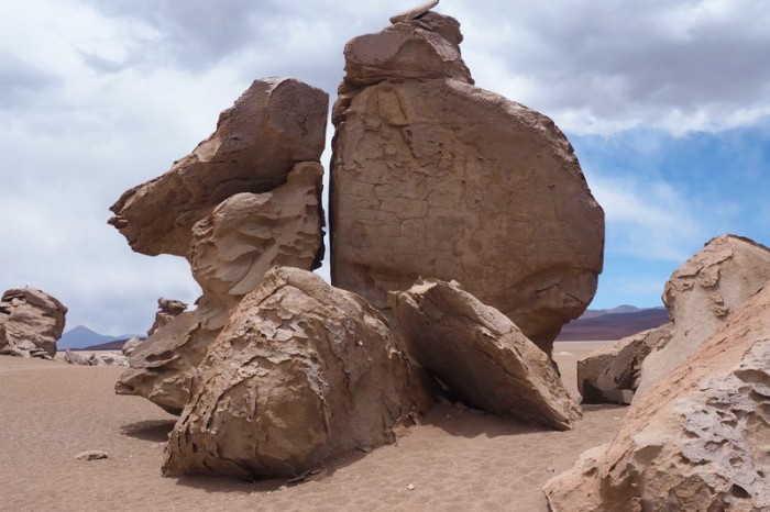
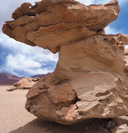
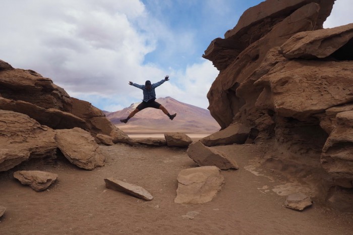
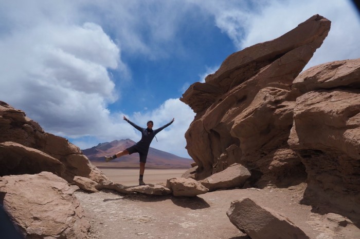
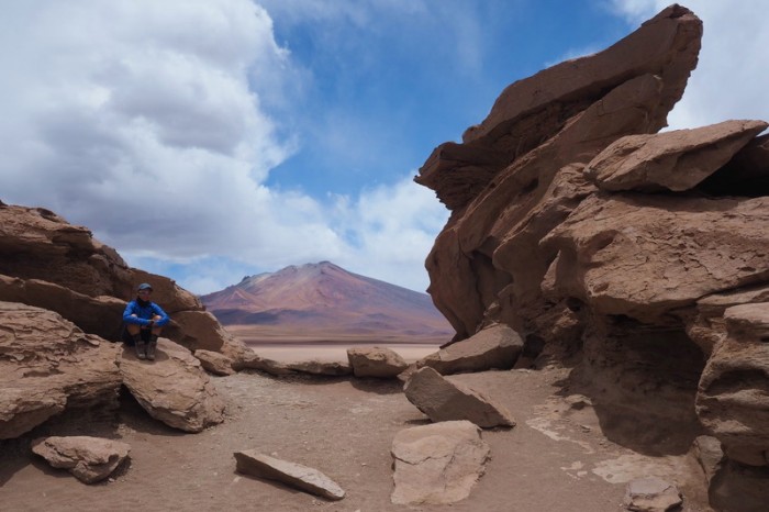
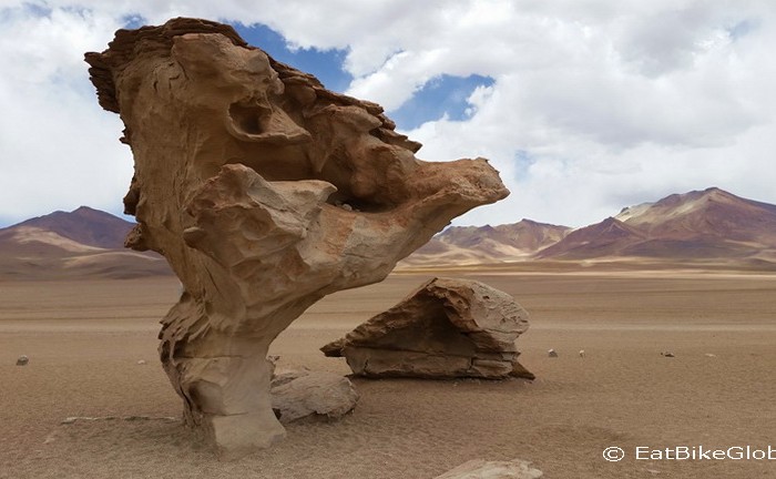
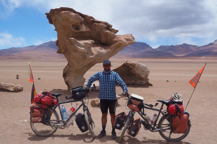
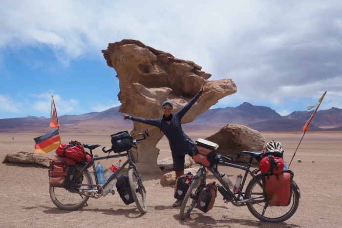
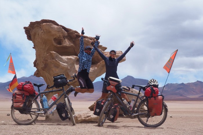
We reached the Árbol de Piedra (the stone tree) around 12pm and were amazed to see that we had the place to ourselves. I really LOVED it here and would have been very happy to camp here among the wind swept rock formations. David made us a hot lunch, while I took photos. I was quite impressed with Arbol de Piedra (and with the entire Eduardo Avaroa Andean Fauna National Reserve, really). There was no litter around and thought had clearly gone into placing the amenities out of sight. Good work Bolivia! We took some photos together at the Arbol de Piedra and then pressed onto Laguna Colorado.
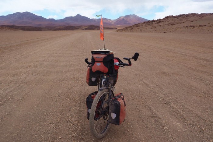
From Arbol de Piedra the road continued to be in pretty bad shape, but now we had a tail wind – yeah! We cycled most parts, but sometimes there was nothing we could do but push through the deep sand.
We reached Laguna Colorado around 3pm (thank you tailwind!) and paid the park entrance fee in the office (150B per person). From here we had originally planned to make a detour to the town of Quetena Chico, so that David could cycle up the mine track at Uturuncu (over 6000m) – one of the highest roads ever built, up to 5700m. But, he was having such terrible toothache, that he decided not to attempt the climb and instead, try to get to San Pedro de Atacama and a dentist as soon as possible.
We made inquiries for a room at the two rather average refugios near the park gate. We found the people at the 1st refugio a little weird, so we ended up getting a room at the 2nd refugio for 60B. The family who run the place were very nice, in particular the Dad and his two friendly little girls. A hot shower is not included in the room rate here, nor is a power point!! We paid an extra 15B each for a hot shower and an extra 5B per device to charge our electronics. Both refugios have little shops were you can buy basic supplies, like pasta, chocolate, biscuits, beer and water. We also managed to get some eggs for a hot breakfast the next day! We cooked all of our own meals in an indoor area, near the drivers’ rooms. We weren’t allowed to store our bikes in our room, but we were able to put them inside the common area near our room.
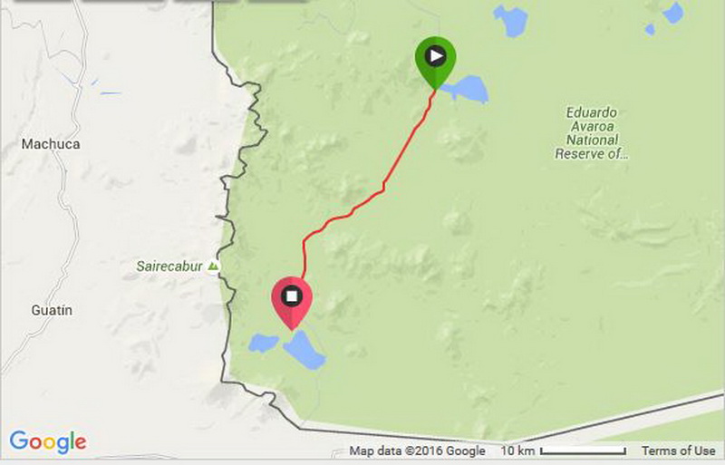
KMs travelled: 35km
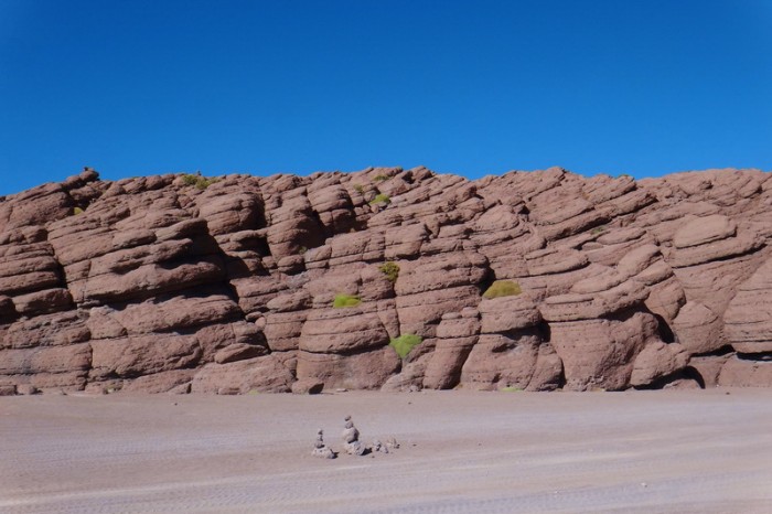
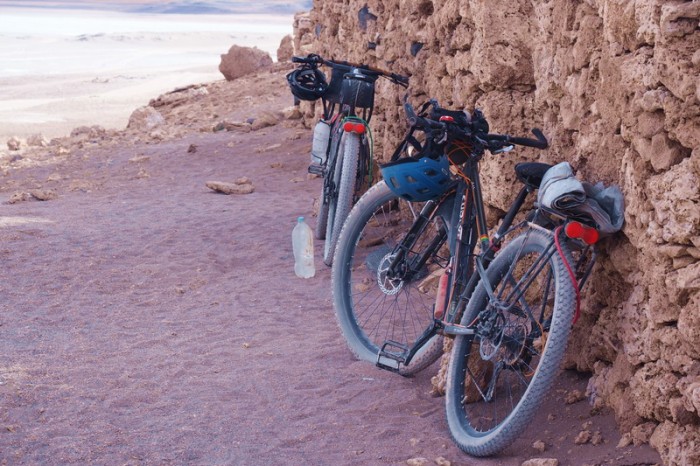
Day 4 of the Laguna Route: The rocky outcrop … be aware that the 4WDs stop here too
Day 4 of the Laguna Route: We made it to the park border!
Day 4 of the Laguna Route
Day 4 of the Laguna Route
Day 4 of the Laguna Route: These mile markers look like people from a distance!
Day 4 of the Laguna Route
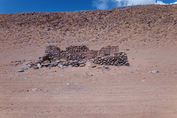
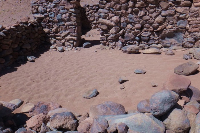
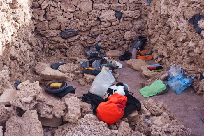
Day 4 of the Laguna Route: These ruins could house a small-medium size tent
Day 4 of the Laguna Route: These ruins could house a small-medium size tent
Day 4 of the Laguna Route
Day 4 of the Laguna Route: On our way to Arbol de Piedra (Stone Tree)
Day 4 of the Laguna Route: On our way to Arbol de Piedra (Stone Tree)
Day 4 of the Laguna Route: On our way to Arbol de Piedra (Stone Tree)
Day 4 of the Laguna Route: On our way to Arbol de Piedra (Stone Tree)
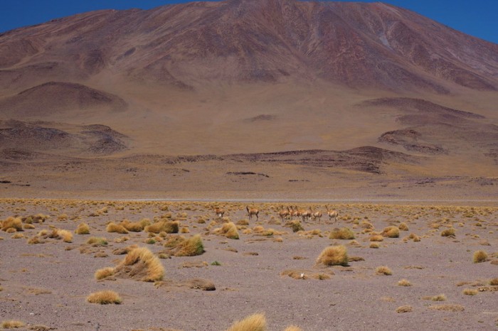
Day 4 of the Laguna Route: Vicunas
Day 4 of the Laguna Route: Vicunas
Day 4 of the Laguna Route: The turnoff to Arbol de Piedra
Day 4 of the Laguna Route: Rock formations near Arbol de Piedra
Day 4 of the Laguna Route: Rock formations near Arbol de Piedra
Day 4 of the Laguna Route: David making us a hot lunch near the Arbol de Piedra
Day 4 of the Laguna Route: Rock formations near Arbol de Piedra
Day 4 of the Laguna Route: Rock formations near Arbol de Piedra
Day 4 of the Laguna Route: Rock formations near Arbol de Piedra
Day 4 of the Laguna Route: Rock formations near Arbol de Piedra
Day 4 of the Laguna Route: Rock formations near Arbol de Piedra
Day 4 of the Laguna Route: Rock formations near Arbol de Piedra
Day 4 of the Laguna Route: Rock formations near Arbol de Piedra
Day 4 of the Laguna Route: Arbol de Piedra
Day 4 of the Laguna Route: Arbol de Piedra
Day 4 of the Laguna Route: Arbol de Piedra
Day 4 of the Laguna Route: Arbol de Piedra
Day 4 of the Laguna Route: On our way to Laguna Colorado
Day 4 of the Laguna Route: On our way to Laguna Colorado
Day 4 of the Laguna Route: On our way to Laguna Colorado
Day 4 of the Laguna Route: On our way to Laguna Colorado
Day 4 of the Laguna Route: On our way to Laguna Colorado
Day 4 of the Laguna Route: On our way to Laguna Colorado
Day 4 of the Laguna Route: On our way to Laguna Colorado
Day 4 of the Laguna Route: On our way to Laguna Colorado
Day 4 of the Laguna Route: On our way to Laguna Colorado
Day 4 of the Laguna Route: On our way to Laguna Colorado
Day 4 of the Laguna Route: On our way to Laguna Colorado
Day 4 of the Laguna Route: On our way to Laguna Colorado
Day 4 of the Laguna Route: On our way to Laguna Colorado
Day 4 of the Laguna Route: On our way to Laguna Colorado
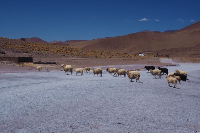
Day 4 of the Laguna Route: Sheep at Laguna Colorado
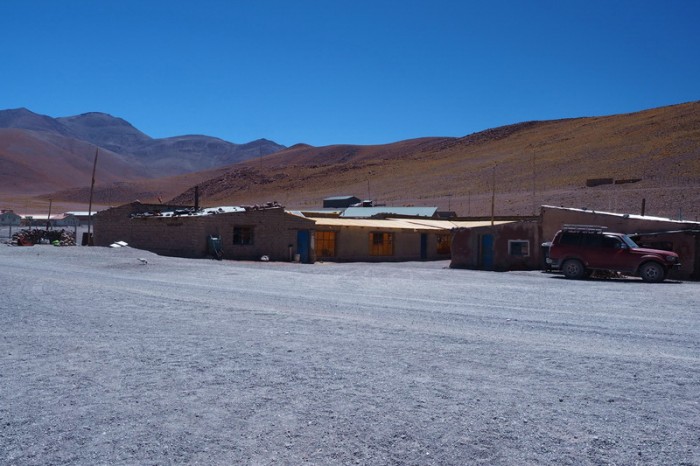
Day 4 of the Laguna Route: The pretty average refugios at Laguna Colorado
Thursday 17th December: Rest day at Laguna Colorado
We decided to take a much needed rest day on this day, which was great because we met up with Vincent and Mylene. They had started a day behind us, but were much faster in the sand on their fat bikes. They preferred to camp at Laguna Colorado and found a great campsite in a canyon at the other end of the laguna, before the big climb.
David was feeling sick (a possible side effect from the painkillers that he was taking for the toothache) that afternoon and slept for most of it, while I went for a walk to Laguna Colorado to watch the flamingos until the next jeep loads of tourists arrived!
Day 5 of the Laguna Route: The pretty average refugios at Laguna Colorado
Day 5 of the Laguna Route: Vicunas near Laguna Colorado
Day 5 of the Laguna Route: Vicunas near Laguna Colorado
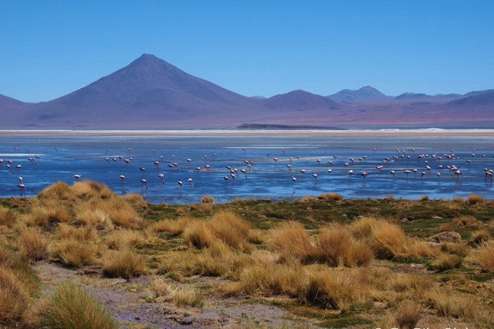
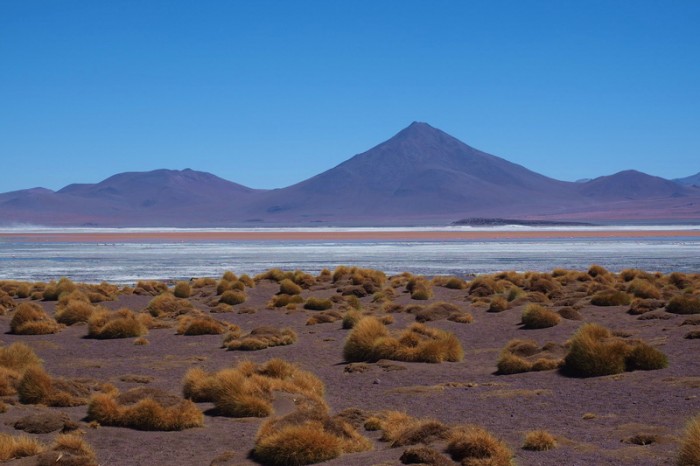
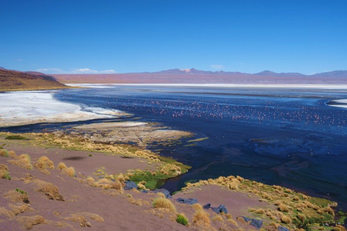
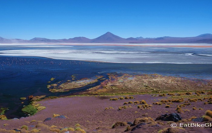
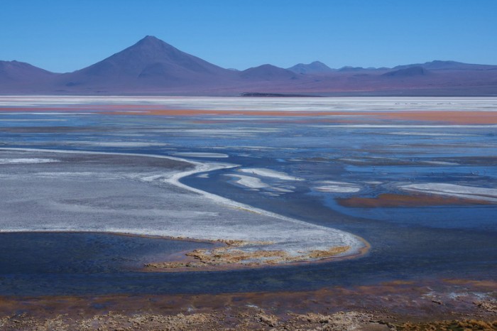
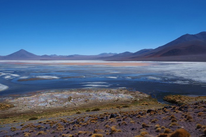
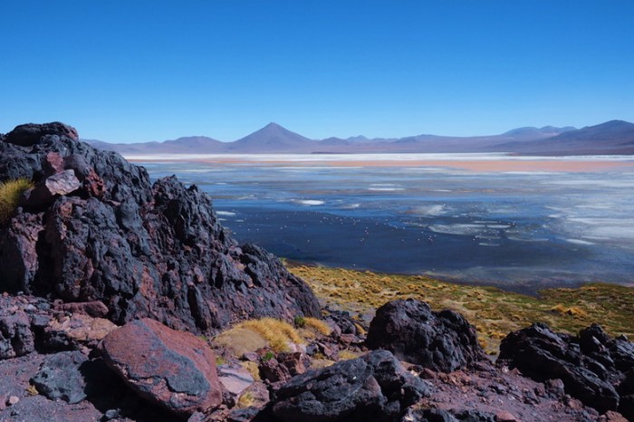
Day 5 of the Laguna Route: Laguna Colorado
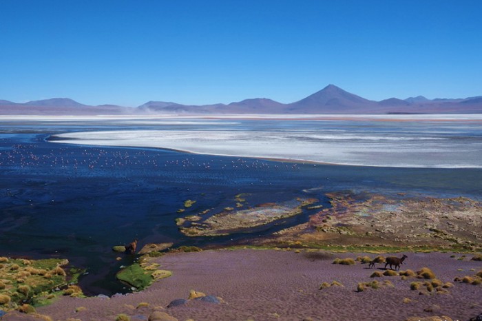
Day 5 of the Laguna Route: Laguna Colorado and flamingos
Day 5 of the Laguna Route: Laguna Colorado
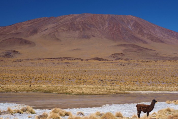
Day 5 of the Laguna Route: Llama near Laguna Colorado
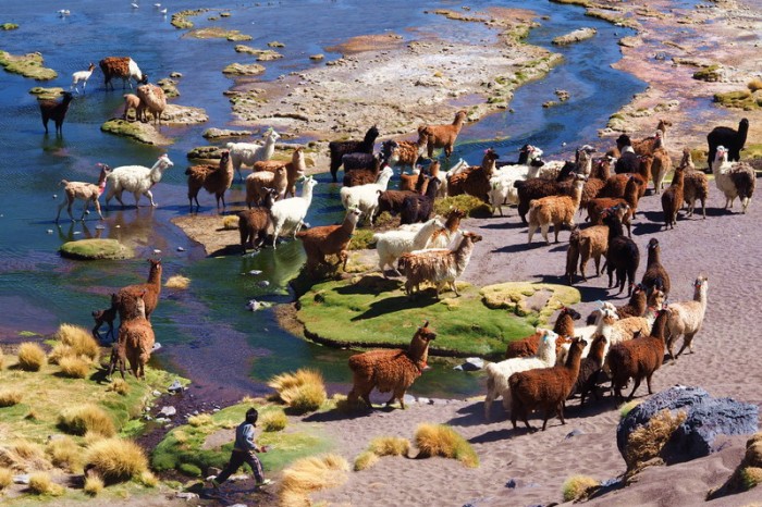
Day 5 of the Laguna Route: Llamas crossing Laguna Colorado
Day 5 of the Laguna Route: Laguna Colorado
Day 5 of the Laguna Route: Laguna Colorado
Day 5 of the Laguna Route: Laguna Colorado
Day 5 of the Laguna Route: Laguna Colorado
Day 5 of the Laguna Route: Laguna Colorado
Day 5 of the Laguna Route: Laguna Colorado
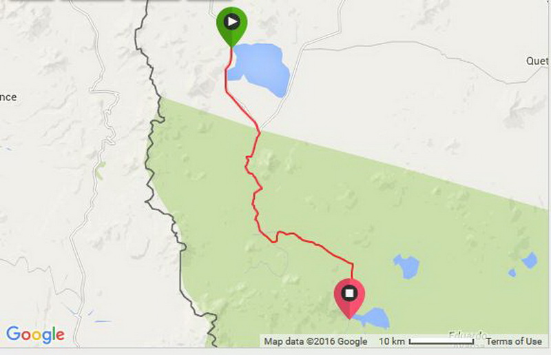
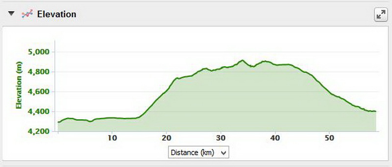
Friday 18th December: Laguna Colorado to Wild camp at Laguna de Chalviri
Our goal today was to reach Laguna de Chalviri and the hot springs, where our friends Vincent and Mylene were planning to stay. We weren’t sure if we could make it, as it was 59kms away, a huge day for us on the sand, without fat bikes…
Thankfully the tour groups get up around 5am, so it was easy for us to get an early start. We were up and on the road before 7am, wearing our warmest clothing until the temperatures warmed up a bit!
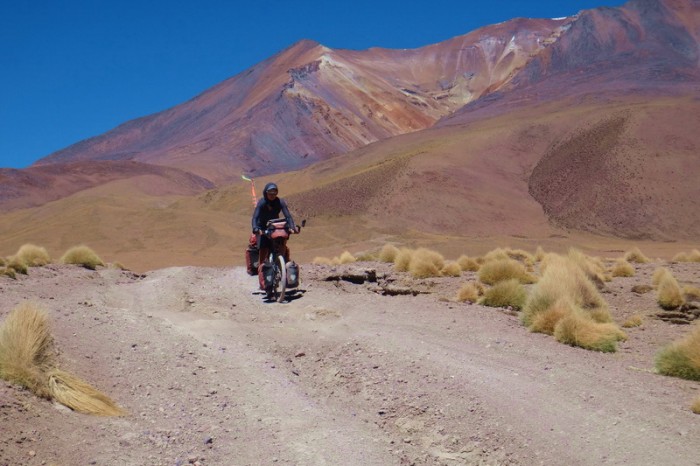
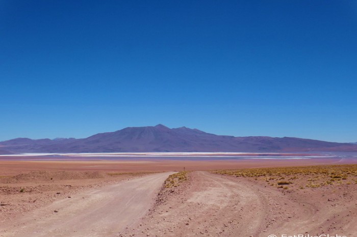
The first section around Laguna Colorado was probably the worst. It was very sandy and I had to push a lot. But, to our surprise the big climb was quite good. There were some smooth rock sections (like pavement) and we managed to cycle almost the whole way up the mountain to the pass. But, cycling over 4900m was tough and we pushed the last kilometer to the top. Thankfully, there was very little traffic while we were making the ascent; we were only passed by a couple of jeeps.
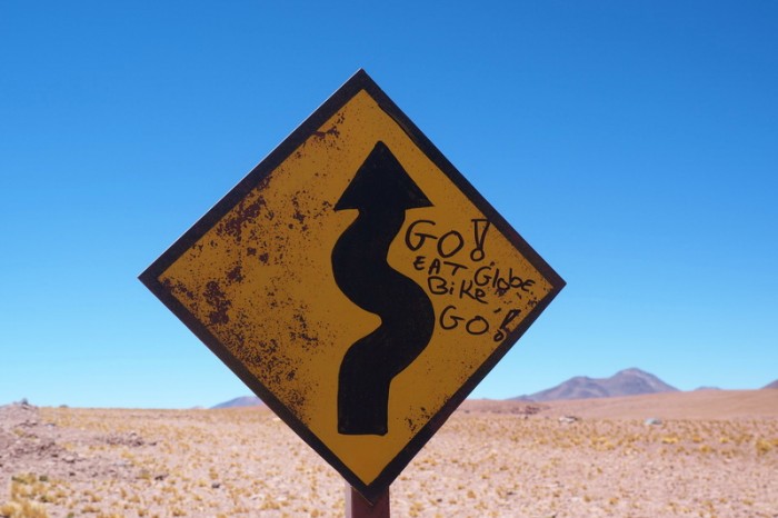
Almost at the top of the pass I looked up and saw a yellow road sign and realised that someone had left a message of encouragement for us: “Go Eat Bike Globe Go”! Our new French friends Vincent and Mylene were a few hours ahead and had left the message for us. It was an incredible boost and really helped to power us to the top of the mountain, despite the thin air! ![]()
From the top of the pass the road was sandy, rocky and undulating. We made our way slowly to the Sol de Manana geysers, choosing the firmest tracks. From the turn off to the geysers the road improved dramatically and we were able to cycle the whole way. Unfortunately, David got a pinch flat on the descent to the geysers! He went too fast over the rocks on his deflated tyres. ![]()
It was 2pm by the time we reached the geysers and we were starving. David fixed his tyre and made us a hot lunch (2 minute noodles), while I snapped some photographs.
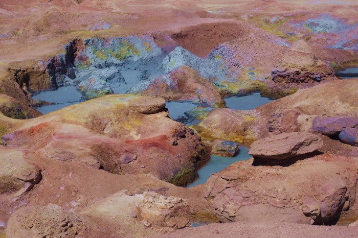
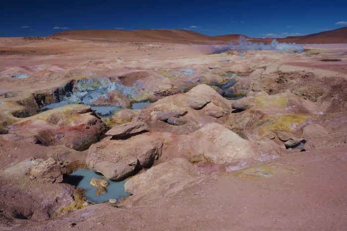
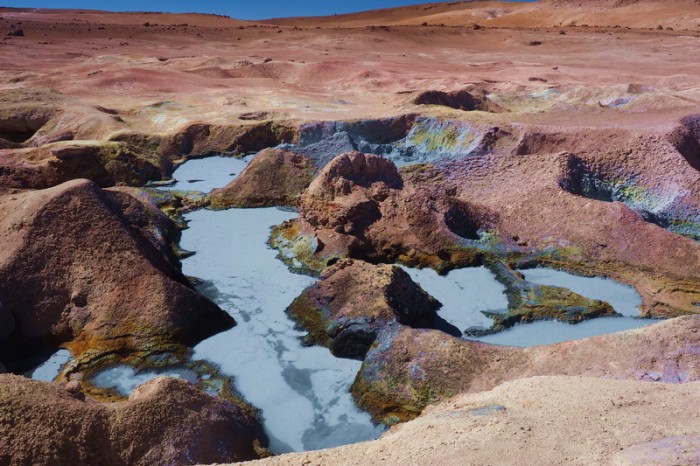
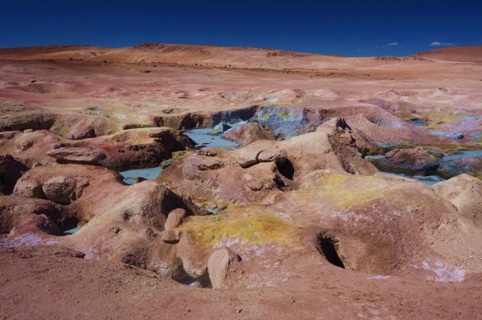
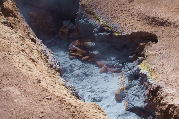
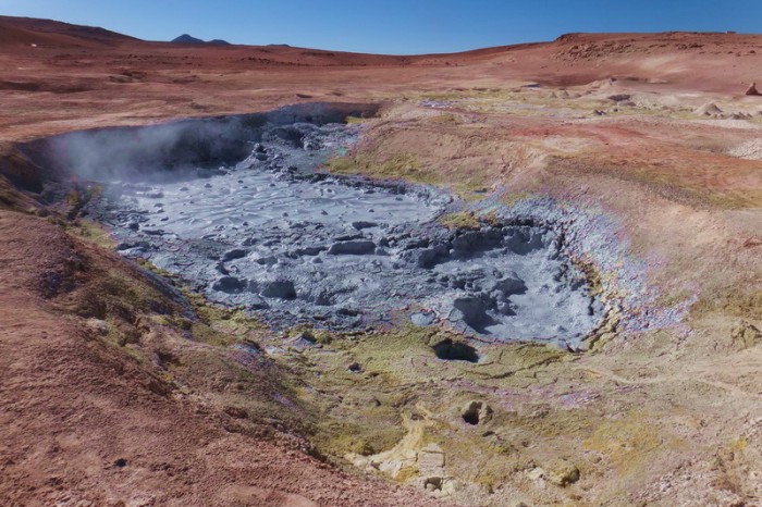
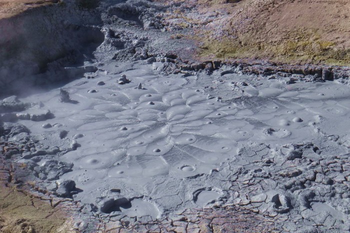
The geysers at Sol de Manana were a real highlight – the colours were absolutely amazing! The small detour is definitely worth it. The geysers themselves are no doubt more spectacular at sunrise, when the air is coldest, but the colours were wonderful in the afternoon sun.
We contemplated camping at the geysers, as it was after 3.30pm by the time we had had lunch and fixed David’s tyre. But, David’s toothache was worse at this altitude, so we decided to continue onto Laguna de Chalviri.
Thankfully, the dirt road from Sol de Manana to Laguna de Chalviri was in surprisingly good condition. It appeared to have been graded recently. It took us about 2.5 hours to cycle the additional 22kms to the Laguna, which was almost entirely downhill. Unfortunately, David got another flat tyre a couple of kilometers from the Laguna. ![]()
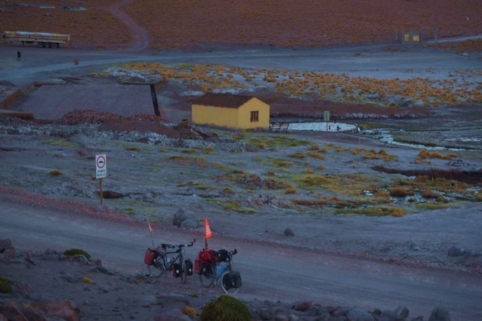
We arrived at the Laguna around 6.30pm. Vincent and Mylene were camping on the mountainside overlooking the Laguna, as the locals hadn’t been particularly welcoming to them. We set up our tent next to theirs, had some dinner and then went for a soak in the hot springs. The hot springs were amazing by starlight and we could see a massive thunderstorm on the horizon, with lots of lightening. The locals told us not to worry though, as the storm was in Argentina and there wouldn’t be any rain here for another 2 months!
Day 6 of the Laguna Route: Laguna Colorado
Day 6 of the Laguna Route: Cycling along Laguna Colorado … the road was pretty bad
Day 6 of the Laguna Route: Cycling along Laguna Colorado
Day 6 of the Laguna Route: Vicunas near Laguna Colorado
Day 6 of the Laguna Route: There is a canyon near the end of Laguna Colorado, which makes a great campsite
Day 6 of the Laguna Route: Climbing away from Laguna Colorado the road started to improve
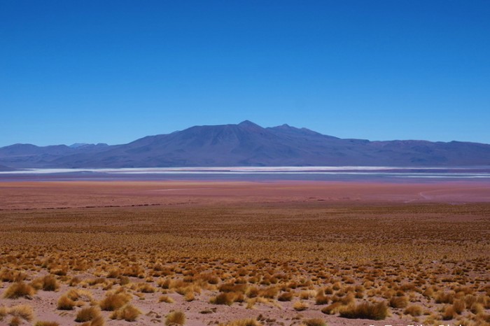
Day 6 of the Laguna Route: Views of Laguna Colorado from the climb
Day 6 of the Laguna Route: Views of Laguna Colorado from the climb
Day 6 of the Laguna Route: Views of Laguna Colorado
Day 6 of the Laguna Route: Our friends left us a message of encouragement!
Day 6 of the Laguna Route: Gorgeous Sol de Manana
Day 6 of the Laguna Route: Gorgeous Sol de Manana
Day 6 of the Laguna Route: Gorgeous Sol de Manana
Day 6 of the Laguna Route: Gorgeous Sol de Manana
Day 6 of the Laguna Route: Gorgeous Sol de Manana
Day 6 of the Laguna Route: Gorgeous Sol de Manana
Day 6 of the Laguna Route: Gorgeous Sol de Manana
Day 6 of the Laguna Route: The descent to Laguna de Chalviri was quick on an excellent dirt road!
Day 6 of the Laguna Route: The descent to Laguna de Chalviri was quick on an excellent dirt road!
Day 6 of the Laguna Route: The descent to Laguna de Chalviri was quick on an excellent dirt road!
Day 6 of the Laguna Route: Laguna de Chalviri
Day 6 of the Laguna Route: Laguna de Chalviri
Day 6 of the Laguna Route: Laguna de Chalviri
Day 6 of the Laguna Route: Hot springs at Laguna de Chalviri
Day 6 of the Laguna Route: Sunset over Laguna de Chalviri
Day 6 of the Laguna Route: Sunset over Laguna de Chalviri
Saturday 19th December: Wild camp at Laguna de Chalviri to Abandoned Buildings near Laguna Blanca
This was a tough, but fun, day cycling with Vincent and Mylene.
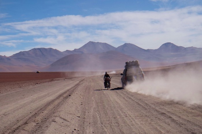
The road was in good condition to the top of the pass. Unfortunately, a good road means lots of traffic. We were passed by numerous jeeps and about 5 trucks. They were all travelling at high speeds, creating a lot of dust. It was a bit scary at times.
The wind was absolutely terrible on this day – we endured a crazily strong headwind from about 8.30am. Inching my way slowly to the top of the pass, the wind was blowing sand and rocks into my face. It was so strong that whenever I stopped for a break, I had real trouble trying to start cycling again on the incline. I ended up pushing the last kilometer or so to the top of the pass, due to the wind.
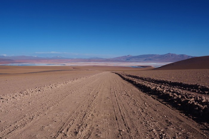
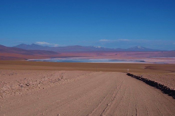
After the pass, the quality of the road deteriorated somewhat and became quite sandy. We changed tracks constantly trying to find a firm path to ride on. Thankfully, most of it was cyclable though and it was almost all downhill.
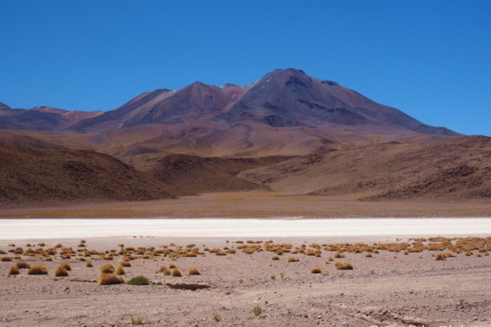
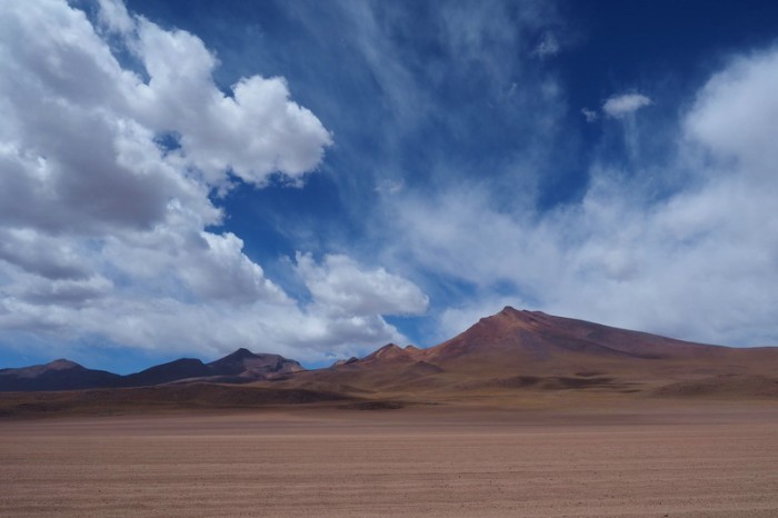
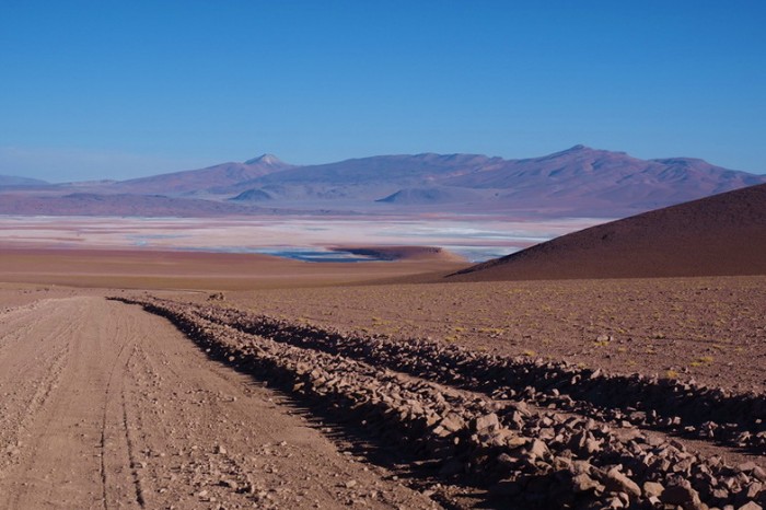
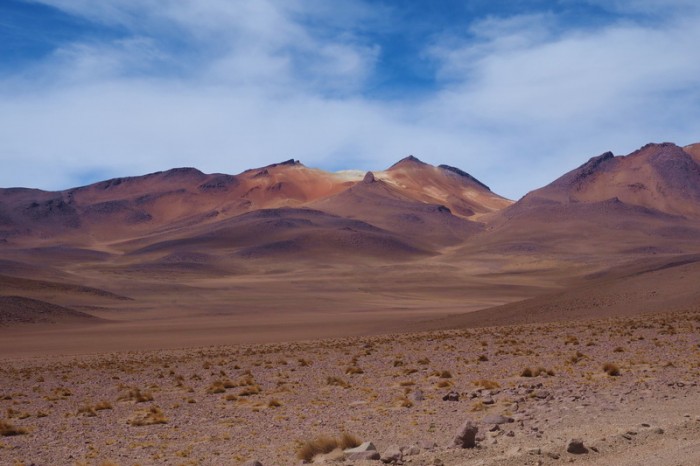
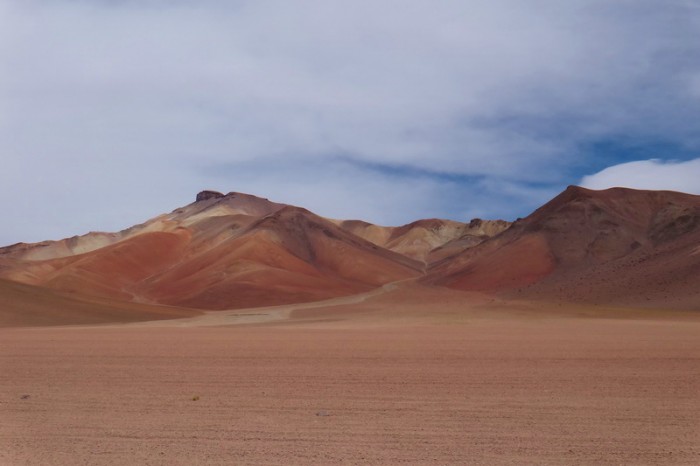
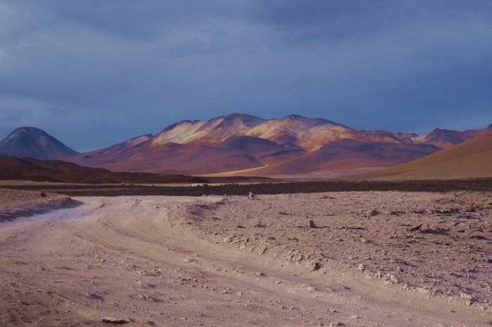
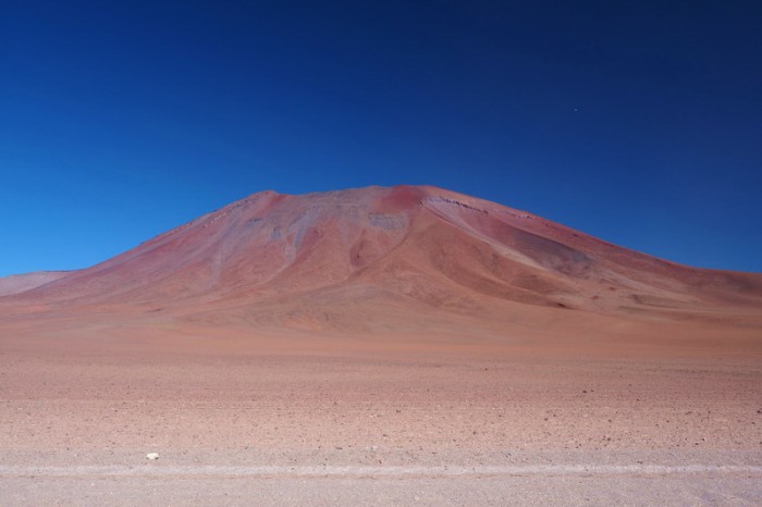
Despite the wind, we did manage to appreciate the beautiful landscape that we were riding through. The desert colours were stunning.
At one point, David tried out Vincent’s “super light” fat bike and had great fun riding “on top” of the sand instead of through it!
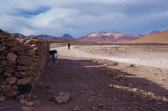
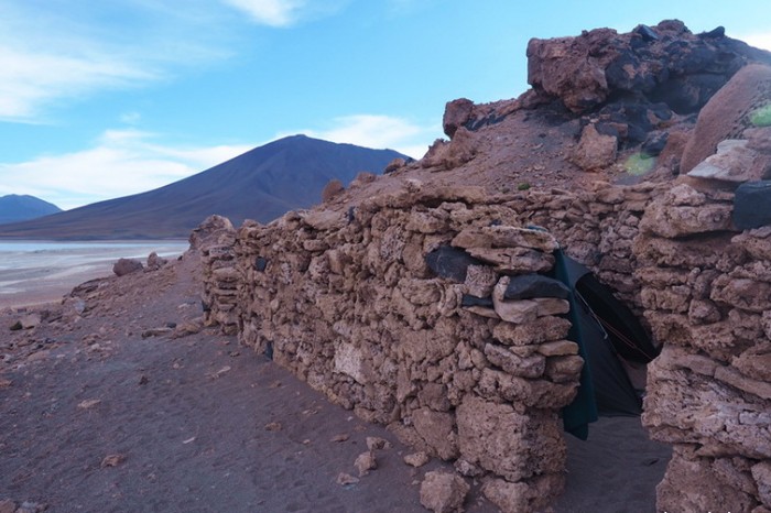
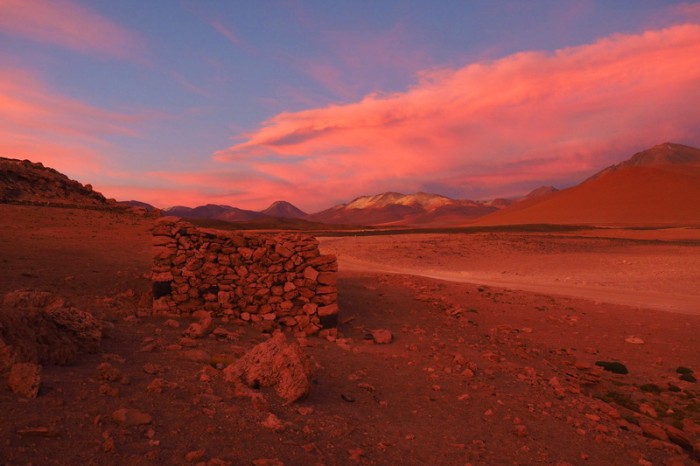
We found a good campsite in an abandoned house on the edge of Laguna Blanca – it made a wonderful wind break. The house had 4 rooms, so we each had one room for our tent and used one room as our “kitchen/dining room”.
We had some great meals here as we were all trying to finish anything in our panniers with vegetables, in preparation for passing through Chilean customs the following day.
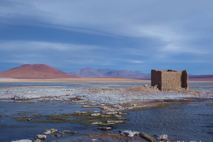
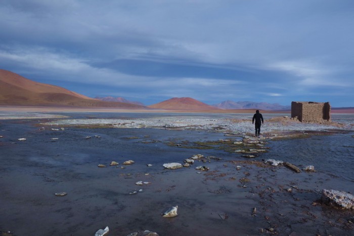
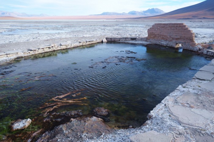
In the afternoon, David and I explored the area around Laguna Blanca and discovered some abandoned hot springs! We didn’t go swimming though, in case there was a reason that they had been abandoned (i.e. contamination).
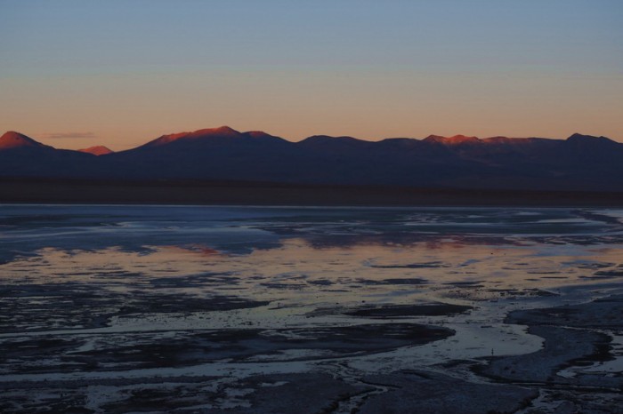
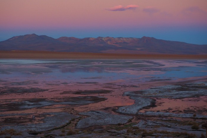
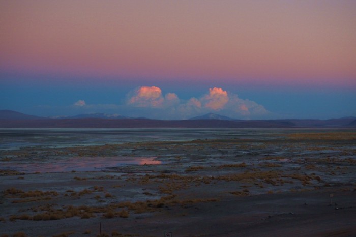
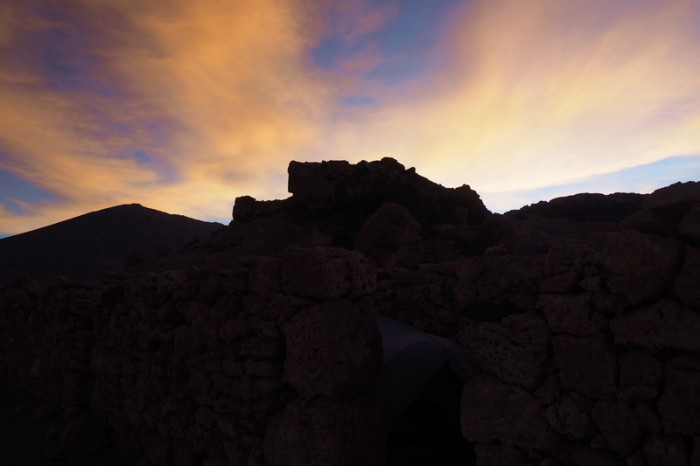
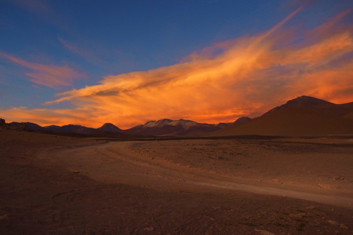
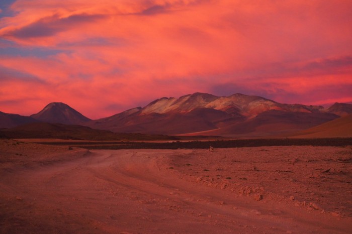
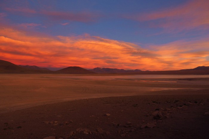
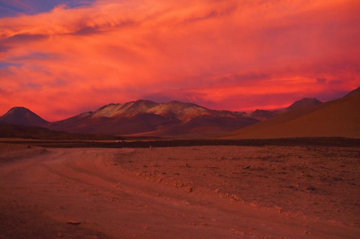
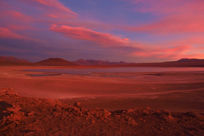
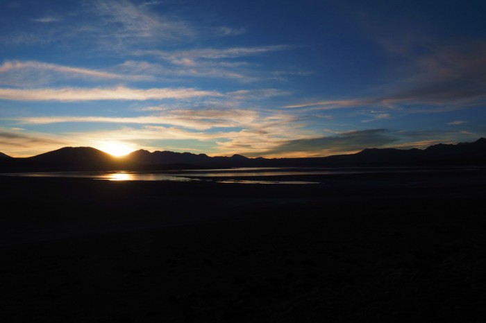
We cooked dinner together, watching the incredible sunset!
KMs travelled: 36km
Day 7 of the Laguna Route: This playful dog entertained us while we packed up camp
Day 7 of the Laguna Route: Vincent and Mylene ready to hit the road
Day 7 of the Laguna Route: Beautiful scenery on the way to Lagunas Verde and Blanca
Day 7 of the Laguna Route: Jo and Mylene on the way to Lagunas Verde and Blanca
Day 7 of the Laguna Route: Mylene on the way to Lagunas Verde and Blanca
Day 7 of the Laguna Route: Beautiful scenery on the way to Lagunas Verde and Blanca
Day 7 of the Laguna Route: Beautiful scenery on the way to Lagunas Verde and Blanca
Day 7 of the Laguna Route: We endured a crazy headwind all the way to Lagunas Verde and Blanca
Day 7 of the Laguna Route: Beautiful scenery on the way to Lagunas Verde and Blanca
Day 7 of the Laguna Route: Beautiful scenery on the way to Lagunas Verde and Blanca
Day 7 of the Laguna Route: Beautiful scenery on the way to Lagunas Verde and Blanca
Day 7 of the Laguna Route: Vicunas on the way to Lagunas Verde and Blanca
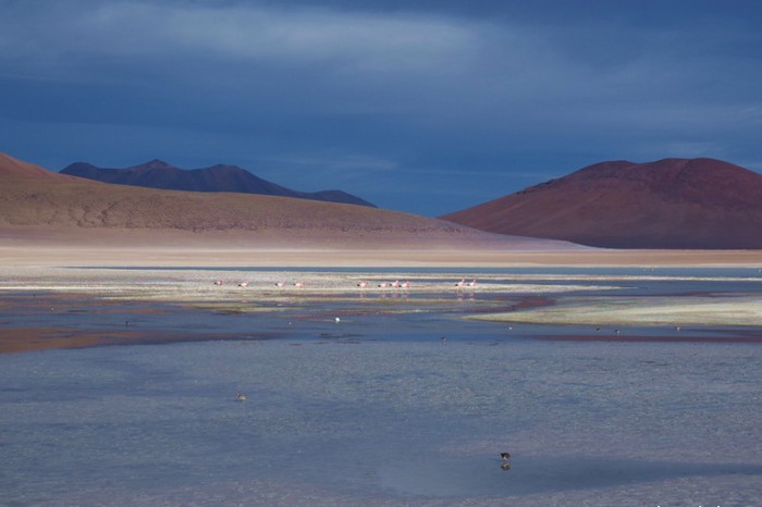
Day 7 of the Laguna Route: Laguna Blanca
Day 7 of the Laguna Route: Views from our campsite
Day 7 of the Laguna Route: The fat bikes
Day 7 of the Laguna Route: Our kitchen in the ruins!
Day 7 of the Laguna Route: Laguna Blanca
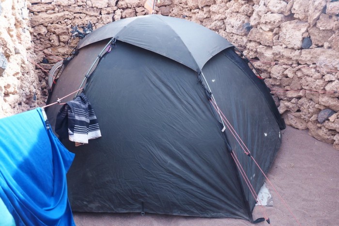
Day 7 of the Laguna Route: Our tent barely fit
Day 7 of the Laguna Route: Our campsite
Day 7 of the Laguna Route: We explored Laguna Blanca and found some abandoned hot springs
Day 7 of the Laguna Route: We explored Laguna Blanca and found some abandoned hot springs
Day 7 of the Laguna Route: We explored Laguna Blanca and found some abandoned hot springs
Day 7 of the Laguna Route: We explored Laguna Blanca and found some abandoned hot springs
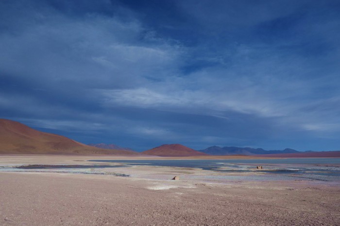
Day 7 of the Laguna Route: Laguna Blanca
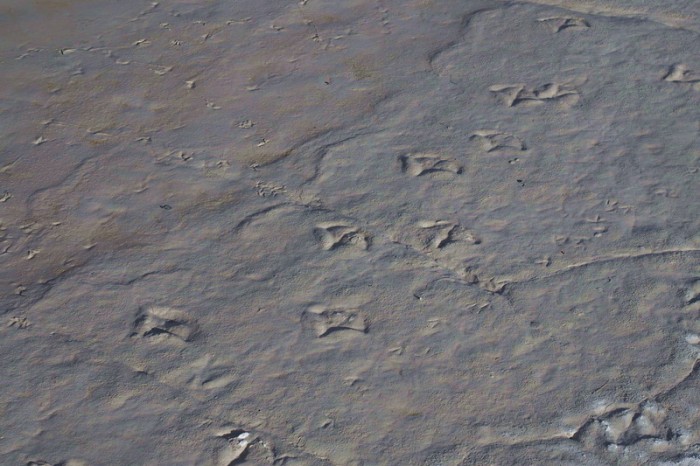
Day 7 of the Laguna Route: Flamingo tracks
Day 7 of the Laguna Route
Day 7 of the Laguna Route: Our campsite
Day 7 of the Laguna Route: Our campsite
Day 7 of the Laguna Route: Sunset from our campsite
Day 7 of the Laguna Route: Sunset from our campsite
Day 7 of the Laguna Route: Sunset from our campsite
Day 7 of the Laguna Route: Sunset from our campsite
Day 7 of the Laguna Route: Sunset from our campsite
Day 7 of the Laguna Route: Sunset from our campsite
Day 7 of the Laguna Route: Sunset from our campsite
Day 7 of the Laguna Route: Sunset from our campsite
Sunday 20th December: Abandoned Buildings near Laguna Blanca to San Pedro de Atacama
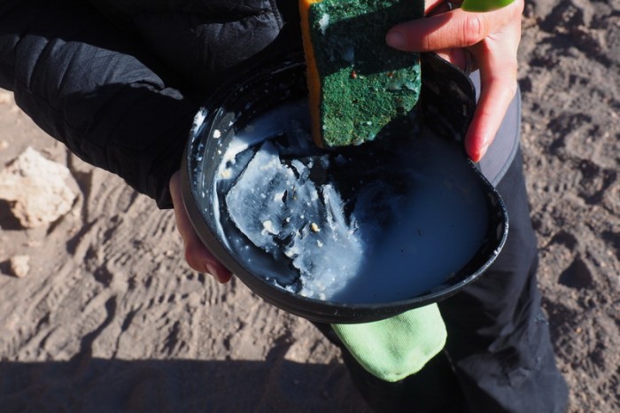
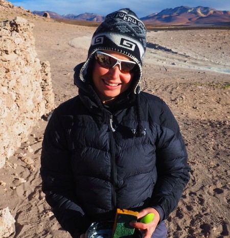
Due to the strong winds the day before, we all agreed to start extra early, so we were up at 5.30am and on the road by 7am. It was -5 degrees and absolutely FREEZING!!! Finally, I had an opportunity to wear the big down jacket that I have been carrying since Alaska! It was so cold that when I tried to wash up our dishes from breakfast, the water froze in the bowls!!! ![]()
Fortunately, the road quality was pretty good on this day and I managed to cycle the entire way to the border!!! Yeah!!!
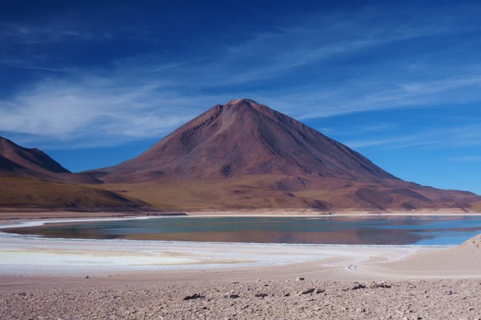
The road took us past the lovely Laguna Verde, which was already starting to turn green. After snapping a few pictures, we continued onto the border past the equally beautiful Laguna Blanca.
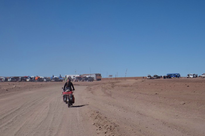
We passed the old refugio on the banks of Laguna Blanca (where a lot of cyclists camp) and continued onto the new refugio, where we showed the park entrance ticket that we had purchased at Laguna Colorado.
We chatted with a number of tourists here, some of whom we had met previously on our way through the Laguna Route. One lovely Dutch man gave us a free bottle of water – bonus!
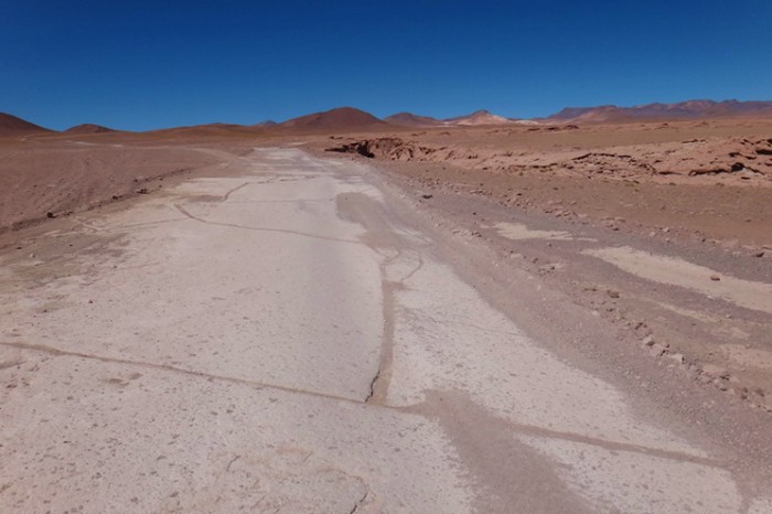
From the ticket office to the border the road was excellent, but full of traffic. The jeeps raced past us creating lots of dust. It wasn’t pleasant.
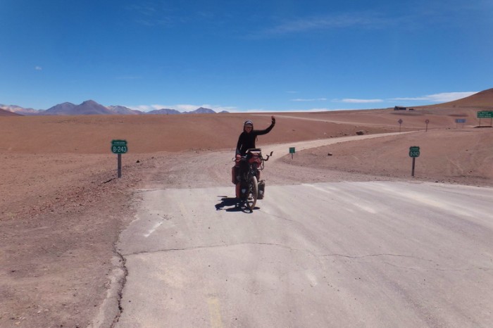
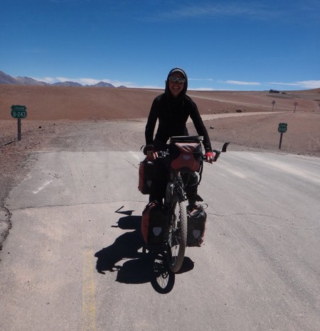
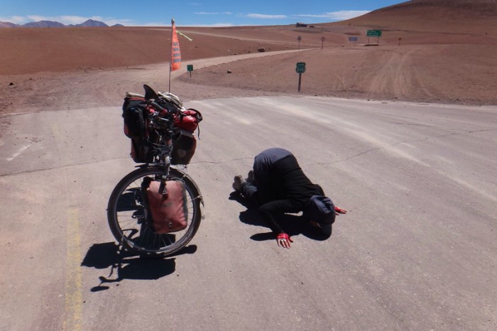
The border crossing on the Bolivian side was a breeze and we didn’t have to pay an exit fee. ![]() From the border it was almost all uphill to Chile. We were all very happy to see bitumen again. I was SO happy that I kissed the road!!!
From the border it was almost all uphill to Chile. We were all very happy to see bitumen again. I was SO happy that I kissed the road!!!
We met a friendly Austrian couple in a hire car here who gave us a beer each to celebrate reaching Chile/bitumen. It was only about 10am, but we didn’t feel that we could refuse such a kind gesture! ![]()
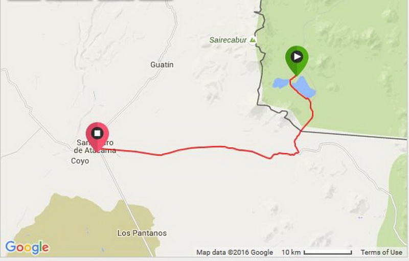
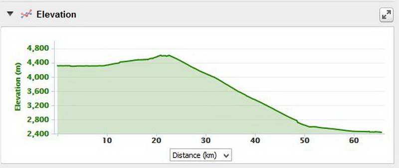
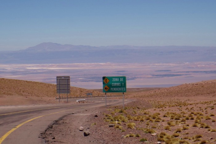
We had been looking forward to the 43km descent into San Pedro de Atacama and it did not disappoint. There was not much headwind and we literally flew down the hill – weeeeeeeee! Even the one uphill section seemed effortless as we were cycling on bitumen, rather than sand.
Chilean immigration was totally dead when we arrived. We got our entry stamps and then passed through customs. All of our panniers were scanned, and although we indicated that we had food with us, the official only inquired about our vitamin tablets. Unexpectedly, we had to provide details regarding the make, model and serial number of each of our bikes to customs. After 16 months on the road, our serial numbers are barely visible. We let the official work it out for himself! ![]()
San Pedro de Atacama is a super pricey place. It was a bit of a shock to the system after Peru and Bolivia. We had been dreaming of an air-conditioned room, but we ended up camping at Aji Verde, as it was the only budget friendly option!
KMs travelled: 66km
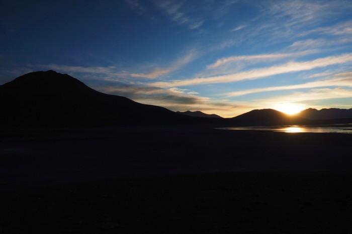
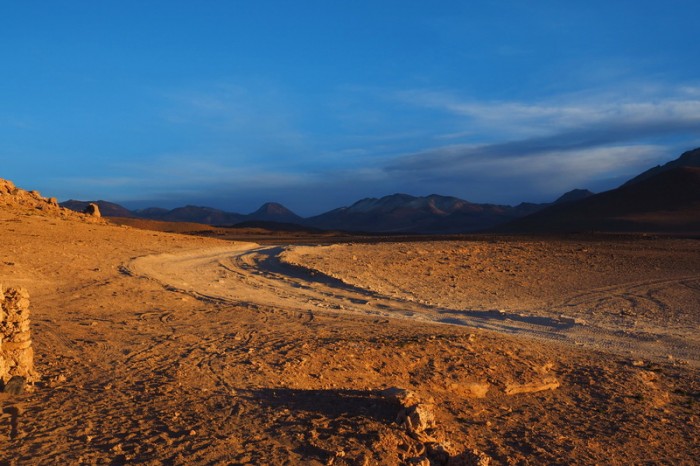
Day 8 of the Laguna Route: Sunrise from our campsite
Day 8 of the Laguna Route: Sunrise from our campsite
Day 8 of the Laguna Route: Sunrise from our campsite
Day 8 of the Laguna Route: It was so cold that the water for washing up froze!
Day 8 of the Laguna Route: It was so cold that the water for washing up froze!
Day 8 of the Laguna Route: Laguna Verde
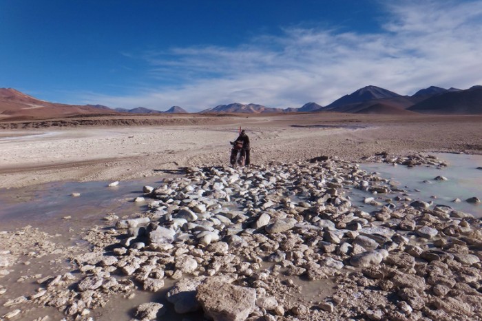
Day 8 of the Laguna Route: River crossing near Laguna Verde
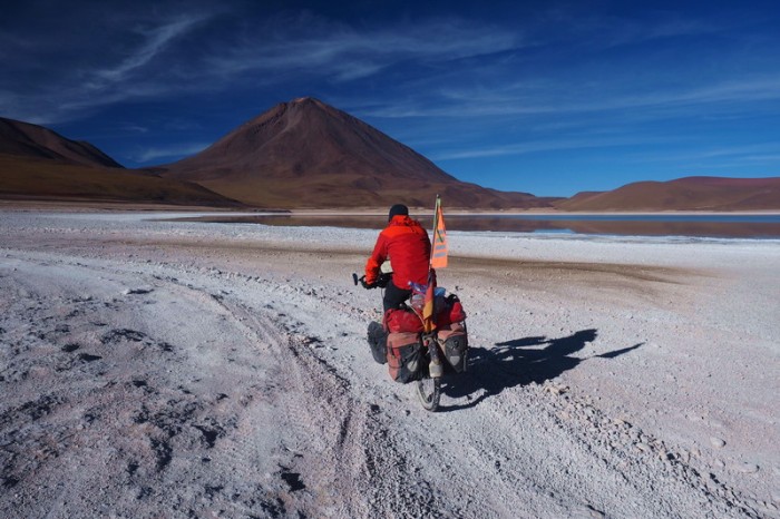
Day 8 of the Laguna Route: Cycling past Laguna Verde
Day 8 of the Laguna Route: Jo cycling away from Laguna Verde
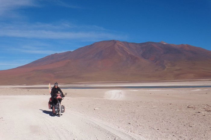
Day 8 of the Laguna Route: David cycling past Laguna Blanca
Day 8 of the Laguna Route: David cycling past Laguna Blanca
Day 8 of the Laguna Route: On our way to the border
Day 8 of the Laguna Route: On our way to the border
Day 8 of the Laguna Route: On our way to the border
Day 8 of the Laguna Route: On our way to the border
Day 8 of the Laguna Route: On our way to the border
Day 8 of the Laguna Route: On our way to the border
Day 8 of the Laguna Route: On our way to the border
Day 8 of the Laguna Route: On our way to the border
Day 8 of the Laguna Route: On our way to the border
Day 8 of the Laguna Route: On our way to the border
Day 8 of the Laguna Route: Wo hoo! We made it to Chile and the end of the infamous Laguna Route!
Day 8 of the Laguna Route: Wo hoo! We made it to Chile and the end of the infamous Laguna Route!
Day 8 of the Laguna Route: Jo kissed the road, she was so happy to see pavement!
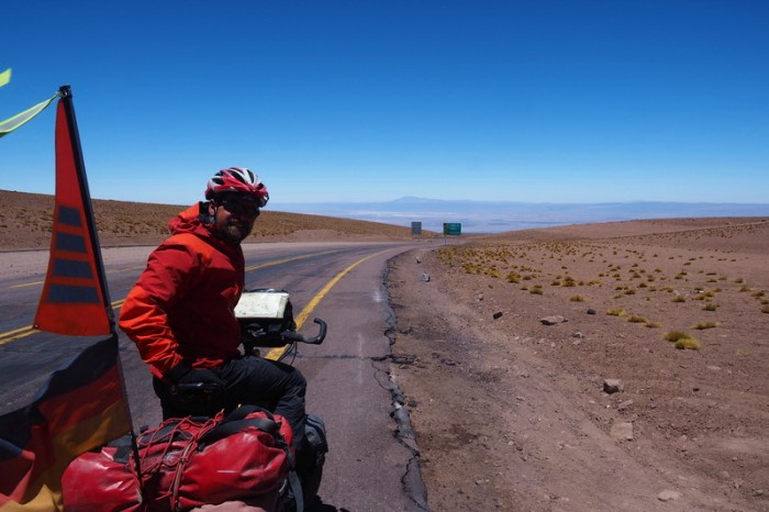
Day 8 of the Laguna Route: At the top of the 43km descent into San Pedro de Atacama
Day 8 of the Laguna Route: At the top of the 43km descent into San Pedro de Atacama
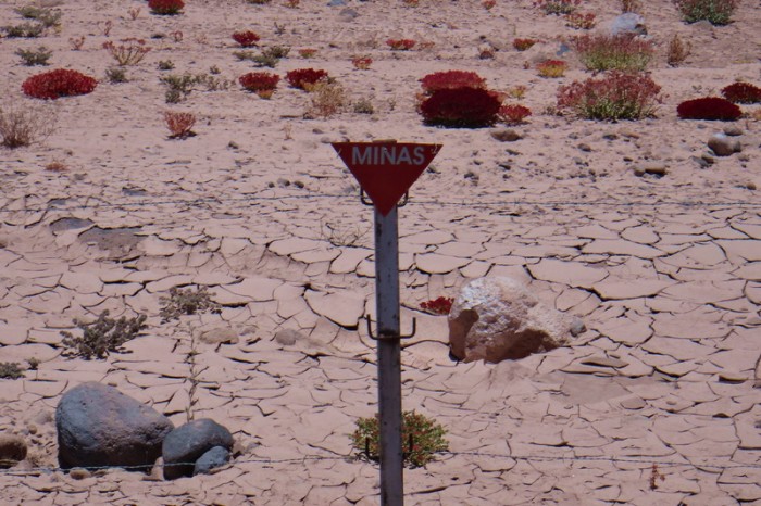
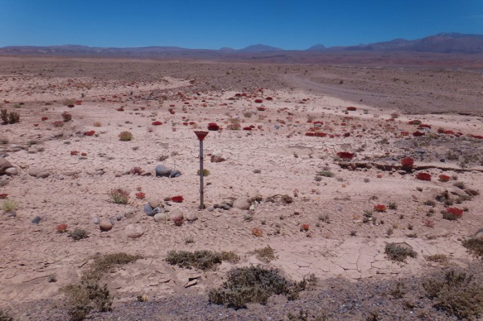
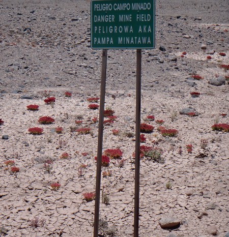
Day 8 of the Laguna Route: On the descent into San Pedro de Atacama we passed mine fields … bit scary!
Day 8 of the Laguna Route: On the descent into San Pedro de Atacama we passed mine fields … bit scary!
Day 8 of the Laguna Route: On the descent into San Pedro de Atacama we passed mine fields … bit scary!










Recent Comments